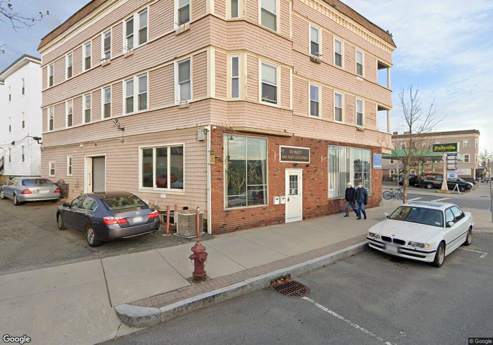
689 Somerville Ave Somerville, MA 02143
Spring Hill NeighborhoodEstimated Value: $2,363,653
7
Beds
8
Baths
9,103
Sq Ft
$260/Sq Ft
Est. Value
About This Home
This home is located at 689 Somerville Ave, Somerville, MA 02143 and is currently estimated at $2,363,653, approximately $259 per square foot. 689 Somerville Ave is a home located in Middlesex County with nearby schools including Somerville High School, Saint Theresa School, and Wild Rose Montessori School.
Ownership History
Date
Name
Owned For
Owner Type
Purchase Details
Closed on
Feb 4, 2004
Sold by
Elm Oak Rt
Bought by
Beaudet Douglas
Current Estimated Value
Home Financials for this Owner
Home Financials are based on the most recent Mortgage that was taken out on this home.
Original Mortgage
$800,000
Outstanding Balance
$374,415
Interest Rate
5.8%
Mortgage Type
Commercial
Estimated Equity
$1,989,238
Create a Home Valuation Report for This Property
The Home Valuation Report is an in-depth analysis detailing your home's value as well as a comparison with similar homes in the area
Home Values in the Area
Average Home Value in this Area
Purchase History
| Date | Buyer | Sale Price | Title Company |
|---|---|---|---|
| Beaudet Douglas | $1,100,000 | -- |
Source: Public Records
Mortgage History
| Date | Status | Borrower | Loan Amount |
|---|---|---|---|
| Open | Beaudet Douglas | $800,000 |
Source: Public Records
Tax History
| Year | Tax Paid | Tax Assessment Tax Assessment Total Assessment is a certain percentage of the fair market value that is determined by local assessors to be the total taxable value of land and additions on the property. | Land | Improvement |
|---|---|---|---|---|
| 2025 | -- | $3,214,200 | $820,300 | $2,393,900 |
| 2024 | -- | $3,207,100 | $820,300 | $2,386,800 |
| 2023 | $0 | $3,150,100 | $820,300 | $2,329,800 |
| 2022 | $0 | $2,896,500 | $781,200 | $2,115,300 |
| 2021 | $0 | $2,702,100 | $744,000 | $1,958,100 |
| 2020 | $0 | $2,580,600 | $715,400 | $1,865,200 |
| 2019 | $0 | $2,165,600 | $622,100 | $1,543,500 |
| 2018 | $0 | $1,701,500 | $565,500 | $1,136,000 |
| 2017 | -- | $1,540,600 | $533,400 | $1,007,200 |
| 2016 | -- | $1,315,600 | $487,900 | $827,700 |
| 2015 | -- | $1,248,600 | $485,200 | $763,400 |
Source: Public Records
Map
Nearby Homes
- 35 Ibbetson St
- 42 Belmont St
- 260 Beacon St Unit 201
- 20 Mossland St
- 6 Forest St
- 555 Somerville Ave Unit 2
- 125 Lowell St Unit 3B
- 125 Lowell St Unit 5C
- 74 Oxford St
- 74 Oxford St Unit 3
- 72 Oxford St Unit 72
- 72 Oxford St
- 17 Monmouth St
- 148 Lowell St Unit 3
- 15 Spring Hill Terrace
- 32-40 White St
- 3 Arlington St Unit 44
- 43 Park St Unit 18
- 161 Lowell St Unit 1
- 18 Upland Rd Unit 1
- 4 Craigie St Unit 4
- 4 Craigie St Unit 3
- 4 Craigie St Unit 2
- 4 Craigie St
- 8 Craigie St
- 8 Craigie St Unit 1
- 10 Craigie St Unit 5
- 14 Craigie St Unit 5
- 14 Craigie St Unit 12
- 14 Craigie St Unit 1
- 691 Somerville Ave
- 7 Craigie St
- 13 Craigie St
- 11 Craigie St Unit 3
- 13 Craigie St Unit 2
- 10 Ibbetson St Unit 3
- 10 Ibbetson St Unit 2
- 10 Ibbetson St Unit 1
- 10 Ibbetson St
- 12 Craigie Terrace
Your Personal Tour Guide
Ask me questions while you tour the home.