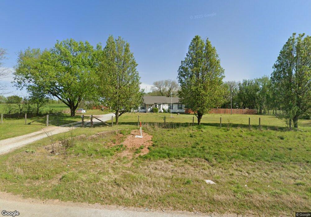
68900 E Highway 60 Wyandotte, OK 74370
Estimated Value: $175,924 - $289,000
3
Beds
1
Bath
1,700
Sq Ft
$144/Sq Ft
Est. Value
About This Home
This home is located at 68900 E Highway 60, Wyandotte, OK 74370 and is currently estimated at $244,231, approximately $143 per square foot. 68900 E Highway 60 is a home located in Ottawa County with nearby schools including Wyandotte Middle School and Wyandotte High School.
Ownership History
Date
Name
Owned For
Owner Type
Purchase Details
Closed on
Apr 7, 2011
Sold by
Snider Kristen and Friend Meta
Bought by
Perry Ray E and Perry Shannon L
Current Estimated Value
Home Financials for this Owner
Home Financials are based on the most recent Mortgage that was taken out on this home.
Original Mortgage
$112,034
Outstanding Balance
$5,817
Interest Rate
4.25%
Mortgage Type
FHA
Estimated Equity
$238,414
Purchase Details
Closed on
Sep 15, 2003
Bought by
Perry Ray E and Perry Shannon L
Purchase Details
Closed on
Jan 16, 1998
Bought by
Convirs Larry and Convirs Judy
Create a Home Valuation Report for This Property
The Home Valuation Report is an in-depth analysis detailing your home's value as well as a comparison with similar homes in the area
Home Values in the Area
Average Home Value in this Area
Purchase History
| Date | Buyer | Sale Price | Title Company |
|---|---|---|---|
| Perry Ray E | -- | Guaranty Abstract Company | |
| Perry Ray E | $76,500 | -- | |
| Convirs Larry | $44,000 | -- |
Source: Public Records
Mortgage History
| Date | Status | Borrower | Loan Amount |
|---|---|---|---|
| Open | Perry Ray E | $112,034 |
Source: Public Records
Tax History Compared to Growth
Tax History
| Year | Tax Paid | Tax Assessment Tax Assessment Total Assessment is a certain percentage of the fair market value that is determined by local assessors to be the total taxable value of land and additions on the property. | Land | Improvement |
|---|---|---|---|---|
| 2024 | $763 | $10,114 | $714 | $9,400 |
| 2023 | $763 | $10,114 | $714 | $9,400 |
| 2022 | $725 | $10,114 | $714 | $9,400 |
| 2021 | $733 | $10,114 | $714 | $9,400 |
| 2020 | $727 | $9,982 | $714 | $9,268 |
| 2019 | $732 | $9,982 | $714 | $9,268 |
| 2018 | $816 | $9,982 | $714 | $9,268 |
| 2017 | $779 | $9,431 | $714 | $8,717 |
| 2016 | $803 | $9,615 | $446 | $9,169 |
| 2015 | $693 | $8,721 | $405 | $8,316 |
| 2014 | $754 | $9,615 | $446 | $9,169 |
Source: Public Records
Map
Nearby Homes
- 42 E 152 Rd
- 0 Business 60
- 22 Oak Hill Dr
- 907 Warnall Cir
- 10.54+/- Acres Old Highway 60
- 205 Oak Ridge Dr
- TBD Washington St
- 20540 State Route 43
- 2288 U S 60
- 1418 Cherokee Ave
- TBD 18.24 Acres K Hwy
- 001 Washington (Old Hwy 60) Ave
- 742 Cemetery Rd
- 1020 Seneca Ave
- 1619 Roark Ave
- 65400 E 155 Rd
- 809 Cleveland St
- 2004 Elm St
- 1826 Sherry Ave
- TBD Tract 1 Old 60 Dr
- 68855 U S 60
- 68921 E Highway 60
- 68927 E Highway 60
- 68921 U S 60
- 68950 U S 60
- 68857 U S 60
- 68857 E Highway 60
- 68859 U S 60
- 68855 E Highway 60
- 68867 E Highway 60
- 68859 E Highway 60
- 68851 E Highway 60
- 68851 E Highway 60
- 68851 U S 60
- 68950 E Highway 60
- 68650 E Highway 60
- 68650 E Highway 60
- 14291 S 690 Rd
- 14291 S 690 Rd
- 13700 S 690 Rd