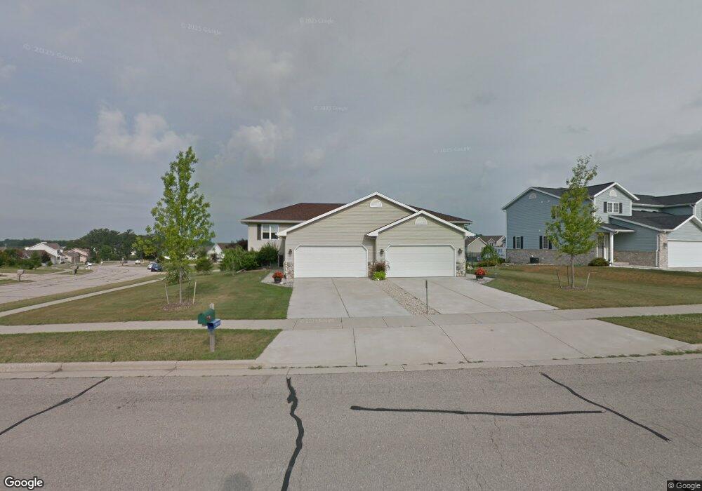
6891 Rembrandt Rd de Forest, WI 53532
Estimated Value: $489,414 - $586,000
Studio
--
Bath
--
Sq Ft
0.34
Acres
About This Home
This home is located at 6891 Rembrandt Rd, de Forest, WI 53532 and is currently estimated at $525,354. 6891 Rembrandt Rd is a home located in Dane County with nearby schools including Eagle Point Elementary School, DeForest Middle School, and DeForest High School.
Ownership History
Date
Name
Owned For
Owner Type
Purchase Details
Closed on
Jul 12, 2012
Sold by
Keating Barbara J
Bought by
Keating Barbara J
Current Estimated Value
Purchase Details
Closed on
Oct 15, 2007
Sold by
Schlitz John R and Johnson Schlitz Dena
Bought by
Keating Barbara and Keating Steven
Home Financials for this Owner
Home Financials are based on the most recent Mortgage that was taken out on this home.
Original Mortgage
$220,000
Outstanding Balance
$139,424
Interest Rate
6.5%
Mortgage Type
Purchase Money Mortgage
Estimated Equity
$385,930
Create a Home Valuation Report for This Property
The Home Valuation Report is an in-depth analysis detailing your home's value as well as a comparison with similar homes in the area
Home Values in the Area
Average Home Value in this Area
Purchase History
| Date | Buyer | Sale Price | Title Company |
|---|---|---|---|
| Keating Barbara J | -- | None Available | |
| Keating Barbara | $367,500 | None Available |
Source: Public Records
Mortgage History
| Date | Status | Borrower | Loan Amount |
|---|---|---|---|
| Open | Keating Barbara | $220,000 |
Source: Public Records
Tax History
| Year | Tax Paid | Tax Assessment Tax Assessment Total Assessment is a certain percentage of the fair market value that is determined by local assessors to be the total taxable value of land and additions on the property. | Land | Improvement |
|---|---|---|---|---|
| 2024 | $6,971 | $400,800 | $74,700 | $326,100 |
| 2023 | $6,680 | $400,800 | $74,700 | $326,100 |
| 2022 | $6,216 | $400,800 | $74,700 | $326,100 |
| 2021 | $7,272 | $364,900 | $82,900 | $282,000 |
| 2020 | $7,464 | $364,900 | $82,900 | $282,000 |
| 2019 | $7,311 | $364,900 | $82,900 | $282,000 |
| 2018 | $6,534 | $364,900 | $82,900 | $282,000 |
| 2017 | $6,281 | $364,900 | $82,900 | $282,000 |
| 2016 | $6,664 | $311,900 | $53,300 | $258,600 |
| 2015 | $6,707 | $311,900 | $53,300 | $258,600 |
| 2014 | $6,439 | $311,900 | $53,300 | $258,600 |
| 2013 | $6,415 | $311,900 | $53,300 | $258,600 |
Source: Public Records
Map
Nearby Homes
- 6850 Rembrandt Rd
- 4396 Low Countries Rd
- 37.66 Acres Gray Rd & Low Countries Rd
- 6836 Parkside Cir
- 6831 Parkside Cir
- 6815 Parkside Cir
- 4075 Whistle Rock Cir
- 6712 Honey Bee
- Lot 413 Whistle Rock Cir
- 4069 Whistle Rock Cir
- 6889 and 6897 N Towne Rd
- 6898 Tuscan Ridge Cir Unit 2
- Lot 8 Diamond Dr
- 908 Yorktown Rd
- Lot 1-2 Gray Rd
- 105 Oak Springs Cir
- 4433 Memorial Cir
- 6662 Dusky Glen
- 7712 Larkspur Ln
- 6661 Dusky Glen
- 6899 Rembrandt Rd
- 6903 Rembrandt Rd
- 4380 Van Winkle Way
- 6852 Rembrandt Rd
- 4375 Van Winkle Way Unit 2
- 4371 Van Winkle Way
- 4375 Low Countries Rd
- 4371 Low Countries Rd
- 6868 Rembrandt Rd
- 6866 Rembrandt Rd
- 4379 Low Countries Rd
- 6870 Rembrandt Rd
- 6864 Rembrandt Rd
- 4388 Van Winkle Way
- 6872 Rembrandt Rd
- 6862 Rembrandt Rd
- 6876 Rembrandt Rd
- 6880 Rembrandt Rd
- 6879 Rembrandt Rd
- 4383 Low Countries Rd