6891 SW Highway 200 Ocala, FL 34476
Southwest Ocala NeighborhoodEstimated Value: $393,358 - $459,000
3
Beds
3
Baths
1,819
Sq Ft
$234/Sq Ft
Est. Value
About This Home
This home is located at 6891 SW Highway 200, Ocala, FL 34476 and is currently estimated at $424,840, approximately $233 per square foot. 6891 SW Highway 200 is a home located in Marion County with nearby schools including Liberty Middle School, West Port High School, and Ina A.Colen Academy.
Ownership History
Date
Name
Owned For
Owner Type
Purchase Details
Closed on
Jul 16, 2012
Sold by
Brewer Jerrold and Vera Brewer
Bought by
Brewer Jerrold
Current Estimated Value
Purchase Details
Closed on
Oct 10, 2001
Sold by
Centers Commerce Inc
Bought by
Barrett Family Partnership V Ltd
Create a Home Valuation Report for This Property
The Home Valuation Report is an in-depth analysis detailing your home's value as well as a comparison with similar homes in the area
Home Values in the Area
Average Home Value in this Area
Purchase History
| Date | Buyer | Sale Price | Title Company |
|---|---|---|---|
| Brewer Jerrold | $100 | None Listed On Document | |
| Barrett Family Partnership V Ltd | $2,000,000 | -- |
Source: Public Records
Tax History
| Year | Tax Paid | Tax Assessment Tax Assessment Total Assessment is a certain percentage of the fair market value that is determined by local assessors to be the total taxable value of land and additions on the property. | Land | Improvement |
|---|---|---|---|---|
| 2025 | $3,227 | $221,855 | -- | -- |
| 2024 | $2,971 | $215,603 | -- | -- |
| 2023 | $2,896 | $209,323 | $0 | $0 |
| 2022 | $2,881 | $203,226 | $0 | $0 |
| 2021 | $2,879 | $197,307 | $0 | $0 |
| 2020 | $2,855 | $194,583 | $0 | $0 |
| 2019 | $2,812 | $190,208 | $0 | $0 |
| 2018 | $2,665 | $186,661 | $0 | $0 |
| 2017 | $2,616 | $182,822 | $0 | $0 |
| 2016 | $2,572 | $179,062 | $0 | $0 |
| 2015 | $3,104 | $170,488 | $0 | $0 |
| 2014 | $2,897 | $166,650 | $0 | $0 |
Source: Public Records
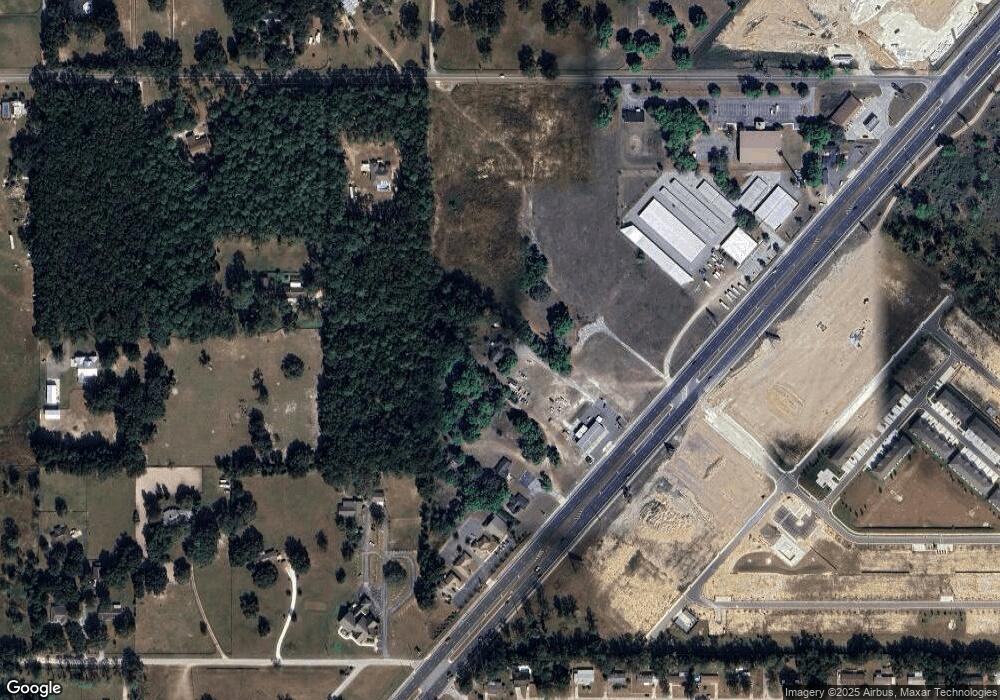
Map
Nearby Homes
- 4468 SW 82nd Loop
- 6524 SW 82nd Loop
- 6526 SW 82nd Loop
- 6528 SW 82nd Loop
- 6530 SW 82nd Loop
- 6542 SW 82nd Loop
- 6544 SW 82nd Loop
- 6740 SW 84th St
- 6584 SW 82nd Loop
- 6586 SW 82nd Loop
- 6588 SW 82nd Loop
- 6590 SW 82nd Loop
- 6592 SW 82nd Loop
- 6594 SW 82nd Loop
- 6596 SW 82nd Loop
- 6598 SW 82nd Loop
- 6601 SW 84th St
- 6942 SW 86th St
- 8342 SW 65th Ave
- 8709 SW 67th Cir
- 6930 SW 80th St
- 7046 SW 80th St
- 6911 SW Highway 200
- 6945 SW Highway 200
- 6945 SW State Road 200
- 6951 SW Highway 200
- 7068 SW 80th St
- 7068 SW 80th St
- 6957 SW Highway 200
- 6618 SW 81st Loop
- 6785 SW State Road 200
- 6961 SW Highway 200
- 7085 SW 83rd Place
- 129th SW 70th Ave
- 6941 SW 84th St
- 7001 SW 80th St
- 6881 SW 84th St
- 6855 SW 84th St Unit PMB11
- 6855 SW 84th St
- 7130 SW 80th St
Your Personal Tour Guide
Ask me questions while you tour the home.