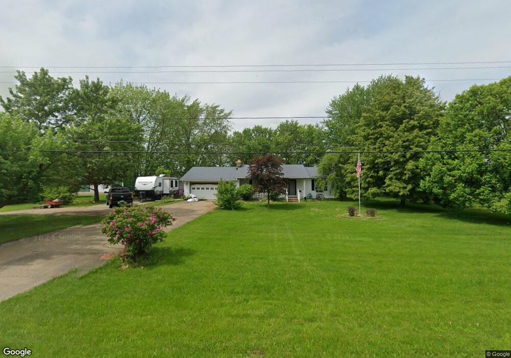
6893 West Harbor Rd Port Clinton, OH 43452
Estimated Value: $220,502 - $257,000
2
Beds
1
Bath
1,400
Sq Ft
$167/Sq Ft
Est. Value
About This Home
This home is located at 6893 West Harbor Rd, Port Clinton, OH 43452 and is currently estimated at $233,376, approximately $166 per square foot. 6893 West Harbor Rd is a home located in Ottawa County with nearby schools including Bataan Memorial Primary School, Bataan Memorial Intermediate School, and Port Clinton Middle School.
Ownership History
Date
Name
Owned For
Owner Type
Purchase Details
Closed on
Aug 9, 2017
Sold by
Szymanowksi Mark A and Szymanowski Donna A
Bought by
Krupp Brandy M and Krupp Samantha J
Current Estimated Value
Home Financials for this Owner
Home Financials are based on the most recent Mortgage that was taken out on this home.
Original Mortgage
$122,735
Outstanding Balance
$103,869
Interest Rate
4.5%
Mortgage Type
FHA
Estimated Equity
$129,507
Purchase Details
Closed on
Sep 15, 2013
Sold by
Cook Herman and Cook Betty Jo
Bought by
Short David
Create a Home Valuation Report for This Property
The Home Valuation Report is an in-depth analysis detailing your home's value as well as a comparison with similar homes in the area
Home Values in the Area
Average Home Value in this Area
Purchase History
| Date | Buyer | Sale Price | Title Company |
|---|---|---|---|
| Krupp Brandy M | $125,000 | None Available | |
| Short David | $6,391 | Attorney |
Source: Public Records
Mortgage History
| Date | Status | Borrower | Loan Amount |
|---|---|---|---|
| Open | Krupp Brandy M | $122,735 |
Source: Public Records
Tax History Compared to Growth
Tax History
| Year | Tax Paid | Tax Assessment Tax Assessment Total Assessment is a certain percentage of the fair market value that is determined by local assessors to be the total taxable value of land and additions on the property. | Land | Improvement |
|---|---|---|---|---|
| 2024 | $2,165 | $66,101 | $9,814 | $56,287 |
| 2023 | $2,165 | $50,817 | $7,025 | $43,792 |
| 2022 | $1,846 | $50,817 | $7,025 | $43,792 |
| 2021 | $1,843 | $50,810 | $7,020 | $43,790 |
| 2020 | $1,694 | $44,780 | $6,060 | $38,720 |
| 2019 | $1,677 | $44,780 | $6,060 | $38,720 |
| 2018 | $1,680 | $44,780 | $6,060 | $38,720 |
| 2017 | $1,253 | $41,690 | $5,880 | $35,810 |
| 2016 | $1,259 | $41,690 | $5,880 | $35,810 |
| 2015 | $1,198 | $41,690 | $5,880 | $35,810 |
| 2014 | $755 | $39,900 | $5,880 | $34,020 |
| 2013 | $1,513 | $39,900 | $5,880 | $34,020 |
Source: Public Records
Map
Nearby Homes
- 141 N Wexford Dr E
- 295 Meachem Rd
- 265 S Meachem Rd
- 265 S Meachem Rd Unit 62
- 265 S Meachem Rd Unit 24
- 265 S Meachem Rd Unit 41
- 265 S Meachem Rd Unit 39
- 9238 W State Route 163
- 7723 W Little Portage Rd E
- 5225 W Lakeshore Dr
- 3800 W Lakeshore Dr
- 162 Oak Ridge Dr
- 2020 S Mud Creek Rd
- 328 E Water St
- 2915 W Rising Sun Rd
- 2915 W Risingsun Rd
- 2860 W Rising Sun Rd
- 147 E Water St
- 14328 W State Route 163
- 130 E Water St
- 6863 West Harbor Rd
- 6929 West Harbor Rd
- 6929 W Harbor Rd
- 6831 West Harbor Rd
- 6862 W Harbor Rd
- 6862 West Harbor Rd
- 37 N Carroll Erie Rd
- 1 N Carroll Erie Rd
- 6986 West Harbor Rd
- 6986 W Harbor Rd
- 6761 West Harbor Rd
- 7020 West Harbor Rd
- 6711 West Harbor Rd
- 6711 W Harbor Rd
- 6669 West Harbor Rd
- 6669 West Harbor Rd
- 6669 W Harbor Rd
- 6659 West Harbor Rd
- 6598 W Harbor Rd
- 7020 W State Route 163