Estimated Value: $268,141 - $583,000
2
Beds
2
Baths
1,567
Sq Ft
$245/Sq Ft
Est. Value
About This Home
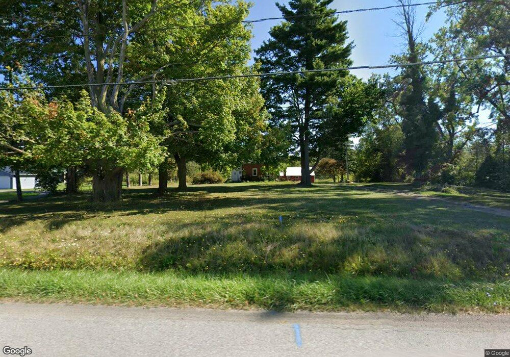
This home is located at 6895 Maple Rd, Akron, NY 14001 and is currently estimated at $384,535, approximately $245 per square foot. 6895 Maple Rd is a home located in Erie County with nearby schools including Akron Elementary School, Akron Middle School, and Akron High School.
Ownership History
Date
Name
Owned For
Owner Type
Purchase Details
Closed on
Jul 21, 2000
Sold by
Household Finance Realty
Bought by
Watson Doreen
Current Estimated Value
Purchase Details
Closed on
Mar 23, 2000
Sold by
Bundy Myron R
Bought by
Household Finance Realty Corp Of Ny
Home Financials for this Owner
Home Financials are based on the most recent Mortgage that was taken out on this home.
Original Mortgage
$60,000
Interest Rate
8.28%
Mortgage Type
Purchase Money Mortgage
Create a Home Valuation Report for This Property
The Home Valuation Report is an in-depth analysis detailing your home's value as well as a comparison with similar homes in the area
Home Values in the Area
Average Home Value in this Area
Purchase History
| Date | Buyer | Sale Price | Title Company |
|---|---|---|---|
| Watson Doreen | $87,000 | Duane G. Root | |
| Household Finance Realty Corp Of Ny | $126,755 | Lawyers Title Insurance Corp |
Source: Public Records
Mortgage History
| Date | Status | Borrower | Loan Amount |
|---|---|---|---|
| Previous Owner | Household Finance Realty Corp Of Ny | $60,000 |
Source: Public Records
Tax History
| Year | Tax Paid | Tax Assessment Tax Assessment Total Assessment is a certain percentage of the fair market value that is determined by local assessors to be the total taxable value of land and additions on the property. | Land | Improvement |
|---|---|---|---|---|
| 2024 | $2,409 | $135,000 | $48,900 | $86,100 |
| 2023 | $2,422 | $135,000 | $48,900 | $86,100 |
| 2022 | $2,766 | $120,000 | $43,600 | $76,400 |
| 2021 | $2,933 | $120,000 | $43,600 | $76,400 |
| 2020 | $4,277 | $189,900 | $35,300 | $154,600 |
| 2019 | $3,340 | $139,000 | $35,300 | $103,700 |
| 2018 | $3,447 | $139,000 | $35,300 | $103,700 |
| 2017 | $1,611 | $139,000 | $35,300 | $103,700 |
| 2016 | $3,357 | $139,000 | $35,300 | $103,700 |
| 2015 | -- | $139,000 | $35,300 | $103,700 |
| 2014 | -- | $139,000 | $35,300 | $103,700 |
Source: Public Records
Map
Nearby Homes
- 00 Maple Rd
- 12469 McNeeley Rd
- 76 Jackson St
- 68 Jackson St
- 70 Jackson St
- 12384 Rapids Rd
- 18 Brodies Way
- 6335 Hake Rd
- 6315 Hake Rd
- 4 Brodies Way
- 2 Brodies Way
- 85 Main St
- 27 Bloomingdale Ave
- 81 Eckerson Ave
- 7507 Greenbush Rd
- 0 Clarence Center Rd
- 2 Clarence Center Rd
- 1 Clarence Center Rd
- VL Swift Mills Rd S
- 13633 Carney Rd
- 6911 Maple Rd
- 6887 Maple Rd
- 6923 Maple Rd
- 6860 Maple Rd
- 6949 Maple Rd
- 226 Gerald
- 11288 Main
- 11280 Main
- 26 Thistle Down-Golden Pond
- 218 Gerald
- Lot 163 Saratoga La
- 212 Gerald
- 224 Gerald Rd
- 24 Brodie's Way
- 00 Havenwood Lot 11
- 00 Henskee
- 00 Stage Lot #1
- 00 Stage Lot #3
- 00 Stage Lot #2
- V/L Swift Mills-The Harrington
Your Personal Tour Guide
Ask me questions while you tour the home.