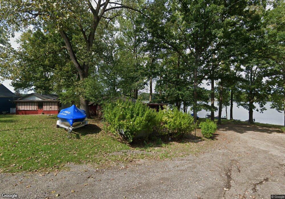
68974 Center St Paw Paw, MI 49079
Estimated Value: $168,588 - $451,000
--
Bed
--
Bath
472
Sq Ft
$583/Sq Ft
Est. Value
About This Home
This home is located at 68974 Center St, Paw Paw, MI 49079 and is currently estimated at $275,397, approximately $583 per square foot. 68974 Center St is a home located in Van Buren County with nearby schools including Paw Paw Early Elementary School, Paw Paw Later Elementary School, and Paw Paw Middle School.
Ownership History
Date
Name
Owned For
Owner Type
Purchase Details
Closed on
Mar 2, 2022
Sold by
Overstreet Elaine Victoria
Bought by
Overstreet Elaine Victoria
Current Estimated Value
Purchase Details
Closed on
Jun 30, 2020
Sold by
Lewis Dorothy Anne and Appenteng Stephanie Lewis
Bought by
Lewis Dorothy Anne and Appenteng Stephen Lewis
Purchase Details
Closed on
Apr 29, 2015
Sold by
Williams Ruth
Bought by
Ruth Williams Survivor S Trust
Purchase Details
Closed on
Aug 2, 2014
Sold by
Williams Ruth and Williams Homer L
Bought by
Homer & Ruth Williams Family Trust
Create a Home Valuation Report for This Property
The Home Valuation Report is an in-depth analysis detailing your home's value as well as a comparison with similar homes in the area
Home Values in the Area
Average Home Value in this Area
Purchase History
| Date | Buyer | Sale Price | Title Company |
|---|---|---|---|
| Overstreet Elaine Victoria | -- | -- | |
| Lewis Dorothy Anne | -- | None Available | |
| Ruth Williams Survivor S Trust | -- | None Available | |
| Homer & Ruth Williams Family Trust | -- | None Available |
Source: Public Records
Tax History Compared to Growth
Tax History
| Year | Tax Paid | Tax Assessment Tax Assessment Total Assessment is a certain percentage of the fair market value that is determined by local assessors to be the total taxable value of land and additions on the property. | Land | Improvement |
|---|---|---|---|---|
| 2025 | $1,294 | $41,900 | $0 | $0 |
| 2024 | $241 | $47,400 | $0 | $0 |
| 2023 | $229 | $47,100 | $0 | $0 |
| 2022 | $1,121 | $20,500 | $0 | $0 |
| 2021 | $1,271 | $29,300 | $5,400 | $23,900 |
| 2020 | $1,215 | $28,300 | $5,400 | $22,900 |
| 2019 | $1,179 | $24,600 | $24,600 | $0 |
| 2018 | $1,155 | $37,200 | $37,200 | $0 |
| 2017 | $1,133 | $28,000 | $0 | $0 |
| 2016 | $1,124 | $28,000 | $0 | $0 |
| 2015 | $639 | $28,000 | $0 | $0 |
| 2014 | $636 | $21,173 | $0 | $0 |
| 2013 | -- | $21,200 | $21,200 | $0 |
Source: Public Records
Map
Nearby Homes
- 0 Palmer Dr
- 43834 Eagle Lake Dr
- 0 70th Ave
- 43618 Carla Dr
- 44850 Woodman Dr
- 77199 M-51
- 60846 N Lakeshore Dr
- Parcel A Territorial Rd
- 66598 Territorial Rd
- 58356 Cr 671
- 58797 Territorial Rd
- 73541 39th St
- 38126 72nd Ave Unit b
- 38126 72nd Ave
- 80660 42nd St
- 81480 42nd St
- 44702 B 56th Ave
- 00 Lakeview Dr
- TBD Greenbriar Terrace
- 310 Rogers St
- 68987 Eagle Dr
- 69016 Center St
- 68926 Eagle Dr
- 69074 Center St
- 68913 Palmer Dr
- 69081 Center St
- 1 Center St
- 0 Center St
- 69124 Center St
- 68939 Palmer Dr
- 69123 Center St
- 68991 Palmer Dr
- 69193 Center St
- 69138 Palmer Dr
- 69025 Palmer Dr
- 69083 Palmer Dr
- 44086 South St
- 69121 Palmer Dr
- 43978 Eagle Lake Dr
- 57 South St