6899 Mcnary Rd Bainbridge, OH 45612
Estimated Value: $135,000 - $455,000
3
Beds
2
Baths
2,796
Sq Ft
$89/Sq Ft
Est. Value
About This Home
This home is located at 6899 Mcnary Rd, Bainbridge, OH 45612 and is currently estimated at $248,643, approximately $88 per square foot. 6899 Mcnary Rd is a home located in Highland County with nearby schools including McClain High School.
Ownership History
Date
Name
Owned For
Owner Type
Purchase Details
Closed on
Nov 8, 2016
Sold by
Martin Kenneth R and Martin Shelby
Bought by
Martin Brian and Martin Melissa
Current Estimated Value
Home Financials for this Owner
Home Financials are based on the most recent Mortgage that was taken out on this home.
Original Mortgage
$171,900
Outstanding Balance
$138,223
Interest Rate
3.47%
Mortgage Type
Purchase Money Mortgage
Estimated Equity
$110,420
Purchase Details
Closed on
Dec 16, 2009
Sold by
Green Tree Servicing Llc
Bought by
Martin Kenneth R
Purchase Details
Closed on
Jul 30, 2009
Sold by
Shoemaker David A and Shoemaker Elizabeth
Bought by
Green Tree Servicing Llc
Purchase Details
Closed on
Mar 18, 1998
Sold by
Green Tree Financial Ser
Bought by
Shoemaker David A and Shoemaker Elizabeth
Home Financials for this Owner
Home Financials are based on the most recent Mortgage that was taken out on this home.
Original Mortgage
$63,803
Interest Rate
7.14%
Mortgage Type
New Conventional
Create a Home Valuation Report for This Property
The Home Valuation Report is an in-depth analysis detailing your home's value as well as a comparison with similar homes in the area
Home Values in the Area
Average Home Value in this Area
Purchase History
| Date | Buyer | Sale Price | Title Company |
|---|---|---|---|
| Martin Brian | $204,000 | Triso Title Inc | |
| Martin Kenneth R | $25,000 | None Available | |
| Green Tree Servicing Llc | $30,000 | Attorney | |
| Shoemaker David A | $62,000 | -- |
Source: Public Records
Mortgage History
| Date | Status | Borrower | Loan Amount |
|---|---|---|---|
| Open | Martin Brian | $171,900 | |
| Previous Owner | Shoemaker David A | $63,803 |
Source: Public Records
Tax History Compared to Growth
Tax History
| Year | Tax Paid | Tax Assessment Tax Assessment Total Assessment is a certain percentage of the fair market value that is determined by local assessors to be the total taxable value of land and additions on the property. | Land | Improvement |
|---|---|---|---|---|
| 2024 | $564 | $17,930 | $12,640 | $5,290 |
| 2023 | $564 | $11,280 | $7,530 | $3,750 |
| 2022 | $392 | $11,280 | $7,530 | $3,750 |
| 2021 | $374 | $11,280 | $7,530 | $3,750 |
| 2020 | $320 | $9,390 | $6,270 | $3,120 |
| 2019 | $325 | $9,390 | $6,270 | $3,120 |
| 2018 | $327 | $9,390 | $6,270 | $3,120 |
| 2017 | $550 | $15,680 | $11,550 | $4,130 |
| 2016 | $551 | $15,680 | $11,550 | $4,130 |
| 2015 | $573 | $15,680 | $11,550 | $4,130 |
| 2014 | $572 | $14,910 | $10,990 | $3,920 |
| 2013 | $573 | $14,910 | $10,990 | $3,920 |
Source: Public Records
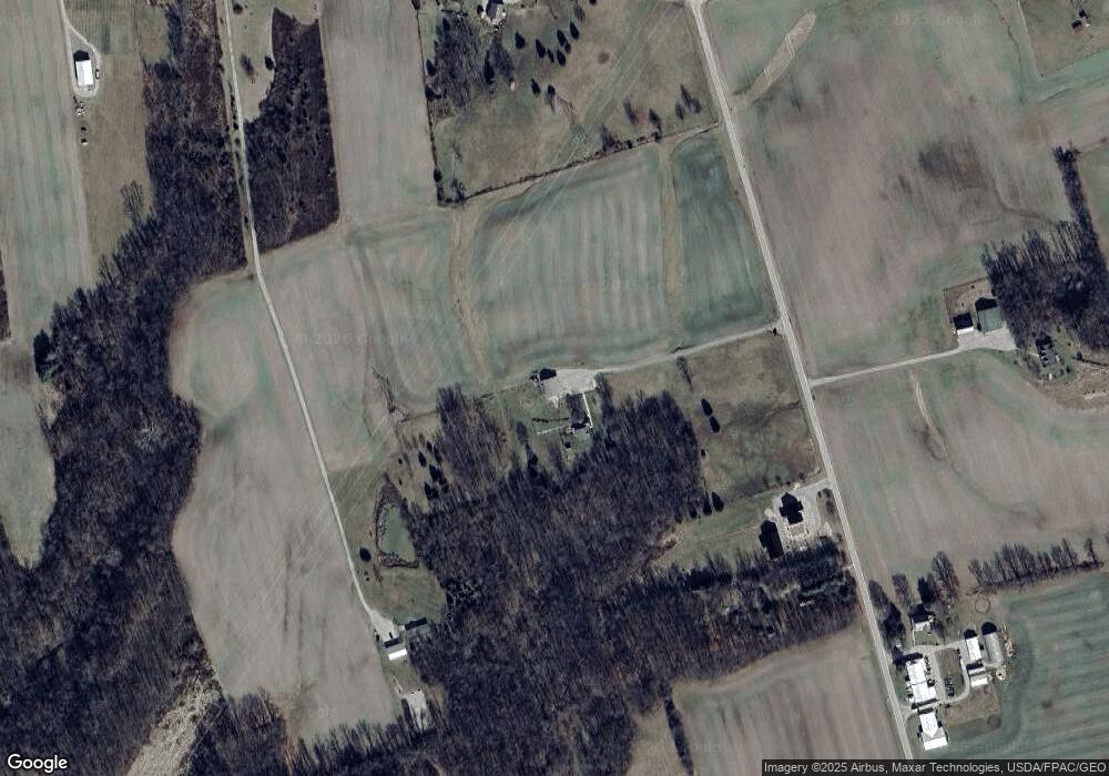
Map
Nearby Homes
- 14703 Brier Rd
- 7724 Cave Rd
- 61 Maple Dr
- 0 Maple Dr Unit 1841507
- 355 Maple Dr
- 12977 U S 50
- 6838 McCoppin Mill Rd
- 5283 Drybone Rd
- 1540 Cove Run Rd
- 6935 Laura Blvd
- 0.459ac Lakefront Dr
- 0 Martha Dr Unit 1857951
- 1646 Bell Hollow Rd
- 7094 Cedar Trail
- 316 S Maple St
- 11850 Maple Trail
- 201 N Maple St
- 301 N Maple St
- 213 S Benner Hill Rd
- 0 Schmidt Rd
- 6941 Mcnary Rd
- 6909 Mcnary Rd
- 6842 Mcnary Rd
- 6828 Mcnary Rd
- 14590 Brier Rd
- 6862 Mcnary Rd
- 14540 Brier Rd
- 14701 Brier Rd
- 14520 Briar Hill Rd
- 14472 Brier Rd
- 14472 Brier Rd
- 14500 Brier Rd
- 14635 Brier Rd
- 14641 Brier Rd
- 14424 Brier Rd
- 14783 Brier Rd
- 14362 Brier Rd
- 14362 Brier Rd
- 14835 Brier Rd
- 14799 Brier Rd