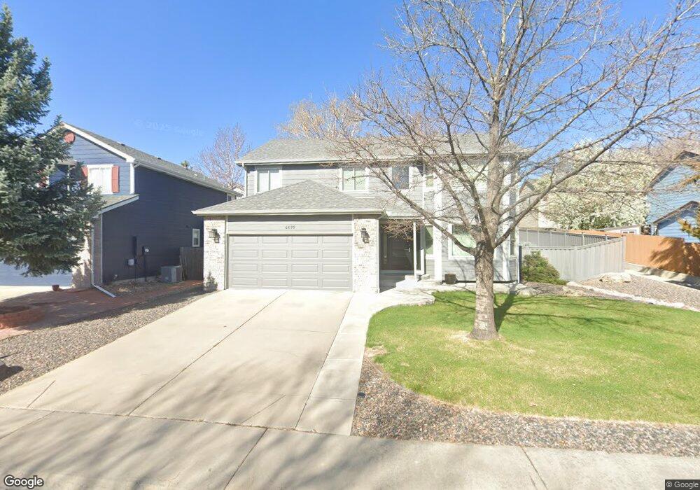
6899 Otis Ct Arvada, CO 80003
Lamar Heights NeighborhoodEstimated Value: $670,703 - $808,000
3
Beds
5
Baths
2,216
Sq Ft
$331/Sq Ft
Est. Value
About This Home
This home is located at 6899 Otis Ct, Arvada, CO 80003 and is currently estimated at $733,676, approximately $331 per square foot. 6899 Otis Ct is a home located in Jefferson County with nearby schools including Swanson Elementary School, North Arvada Middle School, and Arvada High School.
Ownership History
Date
Name
Owned For
Owner Type
Purchase Details
Closed on
Jun 17, 1994
Sold by
Advantage Design Build Inc
Bought by
Oline Terry D and Oline Mary M
Current Estimated Value
Home Financials for this Owner
Home Financials are based on the most recent Mortgage that was taken out on this home.
Original Mortgage
$130,000
Interest Rate
8.49%
Create a Home Valuation Report for This Property
The Home Valuation Report is an in-depth analysis detailing your home's value as well as a comparison with similar homes in the area
Home Values in the Area
Average Home Value in this Area
Purchase History
| Date | Buyer | Sale Price | Title Company |
|---|---|---|---|
| Oline Terry D | $174,684 | Land Title |
Source: Public Records
Mortgage History
| Date | Status | Borrower | Loan Amount |
|---|---|---|---|
| Closed | Oline Terry D | $130,000 |
Source: Public Records
Tax History
| Year | Tax Paid | Tax Assessment Tax Assessment Total Assessment is a certain percentage of the fair market value that is determined by local assessors to be the total taxable value of land and additions on the property. | Land | Improvement |
|---|---|---|---|---|
| 2024 | $3,603 | $43,847 | $17,506 | $26,341 |
| 2023 | $3,603 | $43,847 | $17,506 | $26,341 |
| 2022 | $2,889 | $36,451 | $15,362 | $21,089 |
| 2021 | $2,937 | $37,500 | $15,804 | $21,696 |
| 2020 | $2,632 | $34,420 | $10,210 | $24,210 |
| 2019 | $2,596 | $34,420 | $10,210 | $24,210 |
| 2018 | $2,065 | $28,289 | $6,883 | $21,406 |
| 2017 | $1,890 | $28,289 | $6,883 | $21,406 |
| 2016 | $1,634 | $25,128 | $6,661 | $18,467 |
| 2015 | $1,327 | $25,128 | $6,661 | $18,467 |
| 2014 | $1,327 | $21,070 | $5,301 | $15,769 |
Source: Public Records
Map
Nearby Homes
- 6837 Pierce St
- 6769 W 70th Ave
- 6885 W 69th Place
- 6788 Pierce Way
- 7079 Otis Ct
- 6721 Quay Ct
- 7253 W 69th Ave
- 6317 W 71st Ave
- 6953 Ingalls St
- 6537 Otis St
- 6501 W 65th Ave
- 6611 Upham Dr
- 5724 W 71st Ave
- 7555 W 69th Place
- 6441 W 73rd Place
- 5670 W 71st Ave
- 6695 Fenton St
- 7139 W 74th Ave
- 7054 W 74th Place
- 7447 Newland St