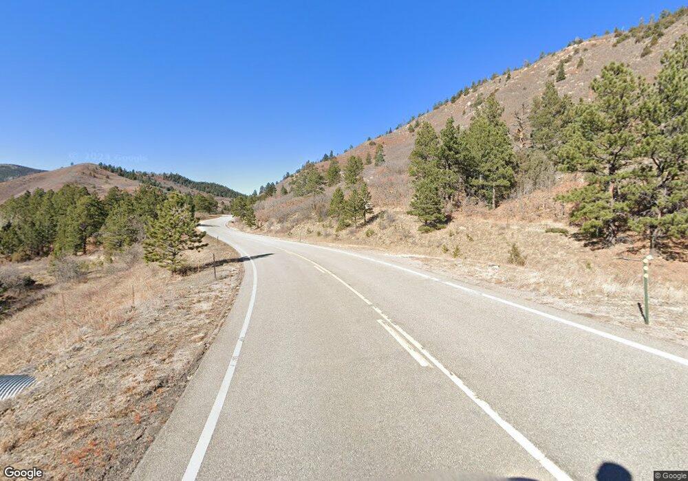
6899 State Highway 12 Trinidad, CO 81082
Estimated Value: $340,000 - $523,000
4
Beds
2
Baths
2,156
Sq Ft
$193/Sq Ft
Est. Value
About This Home
This home is located at 6899 State Highway 12, Trinidad, CO 81082 and is currently estimated at $415,888, approximately $192 per square foot. 6899 State Highway 12 is a home with nearby schools including Primero Elementary School and Primero Junior/Senior High School.
Ownership History
Date
Name
Owned For
Owner Type
Purchase Details
Closed on
Jan 3, 2022
Sold by
Vince Massarotti
Bought by
Massarotti Vince and Massarotti Holly L
Current Estimated Value
Home Financials for this Owner
Home Financials are based on the most recent Mortgage that was taken out on this home.
Original Mortgage
$146,700
Outstanding Balance
$135,202
Interest Rate
3.11%
Mortgage Type
New Conventional
Estimated Equity
$280,686
Purchase Details
Closed on
Feb 10, 2015
Sold by
Chavez Charlie B
Bought by
Massarotti Vince
Home Financials for this Owner
Home Financials are based on the most recent Mortgage that was taken out on this home.
Original Mortgage
$162,011
Interest Rate
3.89%
Mortgage Type
FHA
Create a Home Valuation Report for This Property
The Home Valuation Report is an in-depth analysis detailing your home's value as well as a comparison with similar homes in the area
Home Values in the Area
Average Home Value in this Area
Purchase History
| Date | Buyer | Sale Price | Title Company |
|---|---|---|---|
| Massarotti Vince | -- | None Listed On Document | |
| Massarotti Vince | $165,000 | None Available |
Source: Public Records
Mortgage History
| Date | Status | Borrower | Loan Amount |
|---|---|---|---|
| Open | Massarotti Vince | $146,700 | |
| Previous Owner | Massarotti Vince | $162,011 |
Source: Public Records
Tax History Compared to Growth
Tax History
| Year | Tax Paid | Tax Assessment Tax Assessment Total Assessment is a certain percentage of the fair market value that is determined by local assessors to be the total taxable value of land and additions on the property. | Land | Improvement |
|---|---|---|---|---|
| 2025 | $657 | $23,330 | $3,160 | $20,170 |
| 2024 | $657 | $22,380 | $3,160 | $19,220 |
| 2023 | $657 | $18,700 | $2,640 | $16,060 |
| 2022 | $411 | $13,560 | $3,280 | $10,280 |
| 2021 | $497 | $13,940 | $3,370 | $10,570 |
| 2020 | $417 | $12,480 | $3,370 | $9,110 |
| 2019 | $4 | $12,480 | $3,370 | $9,110 |
| 2018 | $344 | $11,600 | $3,400 | $8,200 |
| 2017 | $343 | $11,600 | $0 | $0 |
| 2015 | $382 | $15,406 | $0 | $0 |
| 2013 | $442 | $15,406 | $3,756 | $11,649 |
Source: Public Records
Map
Nearby Homes
- 6835 Colorado 12
- 6655 Colorado 12
- 6655 State Highway 12
- 0 Rancho La Garita Lot 175 Unit REC6232652
- TBD Rancho La Garita Lot 175
- 8315 Gun Barrel Ridge
- 14338 North Ridge
- 14333 North Ridge
- Rd
- 13900 Highway 12
- 0 Rancho Escondido Lot 15
- TBD Rancho Escondido Lot 15
- 0 Malcolm Rd Unit REC4332627
- 0 Rancho Escondido Lot 23c
- 14552 Timber Valley Dr
- 13121 Northridge Rd
- 13250 Mountain Meadow Trace
- TBD San Pablo Canyon Lot 6
- 0 San Pablo Canyon Rd
- 0 Loubier Unit REC4907603
- 6890 Colorado 12
- 6890 State Highway 12
- 6890 State Highway 12 Unit 6&9
- 6890 State Highway 12
- 6890A State Highway 12
- 6886 State Highway 12
- 6892 State Highway 12
- 6889 Stonewall Ln
- 6875 Stonewall
- 6894A State Highway 12
- 6898 Stonewall Meadows Rd
- 6894 Stonewall Meadows
- 6894 State Highway 12
- 6872 State Highway 12
- 6870 State Highway 12
- 6884 Stonewall Meadows Rd
- 6737 State Highway 12
- 6878 State Highway 12
- 6900 State Highway 12
- 6731 State Highway 12
