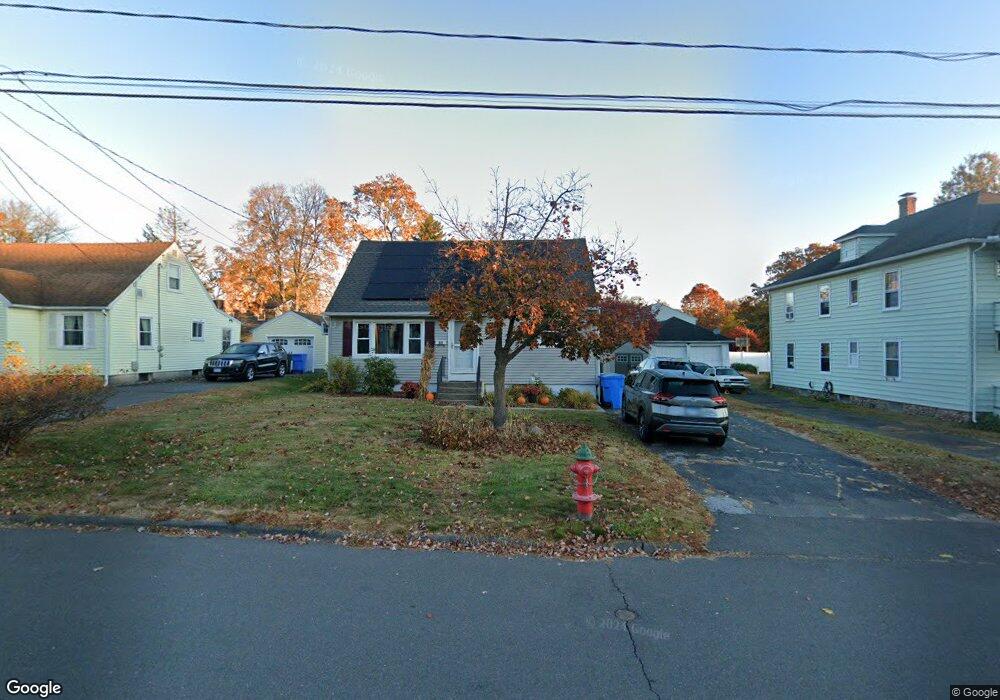
69 6th St Bristol, CT 06010
Forestville NeighborhoodEstimated Value: $244,000 - $284,000
4
Beds
1
Bath
922
Sq Ft
$285/Sq Ft
Est. Value
About This Home
This home is located at 69 6th St, Bristol, CT 06010 and is currently estimated at $262,628, approximately $284 per square foot. 69 6th St is a home located in Hartford County with nearby schools including Ellen P. Hubbell School, Northeast Middle School, and Bristol Eastern High School.
Ownership History
Date
Name
Owned For
Owner Type
Purchase Details
Closed on
Jul 31, 1998
Sold by
Carchidi Edward A and Carchidi Karen E
Bought by
Wolf Michelle and Delorenzo Michael
Current Estimated Value
Purchase Details
Closed on
Jun 19, 1995
Sold by
Galiette William T and Galiette Donna M
Bought by
Pisiakowski Edward and Pisiakowski Betty
Purchase Details
Closed on
Jun 25, 1991
Sold by
Carchidi Kathleen
Bought by
Carchidi Edward A and Carchidi Karen E
Create a Home Valuation Report for This Property
The Home Valuation Report is an in-depth analysis detailing your home's value as well as a comparison with similar homes in the area
Home Values in the Area
Average Home Value in this Area
Purchase History
| Date | Buyer | Sale Price | Title Company |
|---|---|---|---|
| Wolf Michelle | $101,000 | -- | |
| Pisiakowski Edward | $115,000 | -- | |
| Carchidi Edward A | $130,000 | -- |
Source: Public Records
Mortgage History
| Date | Status | Borrower | Loan Amount |
|---|---|---|---|
| Open | Carchidi Edward A | $197,600 | |
| Closed | Carchidi Edward A | $161,000 | |
| Closed | Carchidi Edward A | $15,705 |
Source: Public Records
Tax History
| Year | Tax Paid | Tax Assessment Tax Assessment Total Assessment is a certain percentage of the fair market value that is determined by local assessors to be the total taxable value of land and additions on the property. | Land | Improvement |
|---|---|---|---|---|
| 2025 | $3,964 | $117,460 | $32,270 | $85,190 |
| 2024 | $3,739 | $117,390 | $32,270 | $85,120 |
| 2023 | $3,563 | $117,390 | $32,270 | $85,120 |
| 2022 | $3,127 | $81,550 | $24,430 | $57,120 |
| 2021 | $3,127 | $81,550 | $24,430 | $57,120 |
| 2020 | $3,127 | $81,550 | $24,430 | $57,120 |
| 2019 | $3,103 | $81,550 | $24,430 | $57,120 |
| 2018 | $3,008 | $81,550 | $24,430 | $57,120 |
| 2017 | $3,132 | $86,940 | $34,930 | $52,010 |
| 2016 | $3,132 | $86,940 | $34,930 | $52,010 |
| 2015 | $3,009 | $86,940 | $34,930 | $52,010 |
| 2014 | $3,009 | $86,940 | $34,930 | $52,010 |
Source: Public Records
Map
Nearby Homes
- 156 New St
- 334 W Washington St
- 196 Frederick St
- 115 Daniel Rd
- 92 Garfield Rd
- 62 Chatham Ln
- 54 Downs St
- 103 Benham St
- 122 Bayberry Dr
- 64 Douglas Rd
- 510 South St
- 309 Queen St
- 114 Lake Ave
- 370 Emmett St Unit 5-5
- 370 Emmett St Unit 5-2
- 370 Emmett St Unit 3-2
- 370 Emmett St Unit 5-3
- 370 Emmett St Unit 5-1
- 370 Emmett St Unit 5-4
- 371 Emmett St Unit 47