69 Airport Rd Pittstown, NJ 08867
Estimated Value: $1,033,505 - $1,201,000
--
Bed
--
Bath
3,860
Sq Ft
$293/Sq Ft
Est. Value
About This Home
This home is located at 69 Airport Rd, Pittstown, NJ 08867 and is currently estimated at $1,130,376, approximately $292 per square foot. 69 Airport Rd is a home with nearby schools including Alexandria Middle School and Delaware Valley Regional High School.
Ownership History
Date
Name
Owned For
Owner Type
Purchase Details
Closed on
Apr 29, 2021
Sold by
Pond David and Pond Karen
Bought by
Dietz Kenneth and Dietz Sherry
Current Estimated Value
Home Financials for this Owner
Home Financials are based on the most recent Mortgage that was taken out on this home.
Original Mortgage
$420,000
Outstanding Balance
$317,977
Interest Rate
3.1%
Mortgage Type
New Conventional
Estimated Equity
$812,399
Purchase Details
Closed on
Sep 10, 2003
Sold by
Fritsche William L and Fritsche Beatrice M
Bought by
Pond David and Pond Karen
Create a Home Valuation Report for This Property
The Home Valuation Report is an in-depth analysis detailing your home's value as well as a comparison with similar homes in the area
Home Values in the Area
Average Home Value in this Area
Purchase History
| Date | Buyer | Sale Price | Title Company |
|---|---|---|---|
| Dietz Kenneth | $840,000 | Majestic Title Agency | |
| Pond David | $240,000 | First American Title Ins Co |
Source: Public Records
Mortgage History
| Date | Status | Borrower | Loan Amount |
|---|---|---|---|
| Open | Dietz Kenneth | $420,000 |
Source: Public Records
Tax History Compared to Growth
Tax History
| Year | Tax Paid | Tax Assessment Tax Assessment Total Assessment is a certain percentage of the fair market value that is determined by local assessors to be the total taxable value of land and additions on the property. | Land | Improvement |
|---|---|---|---|---|
| 2025 | $19,317 | $643,700 | $186,000 | $457,700 |
| 2024 | $18,004 | $643,700 | $186,000 | $457,700 |
| 2023 | $18,004 | $643,700 | $186,000 | $457,700 |
| 2022 | $17,843 | $643,700 | $186,000 | $457,700 |
| 2021 | $16,923 | $643,700 | $186,000 | $457,700 |
| 2020 | $17,167 | $643,700 | $186,000 | $457,700 |
| 2019 | $16,923 | $643,700 | $186,000 | $457,700 |
| 2018 | $16,569 | $643,700 | $186,000 | $457,700 |
| 2017 | $16,517 | $643,700 | $186,000 | $457,700 |
| 2016 | $16,466 | $643,700 | $186,000 | $457,700 |
| 2015 | $16,447 | $643,700 | $186,000 | $457,700 |
| 2014 | $15,932 | $643,700 | $186,000 | $457,700 |
Source: Public Records
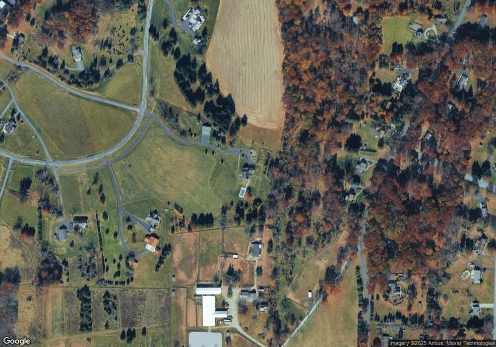
Map
Nearby Homes
- 2 Smoke Run
- 271 County Road 513
- 31 Farmhouse Rd
- 97 Hartpence Rd
- 8 Hemingway Dr
- 1663 County Road 519
- 1491&1493 Cty Rd 519
- 7 Maple Springs Rd
- 710 County Road 513
- 214 Woolf Rd
- 1 Shy Creek Rd
- 634 County Road 579
- 39 Sky Manor Rd
- 6 Wyckoff Dr
- 9 Stires Way
- 152 Hickory Corner Rd
- 82 Hickory Corner Rd
- 92 Country Acres Dr
- 383 Pittstown Rd
- 12 Baker Rd
- 385 Mechlin Corner Rd
- 387 Mechlin Corner Rd
- 381 Mechlin Corner Rd
- 389 Mechlin Corner Rd
- 391 Mechlin Corner Rd
- 382 Mechlin Corner Rd
- 2 Oak Ln
- 386 Mechlin Corner Rd
- 73 Airport Rd
- 393 Mechlin Corner Rd
- 395 Mechlin Corner Rd
- 1 Oak Ln
- 380 Mechlin Corner Rd
- 392 Mechlin Corner Rd
- 65 Airport Rd
- 376 Mechlin Corner Rd
- 394 Mechlin Corner Rd
- 9 Airport Rd
- 3 Airport Rd
- 74 Airport Rd