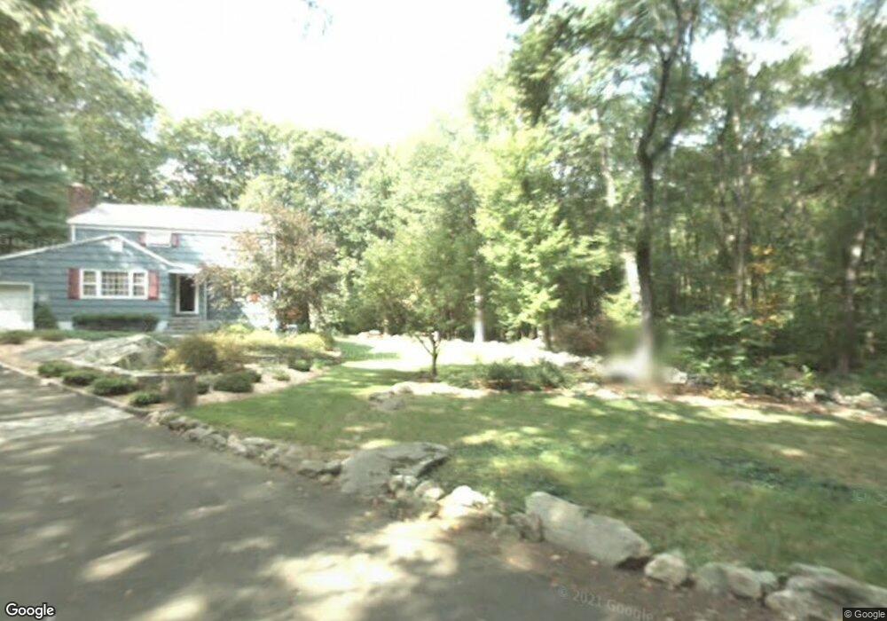
69 Apple Tree Ln Stamford, CT 06905
Turn of the River-Newfield NeighborhoodEstimated Value: $730,000 - $883,000
3
Beds
2
Baths
1,688
Sq Ft
$476/Sq Ft
Est. Value
About This Home
This home is located at 69 Apple Tree Ln, Stamford, CT 06905 and is currently estimated at $803,118, approximately $475 per square foot. 69 Apple Tree Ln is a home located in Fairfield County with nearby schools including Davenport Ridge Elementary School, Rippowam Middle School, and Stamford High School.
Ownership History
Date
Name
Owned For
Owner Type
Purchase Details
Closed on
Dec 9, 1998
Sold by
Lane Albert F
Bought by
Stitt Miles J and Stitt Paola
Current Estimated Value
Home Financials for this Owner
Home Financials are based on the most recent Mortgage that was taken out on this home.
Original Mortgage
$260,000
Interest Rate
6.25%
Create a Home Valuation Report for This Property
The Home Valuation Report is an in-depth analysis detailing your home's value as well as a comparison with similar homes in the area
Home Values in the Area
Average Home Value in this Area
Purchase History
| Date | Buyer | Sale Price | Title Company |
|---|---|---|---|
| Stitt Miles J | $325,000 | -- |
Source: Public Records
Mortgage History
| Date | Status | Borrower | Loan Amount |
|---|---|---|---|
| Closed | Stitt Miles J | $162,000 | |
| Closed | Stitt Miles J | $200,000 | |
| Closed | Stitt Miles J | $260,000 |
Source: Public Records
Tax History Compared to Growth
Tax History
| Year | Tax Paid | Tax Assessment Tax Assessment Total Assessment is a certain percentage of the fair market value that is determined by local assessors to be the total taxable value of land and additions on the property. | Land | Improvement |
|---|---|---|---|---|
| 2025 | $10,356 | $437,700 | $252,620 | $185,080 |
| 2024 | $10,128 | $437,700 | $252,620 | $185,080 |
| 2023 | $10,881 | $437,700 | $252,620 | $185,080 |
| 2022 | $9,217 | $344,700 | $187,360 | $157,340 |
| 2021 | $9,117 | $344,700 | $187,360 | $157,340 |
| 2020 | $8,883 | $344,700 | $187,360 | $157,340 |
| 2019 | $8,883 | $344,700 | $187,360 | $157,340 |
| 2018 | $8,555 | $344,700 | $187,360 | $157,340 |
| 2017 | $8,291 | $318,890 | $172,340 | $146,550 |
| 2016 | $8,058 | $318,890 | $172,340 | $146,550 |
| 2015 | $7,848 | $318,890 | $172,340 | $146,550 |
| 2014 | $7,586 | $318,890 | $172,340 | $146,550 |
Source: Public Records
Map
Nearby Homes
- 38 Lancaster Place
- 20 Wild Horse Rd
- 56 Bradley Place
- 226 Cedar Heights Rd
- 181 Crystal Lake Rd
- 160 Wire Mill Rd
- 28 Winter St
- 11 Bel Aire Dr
- 27 Emma Rd
- 14 Barmore Dr
- 7 the Reserve at Sterling Ridge
- 400 Wire Mill Rd
- 113 Wood Ridge Dr
- 157 Woodridge Dr S
- 500 High Ridge Rd
- 51 Northwood Ln
- 31 Rosano Rd
- 1 Robinson Dr
- 20 Walnut Ridge Ln
- 81 Woodridge Dr S
- 74 Apple Tree Ln
- 85 Apple Tree Ln
- 59 Lancer Ln
- 82 Lancer Ln
- 60 Apple Tree Ln
- 62 Lancer Ln
- 50 Apple Tree Ln
- 51 Lancer Ln
- 69A Apple Tree Ln
- 58 Apple Tree Ln
- 105 Shadow Ridge Rd
- 56 Lancer Ln
- 115 Shadow Ridge Rd
- 66 Lancer Ln
- 23 Apple Tree Ln
- 43 Lancer Ln
- 121 Shadow Ridge Rd
- 48 Lancer Ln
- 52 Apple Tree Ln
- 97 Shadow Ridge Rd