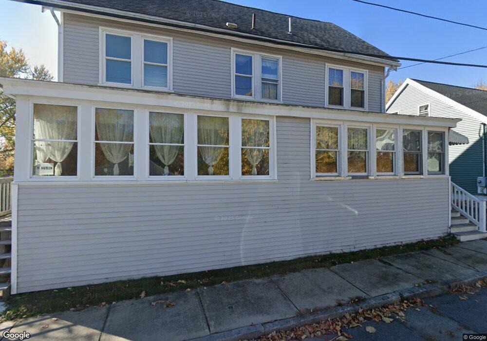
69 Aubin St Amesbury, MA 01913
Estimated Value: $558,712 - $644,000
4
Beds
2
Baths
1,402
Sq Ft
$426/Sq Ft
Est. Value
About This Home
This home is located at 69 Aubin St, Amesbury, MA 01913 and is currently estimated at $597,678, approximately $426 per square foot. 69 Aubin St is a home located in Essex County with nearby schools including Amesbury High School and Amesbury Seventh-Day Adventist School.
Create a Home Valuation Report for This Property
The Home Valuation Report is an in-depth analysis detailing your home's value as well as a comparison with similar homes in the area
Home Values in the Area
Average Home Value in this Area
Tax History
| Year | Tax Paid | Tax Assessment Tax Assessment Total Assessment is a certain percentage of the fair market value that is determined by local assessors to be the total taxable value of land and additions on the property. | Land | Improvement |
|---|---|---|---|---|
| 2025 | $6,890 | $450,300 | $179,600 | $270,700 |
| 2024 | $6,494 | $415,200 | $169,400 | $245,800 |
| 2023 | $6,423 | $393,100 | $147,300 | $245,800 |
| 2022 | $5,820 | $329,000 | $128,100 | $200,900 |
| 2021 | $5,685 | $311,500 | $99,000 | $212,500 |
| 2020 | $5,008 | $291,500 | $95,100 | $196,400 |
| 2019 | $4,973 | $270,700 | $95,100 | $175,600 |
| 2018 | $4,776 | $251,500 | $90,600 | $160,900 |
| 2017 | $4,529 | $227,000 | $90,600 | $136,400 |
| 2016 | $4,480 | $220,900 | $90,600 | $130,300 |
| 2015 | $4,385 | $213,500 | $90,600 | $122,900 |
| 2014 | $4,196 | $200,100 | $90,600 | $109,500 |
Source: Public Records
Map
Nearby Homes
- 21 River St
- 4 Greenwood St
- 4 Clark St
- 97 Elm St
- 1 Hillside Ave Unit 3
- 25 Cedar St Unit 4
- 253 Main St
- 21 Congress St
- 101 Market St Unit B
- 105 Market St Unit B
- 3 Tremont Ave Unit A
- 48 Orchard St
- 5 Russell St Unit 1
- 382 Main St
- 149 Market St
- 7 Hoyt Ave
- 3 Birchwood Point Unit 202
- 47 Cutter Ln Unit 47
- 60 Merrimac St Unit 504
- 82 Monroe St
Your Personal Tour Guide
Ask me questions while you tour the home.