69 Bar Neck Rd Woods Hole, MA 02543
Woods Hole NeighborhoodEstimated Value: $1,633,000 - $4,703,000
3
Beds
4
Baths
2,093
Sq Ft
$1,600/Sq Ft
Est. Value
About This Home
This home is located at 69 Bar Neck Rd, Woods Hole, MA 02543 and is currently estimated at $3,348,088, approximately $1,599 per square foot. 69 Bar Neck Rd is a home located in Barnstable County with nearby schools including Mullen-Hall School, Lawrence School, and Morse Pond School.
Ownership History
Date
Name
Owned For
Owner Type
Purchase Details
Closed on
Aug 7, 2020
Sold by
Jewett Rt and Hlavka
Bought by
Dogwood Rt and Hlavka
Current Estimated Value
Purchase Details
Closed on
Jun 22, 2010
Sold by
Bronson Peter G and Bronson-Key Amy
Bought by
Greer Margaret Jewett and Snyder Jennifer C
Create a Home Valuation Report for This Property
The Home Valuation Report is an in-depth analysis detailing your home's value as well as a comparison with similar homes in the area
Home Values in the Area
Average Home Value in this Area
Purchase History
| Date | Buyer | Sale Price | Title Company |
|---|---|---|---|
| Dogwood Rt | -- | None Available | |
| Greer Margaret Jewett | $2,490,000 | -- | |
| Greer Margaret Jewett | $2,490,000 | -- |
Source: Public Records
Tax History Compared to Growth
Tax History
| Year | Tax Paid | Tax Assessment Tax Assessment Total Assessment is a certain percentage of the fair market value that is determined by local assessors to be the total taxable value of land and additions on the property. | Land | Improvement |
|---|---|---|---|---|
| 2025 | $24,217 | $4,125,600 | $3,043,200 | $1,082,400 |
| 2024 | $22,964 | $3,656,700 | $2,656,800 | $999,900 |
| 2023 | $23,784 | $3,437,000 | $2,656,800 | $780,200 |
| 2022 | $25,277 | $3,140,000 | $2,492,900 | $647,100 |
| 2021 | $25,333 | $2,980,300 | $2,384,500 | $595,800 |
| 2020 | $23,738 | $2,763,500 | $2,167,700 | $595,800 |
| 2019 | $23,596 | $2,756,500 | $2,167,700 | $588,800 |
| 2018 | $23,094 | $2,671,700 | $2,167,700 | $504,000 |
| 2017 | $22,703 | $2,661,500 | $2,167,700 | $493,800 |
| 2016 | $21,071 | $2,517,500 | $2,167,700 | $349,800 |
| 2015 | $20,602 | $2,515,500 | $2,167,700 | $347,800 |
| 2014 | $19,528 | $2,396,100 | $2,159,800 | $236,300 |
Source: Public Records
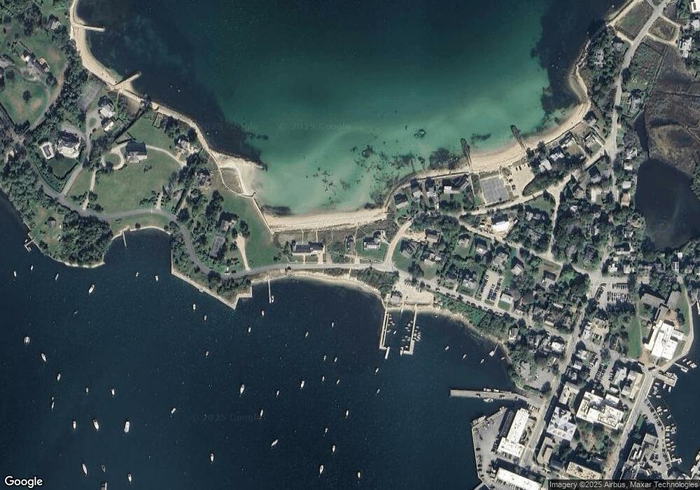
Map
Nearby Homes
- 5 Park Rd
- 10 Quissett Ave
- 14 School St
- 54 Whitman Rd
- 82 Harbor Hill Rd
- 533 Woods Hole Rd Unit B101
- 533 Woods Hole Rd Unit D101
- 533 Woods Hole Rd Unit B102
- 533 Woods Hole Rd Unit E202
- 533 Woods Hole Rd Unit E301
- 9 Strawberry Hill Rd
- 9 Strawberry Hill Rd
- 29 Wilson Rd
- 76 F r Lillie Rd
- 44 Carey Ln
- 251 Woods Hole Rd
- 87 Oyster Pond Rd
- 38 Landfall Unit 38
- 38 Landfall
- 65 Bar Neck Rd
- 77 Bar Neck Rd
- 59 Bar Neck Rd
- 8 Gosnold Rd
- 58 Bar Neck Rd
- 53 Bar Neck Rd
- 17 Gosnold Rd
- 10 Gosnold Rd
- 16 Gosnold Rd
- 47 Bar Neck Rd
- 28 Spencer Baird Rd
- 20 Gosnold Rd
- 39 Bar Neck Rd
- 9 Penzance Rd
- 24 Gosnold Rd
- 24 Spencer Baird Rd
- 18 Spencer Baird Rd
- 33 Bar Neck Rd
- 23 Spencer Baird Rd
- 23 Spencer Baird Rd