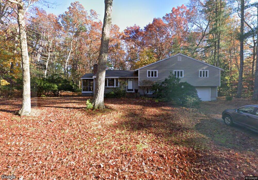
69 Barton Dr Sudbury, MA 01776
Estimated Value: $862,000 - $998,000
3
Beds
3
Baths
2,008
Sq Ft
$463/Sq Ft
Est. Value
About This Home
This home is located at 69 Barton Dr, Sudbury, MA 01776 and is currently estimated at $930,547, approximately $463 per square foot. 69 Barton Dr is a home located in Middlesex County with nearby schools including Peter Noyes Elementary School, Ephraim Curtis Middle School, and Lincoln-Sudbury Regional High School.
Ownership History
Date
Name
Owned For
Owner Type
Purchase Details
Closed on
Aug 8, 2017
Sold by
Mlawer Eli J and Sharon Jill S
Bought by
Mlawer Sharon Ft
Current Estimated Value
Purchase Details
Closed on
Jul 21, 1995
Sold by
Schwartz Cynthia A
Bought by
Mlawer Eli J and Sharon Jill
Home Financials for this Owner
Home Financials are based on the most recent Mortgage that was taken out on this home.
Original Mortgage
$197,600
Interest Rate
7.49%
Mortgage Type
Purchase Money Mortgage
Create a Home Valuation Report for This Property
The Home Valuation Report is an in-depth analysis detailing your home's value as well as a comparison with similar homes in the area
Home Values in the Area
Average Home Value in this Area
Purchase History
| Date | Buyer | Sale Price | Title Company |
|---|---|---|---|
| Mlawer Sharon Ft | -- | -- | |
| Mlawer Eli J | $247,000 | -- |
Source: Public Records
Mortgage History
| Date | Status | Borrower | Loan Amount |
|---|---|---|---|
| Previous Owner | Mlawer Eli J | $165,000 | |
| Previous Owner | Mlawer Eli J | $20,000 | |
| Previous Owner | Mlawer Eli J | $197,600 |
Source: Public Records
Tax History
| Year | Tax Paid | Tax Assessment Tax Assessment Total Assessment is a certain percentage of the fair market value that is determined by local assessors to be the total taxable value of land and additions on the property. | Land | Improvement |
|---|---|---|---|---|
| 2025 | $12,141 | $829,300 | $420,800 | $408,500 |
| 2024 | $11,735 | $803,200 | $408,500 | $394,700 |
| 2023 | $11,668 | $739,900 | $378,200 | $361,700 |
| 2022 | $10,761 | $596,200 | $347,200 | $249,000 |
| 2021 | $10,291 | $546,500 | $347,200 | $199,300 |
| 2020 | $10,083 | $546,500 | $347,200 | $199,300 |
| 2019 | $9,788 | $546,500 | $347,200 | $199,300 |
| 2018 | $9,628 | $537,000 | $370,200 | $166,800 |
| 2017 | $9,001 | $507,400 | $352,100 | $155,300 |
| 2016 | $8,629 | $484,800 | $338,700 | $146,100 |
| 2015 | $8,112 | $460,900 | $325,700 | $135,200 |
| 2014 | $8,072 | $447,700 | $316,100 | $131,600 |
Source: Public Records
Map
Nearby Homes
- 53 Pine St
- 25 Poplar St
- 557 Dutton Rd Unit 2
- 59 Tanbark Rd
- 30 Kendall Rd
- 11 Great Lake Dr
- 30 Harness Ln
- 6 Colburn Cir
- 11 October Rd
- 62 Churchill St
- 45 Webster Cir
- 22 Barracks Rd Unit 22
- 15 Barracks Rd Unit 15
- 30 Rolling Ln
- 69 Robbins Rd
- 0 Robbins Rd
- 15 Huckleberry Ln
- 8 Twillingate Rd
- 355 Maynard Rd
- 0 Boston Post Rd
Your Personal Tour Guide
Ask me questions while you tour the home.