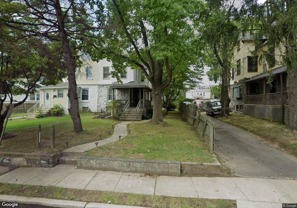
69 Bartram Ave Lansdowne, PA 19050
Estimated Value: $249,000 - $361,000
5
Beds
3
Baths
2,098
Sq Ft
$145/Sq Ft
Est. Value
About This Home
This home is located at 69 Bartram Ave, Lansdowne, PA 19050 and is currently estimated at $303,364, approximately $144 per square foot. 69 Bartram Ave is a home located in Delaware County with nearby schools including Ardmore Avenue School, Penn Wood Middle School, and Penn Wood High School - Cypress Street Campus.
Ownership History
Date
Name
Owned For
Owner Type
Purchase Details
Closed on
Apr 18, 2014
Sold by
Cephas Jeffery
Bought by
Cephas Angela
Current Estimated Value
Purchase Details
Closed on
Jul 26, 2007
Sold by
Francis Dwight and Francis Natasha
Bought by
Cephas Angela and Cephas Jeffrey
Home Financials for this Owner
Home Financials are based on the most recent Mortgage that was taken out on this home.
Original Mortgage
$178,489
Outstanding Balance
$113,701
Interest Rate
6.78%
Mortgage Type
FHA
Estimated Equity
$189,663
Purchase Details
Closed on
Aug 12, 2004
Sold by
Us Bank Na
Bought by
Francis Dwight and Francis Natasha
Purchase Details
Closed on
Apr 22, 2004
Sold by
Williams Elizabeth B
Bought by
Us Bank Na and Eqcc Home Equity Loan Trust 1998-4
Purchase Details
Closed on
Nov 8, 1995
Sold by
Williams Elizabeth B and Bedford Richard L
Bought by
Williams Elizabeth B
Create a Home Valuation Report for This Property
The Home Valuation Report is an in-depth analysis detailing your home's value as well as a comparison with similar homes in the area
Home Values in the Area
Average Home Value in this Area
Purchase History
| Date | Buyer | Sale Price | Title Company |
|---|---|---|---|
| Cephas Angela | -- | None Available | |
| Cephas Angela | $179,900 | None Available | |
| Francis Dwight | $46,000 | -- | |
| Us Bank Na | $55,000 | -- | |
| Williams Elizabeth B | -- | -- |
Source: Public Records
Mortgage History
| Date | Status | Borrower | Loan Amount |
|---|---|---|---|
| Open | Cephas Angela | $178,489 |
Source: Public Records
Tax History Compared to Growth
Tax History
| Year | Tax Paid | Tax Assessment Tax Assessment Total Assessment is a certain percentage of the fair market value that is determined by local assessors to be the total taxable value of land and additions on the property. | Land | Improvement |
|---|---|---|---|---|
| 2025 | $6,324 | $153,590 | $36,560 | $117,030 |
| 2024 | $6,324 | $153,590 | $36,560 | $117,030 |
| 2023 | $6,029 | $153,590 | $36,560 | $117,030 |
| 2022 | $5,911 | $153,590 | $36,560 | $117,030 |
| 2021 | $8,876 | $153,590 | $36,560 | $117,030 |
| 2020 | $4,230 | $64,500 | $23,930 | $40,570 |
| 2019 | $4,159 | $64,500 | $23,930 | $40,570 |
| 2018 | $4,088 | $64,500 | $0 | $0 |
| 2017 | $3,998 | $64,500 | $0 | $0 |
| 2016 | $354 | $64,500 | $0 | $0 |
| 2015 | $354 | $64,500 | $0 | $0 |
| 2014 | $354 | $64,500 | $0 | $0 |
Source: Public Records
Map
Nearby Homes
- 144 Fairview Ave
- 46 S Maple Ave
- 49 Elberon Ave
- 192 Fairview Ave
- 103 Lincoln Ave
- 408 S Union Ave
- 137 Elder Ave
- 201 Elder Ave
- 32 N Wycombe Ave
- 30 E Providence Rd
- 32 Elder Ave
- 37 E Stratford Ave
- 80 W Baltimore Ave Unit B510
- 75 E Stewart Ave
- 14 W Providence Rd
- 38 W Stratford Ave
- 29 W Stratford Ave
- 603 Penn St
- 230 Wynnewood Ave
- 530 Orchard Ave