69 Baxter Rd Brookline, MA 02445
Chestnut Hill NeighborhoodEstimated Value: $3,101,000 - $4,108,000
4
Beds
4
Baths
3,240
Sq Ft
$1,125/Sq Ft
Est. Value
About This Home
This home is located at 69 Baxter Rd, Brookline, MA 02445 and is currently estimated at $3,644,035, approximately $1,124 per square foot. 69 Baxter Rd is a home located in Norfolk County with nearby schools including John D. Runkle School, Brookline High School, and Brimmer & May School.
Ownership History
Date
Name
Owned For
Owner Type
Purchase Details
Closed on
Apr 29, 1980
Bought by
Snider Susan G
Current Estimated Value
Create a Home Valuation Report for This Property
The Home Valuation Report is an in-depth analysis detailing your home's value as well as a comparison with similar homes in the area
Home Values in the Area
Average Home Value in this Area
Purchase History
| Date | Buyer | Sale Price | Title Company |
|---|---|---|---|
| Snider Susan G | $185,000 | -- |
Source: Public Records
Mortgage History
| Date | Status | Borrower | Loan Amount |
|---|---|---|---|
| Open | Snider Susan G | $100,000 |
Source: Public Records
Tax History
| Year | Tax Paid | Tax Assessment Tax Assessment Total Assessment is a certain percentage of the fair market value that is determined by local assessors to be the total taxable value of land and additions on the property. | Land | Improvement |
|---|---|---|---|---|
| 2025 | $38,682 | $3,919,100 | $2,018,000 | $1,901,100 |
| 2024 | $36,940 | $3,781,000 | $1,940,300 | $1,840,700 |
| 2023 | $31,824 | $3,192,000 | $1,386,300 | $1,805,700 |
| 2022 | $30,978 | $3,040,000 | $1,320,300 | $1,719,700 |
| 2021 | $28,645 | $2,923,000 | $1,269,500 | $1,653,500 |
| 2020 | $26,339 | $2,787,200 | $1,154,100 | $1,633,100 |
| 2019 | $24,872 | $2,654,400 | $1,099,100 | $1,555,300 |
| 2018 | $25,117 | $2,655,100 | $1,108,700 | $1,546,400 |
| 2017 | $24,707 | $2,500,700 | $1,046,100 | $1,454,600 |
| 2016 | $24,353 | $2,337,100 | $977,700 | $1,359,400 |
| 2015 | $23,327 | $2,184,200 | $913,700 | $1,270,500 |
| 2014 | $24,224 | $2,126,800 | $830,600 | $1,296,200 |
Source: Public Records
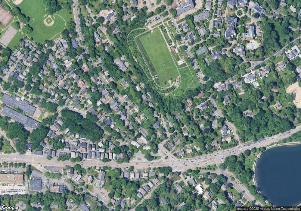
Map
Nearby Homes
- 120 Seaver St Unit C-102
- 88 Cutler Ln
- 43 Druce St
- 39 Clyde St
- 323 Clark Rd
- 130 Cabot St
- 17 Strathmore Rd Unit 2
- 142 Crafts Rd
- 143 Beaconsfield Rd Unit 2
- 2420 Beacon St Unit 401
- 324 Tappan St Unit 1
- 324 Tappan St Unit 2
- 24 Blake Rd
- 3 Englewood Ave Unit 9
- 371 Walnut St
- 1778 Beacon St Unit 302
- 41 Orkney Rd
- 31 Orkney Rd Unit 54
- 1014 Boylston St
- 6 Sutherland Rd Unit 41
- 79 Baxter Rd
- 59 Baxter Rd
- 672 Chestnut Hill Ave
- 662 Chestnut Hill Ave
- 85 Baxter Rd
- 660 Chestnut Hill Ave
- 656 Chestnut Hill Ave
- 51 Baxter Rd
- 90 Baxter Rd
- 654 Chestnut Hill Ave
- 27 Channing Rd
- 650 Chestnut Hill Ave
- 91 Baxter Rd
- 671 Chestnut Hill Ave
- 667 Chestnut Hill Ave
- 663 Chestnut Hill Ave
- 663 Chestnut Hill Ave Unit 663
- 661 Chestnut Hill Ave
- 657 Chestnut Hill Ave
- 653 Chestnut Hill Ave