69 Bayview Rd Wellfleet, MA 02667
Estimated Value: $881,000 - $1,003,000
3
Beds
3
Baths
1,760
Sq Ft
$523/Sq Ft
Est. Value
About This Home
This home is located at 69 Bayview Rd, Wellfleet, MA 02667 and is currently estimated at $920,947, approximately $523 per square foot. 69 Bayview Rd is a home located in Barnstable County with nearby schools including Wellfleet Elementary School, Nauset Regional Middle School, and Nauset Regional High School.
Ownership History
Date
Name
Owned For
Owner Type
Purchase Details
Closed on
Jun 22, 2018
Sold by
Monroe Charles H and Martin Katrina J
Bought by
Khalvati Lila and Brussel Jeffrey K
Current Estimated Value
Home Financials for this Owner
Home Financials are based on the most recent Mortgage that was taken out on this home.
Original Mortgage
$385,000
Outstanding Balance
$332,258
Interest Rate
4.5%
Mortgage Type
New Conventional
Estimated Equity
$588,689
Create a Home Valuation Report for This Property
The Home Valuation Report is an in-depth analysis detailing your home's value as well as a comparison with similar homes in the area
Home Values in the Area
Average Home Value in this Area
Purchase History
| Date | Buyer | Sale Price | Title Company |
|---|---|---|---|
| Khalvati Lila | $505,000 | -- | |
| Khalvati Lila | $505,000 | -- |
Source: Public Records
Mortgage History
| Date | Status | Borrower | Loan Amount |
|---|---|---|---|
| Open | Khalvati Lila | $385,000 | |
| Closed | Khalvati Lila | $385,000 |
Source: Public Records
Tax History
| Year | Tax Paid | Tax Assessment Tax Assessment Total Assessment is a certain percentage of the fair market value that is determined by local assessors to be the total taxable value of land and additions on the property. | Land | Improvement |
|---|---|---|---|---|
| 2025 | $5,644 | $793,800 | $313,000 | $480,800 |
| 2024 | $5,226 | $765,100 | $298,100 | $467,000 |
| 2023 | $4,674 | $671,600 | $252,700 | $418,900 |
| 2022 | $4,067 | $522,800 | $221,600 | $301,200 |
| 2021 | $3,856 | $490,600 | $217,700 | $272,900 |
| 2020 | $3,807 | $491,200 | $229,100 | $262,100 |
| 2019 | $3,567 | $461,400 | $208,300 | $253,100 |
| 2018 | $3,280 | $456,800 | $208,300 | $248,500 |
| 2017 | $3,085 | $455,000 | $208,300 | $246,700 |
| 2016 | $3,098 | $453,600 | $206,200 | $247,400 |
| 2015 | $3,049 | $449,700 | $204,200 | $245,500 |
Source: Public Records
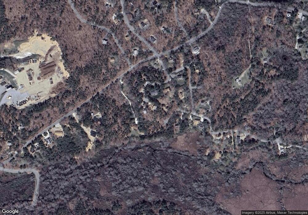
Map
Nearby Homes
- 320 Coles Neck Rd
- 49 Oak Valley Rd
- 37 Oak Valley Rd
- 40 Old Long Pond Rd
- 20 Bank St
- 240 Gross Hill Rd
- 7 Arrowhead Farm Rd
- 35 Holbrook Ave
- 164 Kendrick Ave Unit C
- 30 Harbor View Cir
- 135 Marven Way
- 110 Prince Valley Rd
- 105 Howard Ct
- 345 Cove Rd
- 43 Old County Rd
- 9 Priest Rd
- 30 Sam Hollow Rd
- 45 Indian Neck Rd
- 175 Delphi Path
- 2032 State Hwy Rte 6 Unit F/ (6)
Your Personal Tour Guide
Ask me questions while you tour the home.