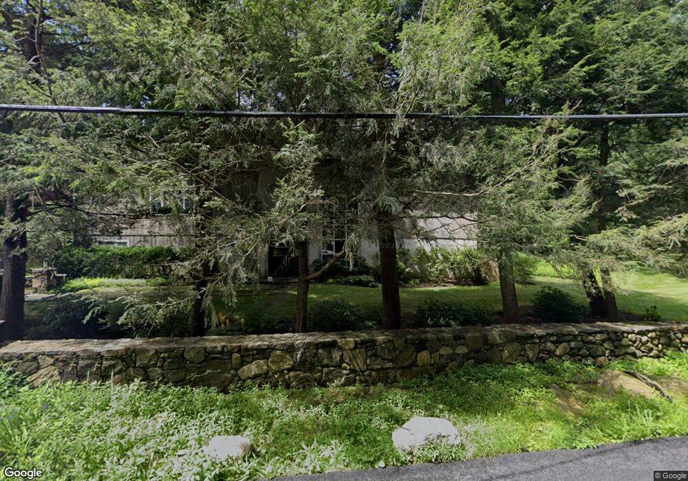
69 Benedict Rd South Salem, NY 10590
Estimated Value: $1,425,000 - $1,652,501
4
Beds
4
Baths
3,352
Sq Ft
$454/Sq Ft
Est. Value
About This Home
This home is located at 69 Benedict Rd, South Salem, NY 10590 and is currently estimated at $1,522,375, approximately $454 per square foot. 69 Benedict Rd is a home located in Westchester County with nearby schools including Increase Miller Elementary School, John Jay Middle School, and John Jay High School.
Ownership History
Date
Name
Owned For
Owner Type
Purchase Details
Closed on
Aug 17, 2002
Sold by
Buzolich Thaddeus M and Strang Sara E
Bought by
Anchin Matthew and Anchin Shauna
Current Estimated Value
Home Financials for this Owner
Home Financials are based on the most recent Mortgage that was taken out on this home.
Original Mortgage
$75,600
Interest Rate
2.37%
Mortgage Type
New Conventional
Purchase Details
Closed on
Aug 7, 2001
Sold by
Smith Faitell Robert Alan and Smith Faitell Lisa
Bought by
Tebbe Greg W and Tebbe Daphne Bien
Create a Home Valuation Report for This Property
The Home Valuation Report is an in-depth analysis detailing your home's value as well as a comparison with similar homes in the area
Home Values in the Area
Average Home Value in this Area
Purchase History
| Date | Buyer | Sale Price | Title Company |
|---|---|---|---|
| Anchin Matthew | $945,000 | None Available | |
| Tebbe Greg W | $1,207,250 | The Judicial Title Ins Agenc |
Source: Public Records
Mortgage History
| Date | Status | Borrower | Loan Amount |
|---|---|---|---|
| Previous Owner | Anchin Matthew | $75,600 |
Source: Public Records
Tax History Compared to Growth
Tax History
| Year | Tax Paid | Tax Assessment Tax Assessment Total Assessment is a certain percentage of the fair market value that is determined by local assessors to be the total taxable value of land and additions on the property. | Land | Improvement |
|---|---|---|---|---|
| 2024 | $28,105 | $93,300 | $18,100 | $75,200 |
| 2023 | $26,546 | $93,300 | $18,100 | $75,200 |
| 2022 | $25,928 | $93,300 | $18,100 | $75,200 |
| 2021 | $25,336 | $93,300 | $18,100 | $75,200 |
| 2020 | $27,215 | $93,300 | $18,100 | $75,200 |
| 2019 | $26,063 | $100,000 | $18,100 | $81,900 |
| 2017 | $0 | $100,000 | $18,100 | $81,900 |
| 2016 | $24,539 | $100,000 | $18,100 | $81,900 |
| 2015 | -- | $100,000 | $18,100 | $81,900 |
Source: Public Records
Map
Nearby Homes
- 39 Knapp Rd
- 31 S Shore Dr
- 38 Gilbert St
- 133 Boway Rd
- 1196 Route 35
- 33 Truesdale Lake Dr
- 69 Mead St
- 134 Spring St
- 9 Ashwood Rd
- 8 Lost Pond Ln
- 20 Boutonville Rd
- 121 Sleepy Hollow Rd
- 550 Barrack Hill Rd
- 4 Lynch Brook Ln
- 45 Pine Hill Dr
- 86 Round Lake Rd
- 415 Barrack Hill Rd
- 0 Walnut Hill Rd
- 71 Peaceable Ridge Rd
- 7 Hilltop Rd
- 0 Oscaleta Rd Unit H6172602
- 0 Oscaleta Rd Unit H6116037
- 0 Oscaleta Rd
- 61 Oscaleta Rd
- 72 Oscaleta Rd
- 55 Oscaleta Rd
- 65 Benedict Rd
- 61 Benedict Rd
- 54 Oscaleta Rd
- 73 Knapp Rd
- 51 Oscaleta Rd
- 79 Knapp Rd
- 74 Oscaleta Rd
- 69 Knapp Rd
- 45 Oscaleta Rd
- 83 Knapp Rd
- 82 Oscaleta Rd
- 59 Benedict Rd
- 58 Benedict Rd
- 65 Knapp Rd