69 Burncoat Ln Leicester, MA 01524
Estimated Value: $422,000 - $500,000
3
Beds
2
Baths
1,200
Sq Ft
$382/Sq Ft
Est. Value
About This Home
This home is located at 69 Burncoat Ln, Leicester, MA 01524 and is currently estimated at $458,255, approximately $381 per square foot. 69 Burncoat Ln is a home located in Worcester County with nearby schools including Leicester Integrated Preschool, Leicester Memorial Elementary School, and Leicester Middle School.
Create a Home Valuation Report for This Property
The Home Valuation Report is an in-depth analysis detailing your home's value as well as a comparison with similar homes in the area
Home Values in the Area
Average Home Value in this Area
Tax History Compared to Growth
Tax History
| Year | Tax Paid | Tax Assessment Tax Assessment Total Assessment is a certain percentage of the fair market value that is determined by local assessors to be the total taxable value of land and additions on the property. | Land | Improvement |
|---|---|---|---|---|
| 2025 | $4,668 | $396,600 | $164,100 | $232,500 |
| 2024 | $4,485 | $357,400 | $149,100 | $208,300 |
| 2023 | $4,343 | $337,700 | $149,100 | $188,600 |
| 2022 | $4,149 | $296,600 | $142,300 | $154,300 |
| 2021 | $4,451 | $294,200 | $142,300 | $151,900 |
| 2020 | $3,568 | $239,300 | $115,300 | $124,000 |
| 2019 | $3,410 | $226,100 | $109,400 | $116,700 |
| 2018 | $3,469 | $215,600 | $109,400 | $106,200 |
| 2017 | $3,337 | $215,600 | $109,400 | $106,200 |
| 2016 | $3,028 | $203,200 | $115,300 | $87,900 |
Source: Public Records
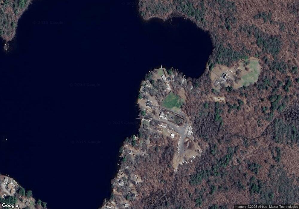
Map
Nearby Homes
- 71 Burncoat Ln
- 71 Burncoat Ln Unit 71
- 67&69 Burncoat Ln
- 73 Burncoat Ln
- 65 Burncoat Ln
- 75 Burncoat Ln
- 79 Burncoat Ln
- 59 Burncoat Ln
- 62 Burncoat Ln
- 81 Burncoat Ln
- 81 Burncoat Ln
- 83 Burncoat Ln
- 57 Burncoat Ln
- 60 Burncoat Ln
- 85 Burncoat Ln
- 84 Burncoat Ln
- 87 Burncoat Ln
- 89 Burncoat Ln
- 53 Burncoat Ln
- 91 Burncoat Ln