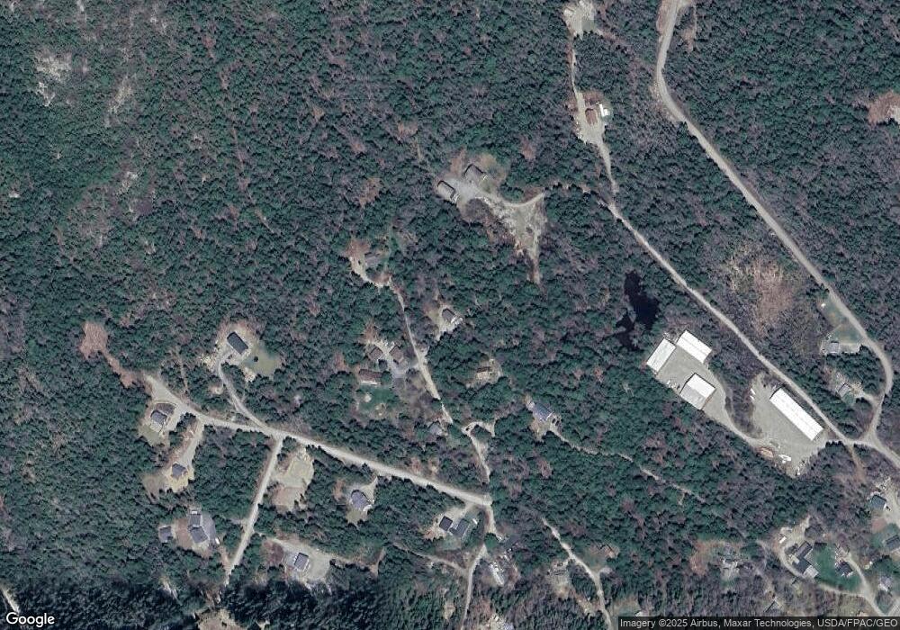
69 Burnt Hill Rd Bass Harbor, ME 04653
Estimated Value: $378,265 - $810,000
--
Bed
--
Bath
--
Sq Ft
1.6
Acres
About This Home
This home is located at 69 Burnt Hill Rd, Bass Harbor, ME 04653 and is currently estimated at $573,566. 69 Burnt Hill Rd is a home with nearby schools including Tremont Consolidated School and Mt. Desert Island High School.
Ownership History
Date
Name
Owned For
Owner Type
Purchase Details
Closed on
Oct 29, 2024
Sold by
Williams April D
Bought by
Bearcat 316 Llc
Current Estimated Value
Purchase Details
Closed on
Jul 23, 2024
Sold by
Williams John C
Bought by
Williams April D
Purchase Details
Closed on
Oct 21, 2022
Sold by
Kollett Jane K Est and Alexander
Bought by
Williams John C and Williams April D
Home Financials for this Owner
Home Financials are based on the most recent Mortgage that was taken out on this home.
Original Mortgage
$290,400
Interest Rate
6.02%
Mortgage Type
New Conventional
Create a Home Valuation Report for This Property
The Home Valuation Report is an in-depth analysis detailing your home's value as well as a comparison with similar homes in the area
Home Values in the Area
Average Home Value in this Area
Purchase History
| Date | Buyer | Sale Price | Title Company |
|---|---|---|---|
| Bearcat 316 Llc | -- | None Available | |
| Bearcat 316 Llc | -- | None Available | |
| Williams April D | -- | None Available | |
| Williams April D | -- | None Available | |
| Williams John C | -- | None Available | |
| Williams John C | -- | None Available | |
| Williams John C | -- | None Available |
Source: Public Records
Mortgage History
| Date | Status | Borrower | Loan Amount |
|---|---|---|---|
| Previous Owner | Williams John C | $290,400 |
Source: Public Records
Tax History Compared to Growth
Tax History
| Year | Tax Paid | Tax Assessment Tax Assessment Total Assessment is a certain percentage of the fair market value that is determined by local assessors to be the total taxable value of land and additions on the property. | Land | Improvement |
|---|---|---|---|---|
| 2024 | $3,275 | $354,000 | $141,500 | $212,500 |
| 2023 | $2,577 | $201,000 | $82,100 | $118,900 |
| 2022 | $2,361 | $202,800 | $82,100 | $120,700 |
| 2021 | $2,261 | $202,800 | $82,100 | $120,700 |
| 2020 | $2,168 | $202,800 | $82,100 | $120,700 |
| 2019 | $2,103 | $202,800 | $82,100 | $120,700 |
| 2018 | $2,098 | $202,300 | $82,100 | $120,200 |
| 2017 | $2,003 | $202,300 | $82,100 | $120,200 |
| 2016 | $1,922 | $202,300 | $82,100 | $120,200 |
| 2015 | $1,902 | $202,300 | $82,100 | $120,200 |
| 2014 | $1,869 | $211,400 | $91,200 | $120,200 |
| 2013 | $1,850 | $211,400 | $91,200 | $120,200 |
Source: Public Records
Map
Nearby Homes
- 28 Mount Gilboa Way
- 23 Mount Gilboa Way
- 146 Tremont Rd
- 508 Tremont Rd
- 177 Richtown Rd
- 17 Bayberry Ln
- 100 Bass Harbor Rd
- 102 Bernard Rd
- 113 Bass Harbor Rd
- 139 Harbor Dr
- 26 Clark Point Rd
- 30 Leighton Rd
- 48 Kelleytown Rd
- 290 Clark Point Rd
- 109 Freeman Ridge Rd
- 10 Robinson Ln Unit 18
- 471 Main St
- 142 Seal Cove Rd
- 792 Tremont Rd
- 000
- 70 Burnt Hill Rd
- 70 Burnt Hill Rd
- 0 Burnt Hill Rd
- 2 Mount Gilboa Way
- 79 Burnt Hill Rd
- 43 Burnt Hill Rd
- 27 Burnt Hill Rd
- 39 Burnt Hill Rd
- 59 Orchard Ln
- 24 Ledges Rd
- 22 Cousins Creek Rd
- 0 Ledges Rd
- 24 Ledge Way
- 55 Burnt Hill Rd
- 3 Mt Gilboa Way
- 33 Mt Gilboa Way
- 0 Cousins Creek Rd
- 6 Cousins Creek Rd
- 7 Cousins Creek Rd
- 1 Paradise Ln
