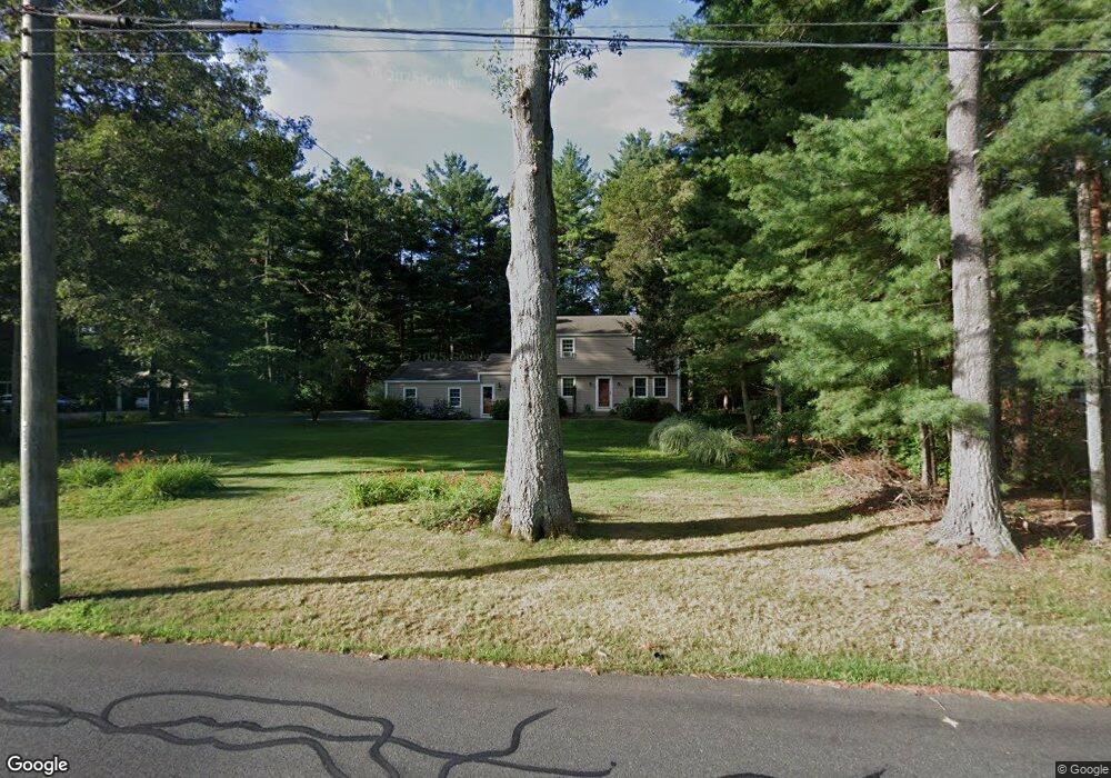
69 Buttles Rd Granby, CT 06035
Estimated Value: $464,012 - $514,000
4
Beds
2
Baths
1,982
Sq Ft
$250/Sq Ft
Est. Value
About This Home
This home is located at 69 Buttles Rd, Granby, CT 06035 and is currently estimated at $494,753, approximately $249 per square foot. 69 Buttles Rd is a home located in Hartford County with nearby schools including Kelly Lane Primary School, Granby Memorial Middle School, and Granby Memorial High School.
Ownership History
Date
Name
Owned For
Owner Type
Purchase Details
Closed on
May 12, 1994
Sold by
Moran Kevin and Moran Judy
Bought by
Lukowski William and Kane Kathleen
Current Estimated Value
Home Financials for this Owner
Home Financials are based on the most recent Mortgage that was taken out on this home.
Original Mortgage
$153,900
Interest Rate
7.93%
Mortgage Type
Unknown
Purchase Details
Closed on
Aug 29, 1988
Sold by
Sanders Douglas
Bought by
Moran Kevin
Create a Home Valuation Report for This Property
The Home Valuation Report is an in-depth analysis detailing your home's value as well as a comparison with similar homes in the area
Home Values in the Area
Average Home Value in this Area
Purchase History
| Date | Buyer | Sale Price | Title Company |
|---|---|---|---|
| Lukowski William | $171,000 | -- | |
| Lukowski William | $171,000 | -- | |
| Moran Kevin | $225,000 | -- |
Source: Public Records
Mortgage History
| Date | Status | Borrower | Loan Amount |
|---|---|---|---|
| Open | Moran Kevin | $100,000 | |
| Closed | Moran Kevin | $153,000 | |
| Closed | Moran Kevin | $153,900 |
Source: Public Records
Tax History Compared to Growth
Tax History
| Year | Tax Paid | Tax Assessment Tax Assessment Total Assessment is a certain percentage of the fair market value that is determined by local assessors to be the total taxable value of land and additions on the property. | Land | Improvement |
|---|---|---|---|---|
| 2025 | $8,192 | $239,470 | $48,370 | $191,100 |
| 2024 | $7,934 | $239,470 | $48,370 | $191,100 |
| 2023 | $7,637 | $239,470 | $48,370 | $191,100 |
| 2022 | $6,843 | $171,150 | $41,790 | $129,360 |
| 2021 | $6,779 | $171,150 | $41,790 | $129,360 |
| 2020 | $6,779 | $171,150 | $41,790 | $129,360 |
| 2019 | $6,779 | $171,150 | $41,790 | $129,360 |
| 2018 | $6,622 | $171,150 | $41,790 | $129,360 |
| 2017 | $6,308 | $166,250 | $41,790 | $124,460 |
| 2016 | $6,141 | $166,250 | $41,790 | $124,460 |
| 2015 | $6,022 | $166,250 | $41,790 | $124,460 |
| 2014 | $5,905 | $166,250 | $41,790 | $124,460 |
Source: Public Records
Map
Nearby Homes
- 27 Brettonwood Dr Unit 27
- 14 Brettonwood Dr
- 7 Knollwood Cir
- 16 Berkshire Way
- 21 Berkshire Way
- 51 Canton Rd
- 14 Gordon St
- 16 Whytewood Ln
- 31 Hunt Glen Dr
- 12 Gretel Ln
- 77 Hunt Glen Dr
- 324 Firetown Rd
- 45 Hoskins Rd
- 7R Stonewall Dr
- 5 Anja Dr
- 26 Winterset Ln
- 11 Mallard Cir
- 2 Quail Dr Unit 2
- 19 Simsbury Landing
- 14 Teal Cir Unit 14