69 Carlisle Rd Buzzards Bay, MA 02532
Estimated Value: $609,000 - $727,000
2
Beds
2
Baths
1,472
Sq Ft
$453/Sq Ft
Est. Value
About This Home
This home is located at 69 Carlisle Rd, Buzzards Bay, MA 02532 and is currently estimated at $667,351, approximately $453 per square foot. 69 Carlisle Rd is a home located in Barnstable County with nearby schools including Bourne High School, St Margaret Regional School, and Cadence Academy Preschool - Bourne.
Ownership History
Date
Name
Owned For
Owner Type
Purchase Details
Closed on
Jun 1, 2021
Sold by
Gale Toombs C and Gale Toombs R
Bought by
Toombs R Gale
Current Estimated Value
Purchase Details
Closed on
Dec 23, 1992
Sold by
Carmody William F and Carmody Barbara A
Bought by
Toombs C Milan and Gale Toombs R
Create a Home Valuation Report for This Property
The Home Valuation Report is an in-depth analysis detailing your home's value as well as a comparison with similar homes in the area
Purchase History
| Date | Buyer | Sale Price | Title Company |
|---|---|---|---|
| Toombs R Gale | -- | None Available | |
| Toombs R Gale | -- | None Available | |
| Toombs C Milan | $139,900 | -- | |
| Gale Toombs C | $139,900 | -- |
Source: Public Records
Mortgage History
| Date | Status | Borrower | Loan Amount |
|---|---|---|---|
| Previous Owner | Gale Toombs C | $141,400 | |
| Previous Owner | Gale Toombs C | $33,000 | |
| Previous Owner | Gale Toombs C | $120,000 |
Source: Public Records
Tax History
| Year | Tax Paid | Tax Assessment Tax Assessment Total Assessment is a certain percentage of the fair market value that is determined by local assessors to be the total taxable value of land and additions on the property. | Land | Improvement |
|---|---|---|---|---|
| 2025 | $4,590 | $587,700 | $314,800 | $272,900 |
| 2024 | $4,488 | $559,600 | $299,800 | $259,800 |
| 2023 | $4,363 | $495,200 | $265,300 | $229,900 |
| 2022 | $4,210 | $417,200 | $234,800 | $182,400 |
| 2021 | $4,114 | $382,000 | $213,700 | $168,300 |
| 2020 | $3,916 | $364,600 | $211,600 | $153,000 |
| 2019 | $3,927 | $373,600 | $229,300 | $144,300 |
| 2018 | $3,397 | $322,300 | $184,800 | $137,500 |
| 2017 | $3,230 | $313,600 | $177,500 | $136,100 |
| 2016 | $2,969 | $292,200 | $177,500 | $114,700 |
| 2015 | $2,942 | $292,200 | $177,500 | $114,700 |
Source: Public Records
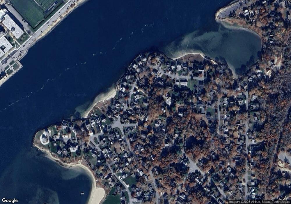
Map
Nearby Homes
- 60 Bourne Neck Dr
- 35 Benedict Rd
- 40-A Lafayette Ave
- 46 Holt Rd Unit B
- 46 Holt Rd
- 5 Zoli Ln
- 4 Van Bummel Rd
- 203 County Rd
- 13 Laurel Hill Ct
- 3 Fairway Dr Unit F
- 44 Cotuit Rd
- 5 Sea Knoll Ct
- 60 Sandwich Rd
- 38 Old Bridge Rd
- 3 Honora Ln Unit 3
- 6 Honora Ct
- 12 Turnberry Rd Unit 12
- 36B Starboard Dr Unit 36E
- 36B Starboard Dr Unit 36G
- 36B Starboard Dr Unit 36C
- 115 Jefferson Rd
- 121 Jefferson Rd
- 115 Jefferson Rd
- 121 Jefferson Rd
- 36 Lamont Rd
- 40 Lamont Rd
- 125 Jefferson Rd
- 74 Carlisle Rd
- 66 Carlisle Rd
- 95 Jefferson Rd
- 95 Jefferson Rd
- 30 Lamont Rd
- 59 Carlisle Rd
- 62 Carlisle Rd
- 50 Lamont Rd
- 116 Jefferson Rd
- 67 Jefferson Rd
- 24 Lamont Rd
- 67 Jefferson Rd
- 110 Jefferson Rd
Your Personal Tour Guide
Ask me questions while you tour the home.