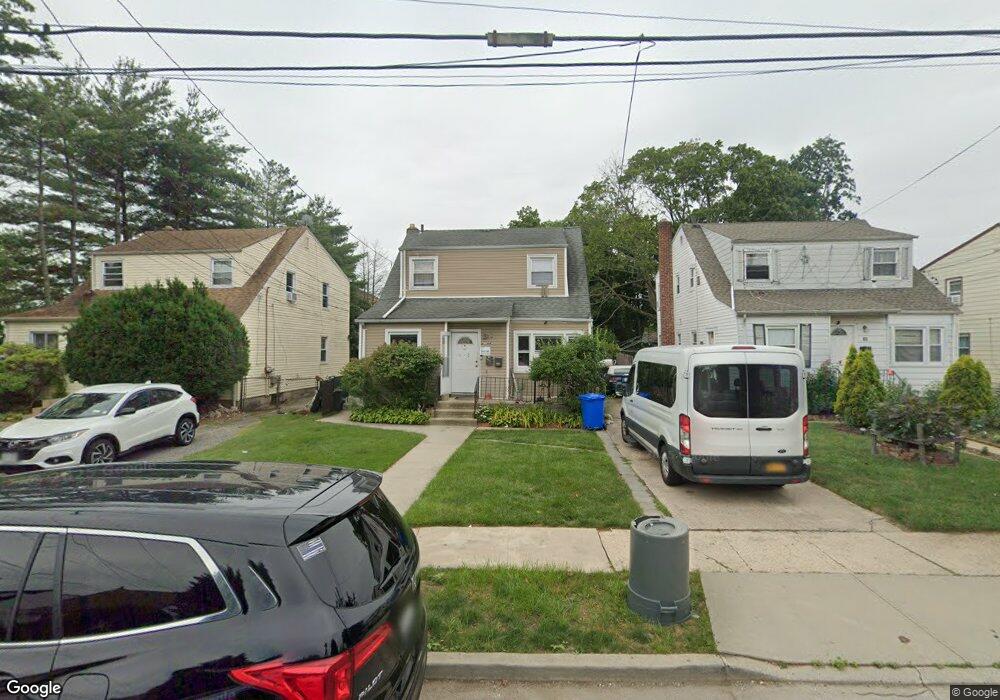
69 Carman St Hempstead, NY 11550
Estimated Value: $661,866 - $705,000
2
Beds
1
Bath
1,520
Sq Ft
$450/Sq Ft
Est. Value
About This Home
This home is located at 69 Carman St, Hempstead, NY 11550 and is currently estimated at $683,433, approximately $449 per square foot. 69 Carman St is a home located in Nassau County with nearby schools including Northern Parkway Elementary School, Lawrence Road Middle School, and Uniondale High School.
Ownership History
Date
Name
Owned For
Owner Type
Purchase Details
Closed on
Feb 14, 2024
Sold by
Timothy Beverly
Bought by
Polidore Deborah
Current Estimated Value
Purchase Details
Closed on
Jul 25, 2008
Sold by
Batal Enterprises Llc
Bought by
Timothy Beverly
Purchase Details
Closed on
Oct 15, 2007
Sold by
Timothy Beverly
Purchase Details
Closed on
Sep 25, 2006
Sold by
Bagley Eugene
Bought by
Timothy Beverly
Purchase Details
Closed on
Nov 10, 2004
Sold by
Rogers David
Bought by
Bagley Eugene
Purchase Details
Closed on
Apr 21, 2000
Sold by
Giblin John E
Bought by
Rogers David W
Create a Home Valuation Report for This Property
The Home Valuation Report is an in-depth analysis detailing your home's value as well as a comparison with similar homes in the area
Home Values in the Area
Average Home Value in this Area
Purchase History
| Date | Buyer | Sale Price | Title Company |
|---|---|---|---|
| Polidore Deborah | $275,000 | National Granite Ttl Ins Agc | |
| Polidore Deborah | $275,000 | National Granite Ttl Ins Agc | |
| Timothy Beverly | -- | First American Title | |
| Timothy Beverly | -- | First American Title | |
| Timothy Beverly | -- | First American Title | |
| -- | -- | -- | |
| -- | -- | -- | |
| Timothy Beverly | $434,600 | -- | |
| Timothy Beverly | $434,600 | -- | |
| Bagley Eugene | $345,000 | -- | |
| Bagley Eugene | $345,000 | -- | |
| Rogers David W | $172,000 | Russell Burcheri | |
| Rogers David W | $172,000 | Russell Burcheri |
Source: Public Records
Tax History
| Year | Tax Paid | Tax Assessment Tax Assessment Total Assessment is a certain percentage of the fair market value that is determined by local assessors to be the total taxable value of land and additions on the property. | Land | Improvement |
|---|---|---|---|---|
| 2025 | $6,822 | $392 | $139 | $253 |
| 2024 | $1,027 | $392 | $139 | $253 |
Source: Public Records
Map
Nearby Homes
- 355 Jerusalem Ave
- 183 Perry St
- 63 Elmwood Ave
- 203 Rutland Rd
- 178 Rutland Rd
- 602 Leonard Ave
- 41 Perry St
- 363 Clarendon Rd
- 678 Front St Unit E
- 399 Hawthorne Ave
- 676 Front St Unit F
- 15 Clyde Ave
- 51 Phoenix St
- 664 Clinton Ave
- 244 Brown Ave
- 132 Duncan Rd
- 27 Elizabeth Ct
- 160 Argyle Ave
- 172 Argyle Ave
- 14 Roger St
Your Personal Tour Guide
Ask me questions while you tour the home.