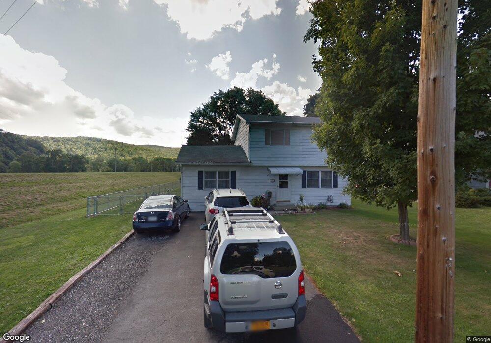
69 Carrollton Ave Elmira, NY 14905
Estimated Value: $183,265 - $211,000
3
Beds
2
Baths
1,512
Sq Ft
$129/Sq Ft
Est. Value
About This Home
This home is located at 69 Carrollton Ave, Elmira, NY 14905 and is currently estimated at $195,316, approximately $129 per square foot. 69 Carrollton Ave is a home located in Chemung County with nearby schools including Diven Elementary School, Hendy Avenue School, and Broadway Academy.
Ownership History
Date
Name
Owned For
Owner Type
Purchase Details
Closed on
Nov 18, 2024
Sold by
Densmore Nancy J
Bought by
Densmore Daryl and Densmore Tracey
Current Estimated Value
Purchase Details
Closed on
Jun 26, 2006
Sold by
Sochacki Theodore J and Sochacki Mary S
Bought by
Densmore Evan C and Densmore Nancy J
Home Financials for this Owner
Home Financials are based on the most recent Mortgage that was taken out on this home.
Original Mortgage
$84,042
Interest Rate
6.59%
Mortgage Type
Purchase Money Mortgage
Create a Home Valuation Report for This Property
The Home Valuation Report is an in-depth analysis detailing your home's value as well as a comparison with similar homes in the area
Home Values in the Area
Average Home Value in this Area
Purchase History
| Date | Buyer | Sale Price | Title Company |
|---|---|---|---|
| Densmore Daryl | -- | None Available | |
| Densmore Evan C | $92,000 | -- | |
| Densmore Evan C | $92,000 | -- |
Source: Public Records
Mortgage History
| Date | Status | Borrower | Loan Amount |
|---|---|---|---|
| Previous Owner | Densmore Evan C | $84,042 |
Source: Public Records
Tax History Compared to Growth
Tax History
| Year | Tax Paid | Tax Assessment Tax Assessment Total Assessment is a certain percentage of the fair market value that is determined by local assessors to be the total taxable value of land and additions on the property. | Land | Improvement |
|---|---|---|---|---|
| 2024 | $3,063 | $116,600 | $21,900 | $94,700 |
| 2023 | $3,208 | $116,600 | $21,900 | $94,700 |
| 2022 | $4,471 | $116,600 | $21,900 | $94,700 |
| 2021 | $3,182 | $116,600 | $21,900 | $94,700 |
| 2020 | $2,987 | $116,600 | $21,900 | $94,700 |
| 2019 | $1,731 | $116,600 | $21,900 | $94,700 |
| 2018 | $2,829 | $116,600 | $21,900 | $94,700 |
| 2017 | $2,818 | $116,600 | $21,900 | $94,700 |
| 2016 | $2,825 | $116,600 | $21,900 | $94,700 |
| 2015 | -- | $116,600 | $21,900 | $94,700 |
| 2014 | -- | $116,600 | $21,900 | $94,700 |
Source: Public Records
Map
Nearby Homes
- 1206 W Water St
- 83 Winsor Cir
- 309 Highland Ave
- 73 Durland Ave
- 103 Durland Ave
- 917 W Gray St
- 905 Mount Zoar Rd
- 1244 W 1st St
- 422-428 Demarest Pkwy
- 818 W Water St
- 903 W 1st St
- 1249 W Clinton St
- 515 Stacia Dr
- 410 Guinnip Ave
- 607 Cornell Rd
- 319 Bonaview Ave
- 503 Edgewood Dr
- 1546 W Church St
- 112 Glen Ave
- 738 W 1st St
- 71 Carrollton Ave
- 75 Carrollton Ave
- 72 Scott Ave
- 74 Scott Ave
- 77 Carrollton Ave
- 76 Scott Ave
- 72 Carrollton Ave
- 76 Carrollton Ave
- 79 Carrollton Ave
- 78 Scott Ave
- 78 Carrollton Ave
- 80 Scott Ave
- 81 Carrollton Ave
- 80 Carrollton Ave
- 82 Scott Ave
- 82 Scott St
- 82 Scott Ave
- 83 Carrollton Ave
- 73 Scott Ave
- 77 Scott Ave