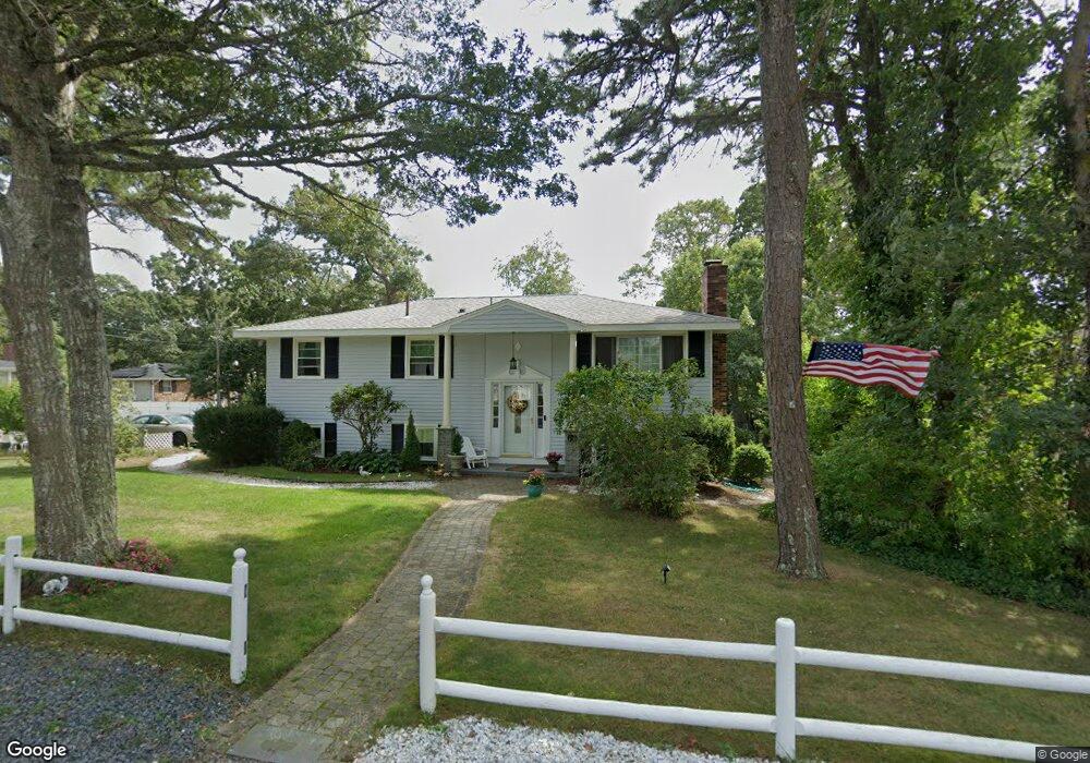
69 Cassidy Ave South Dennis, MA 02660
South Dennis NeighborhoodEstimated Value: $600,000 - $715,000
3
Beds
2
Baths
1,201
Sq Ft
$532/Sq Ft
Est. Value
About This Home
This home is located at 69 Cassidy Ave, South Dennis, MA 02660 and is currently estimated at $639,522, approximately $532 per square foot. 69 Cassidy Ave is a home located in Barnstable County with nearby schools including Dennis-Yarmouth Regional High School and St. Pius X. School.
Ownership History
Date
Name
Owned For
Owner Type
Purchase Details
Closed on
Apr 22, 1996
Sold by
Lafontaine Cassie T
Bought by
Paini Wayne R and Paini Christine M
Current Estimated Value
Create a Home Valuation Report for This Property
The Home Valuation Report is an in-depth analysis detailing your home's value as well as a comparison with similar homes in the area
Home Values in the Area
Average Home Value in this Area
Purchase History
| Date | Buyer | Sale Price | Title Company |
|---|---|---|---|
| Paini Wayne R | $87,000 | -- |
Source: Public Records
Mortgage History
| Date | Status | Borrower | Loan Amount |
|---|---|---|---|
| Open | Paini Wayne R | $145,000 | |
| Closed | Paini Wayne R | $153,000 | |
| Closed | Paini Wayne R | $25,000 |
Source: Public Records
Tax History Compared to Growth
Tax History
| Year | Tax Paid | Tax Assessment Tax Assessment Total Assessment is a certain percentage of the fair market value that is determined by local assessors to be the total taxable value of land and additions on the property. | Land | Improvement |
|---|---|---|---|---|
| 2025 | $2,249 | $519,300 | $131,100 | $388,200 |
| 2024 | $2,155 | $490,900 | $126,100 | $364,800 |
| 2023 | $2,182 | $467,200 | $114,600 | $352,600 |
| 2022 | $1,975 | $352,600 | $114,700 | $237,900 |
| 2021 | $1,824 | $302,500 | $112,500 | $190,000 |
| 2020 | $1,678 | $275,100 | $112,500 | $162,600 |
| 2019 | $1,834 | $297,200 | $121,300 | $175,900 |
| 2018 | $22,558 | $232,200 | $105,000 | $127,200 |
| 2017 | $1,428 | $232,200 | $105,000 | $127,200 |
| 2016 | $1,404 | $215,000 | $110,200 | $104,800 |
| 2015 | $1,376 | $215,000 | $110,200 | $104,800 |
| 2014 | $1,313 | $206,800 | $94,500 | $112,300 |
Source: Public Records
Map
Nearby Homes
- 17 Margate Ln
- 10 Joanne Dr
- 25 Skerry Rd
- 7 Vinland Dr
- 1 Norseman Dr
- 15 Captain Jud Rd
- 17 Fairmount Rd
- 17 Fairmount Rd
- 153 Bayridge Dr
- 6 Hawthorn St
- 4 Ebb Rd
- 62 Old Fish House Rd
- 118 Driftwood Ln
- 129 Driftwood Ln
- 20 Sycamore Ln
- 13 Covey Dr
- 32 Captain Walsh Dr
- 111 Merchant Ave
- 432 Old Chatham Rd Unit 403
- 432 Old Chatham Rd Unit 103
- 61 Cassidy Ave
- 71 Cassidy Ave
- 14 Stewarts Ave
- 68 Cassidy Ave
- 76 Cassidy Ave
- 72 Cassidy Ave
- 57 Cassidy Ave
- 64 Cassidy Ave
- 80 Cassidy Ave
- 12 Stewarts Ave
- 49 Davidson Ave
- 49 Davidson Ave Unit 2
- 62 Davidson Ave
- 25 Stewarts Ave
- 60 Cassidy Ave
- 84 Cassidy Ave
- 43 Kingswear Cir
- 2 Stewarts Ave
- 47 Kingswear Cir
- 37 Kingswear Cir