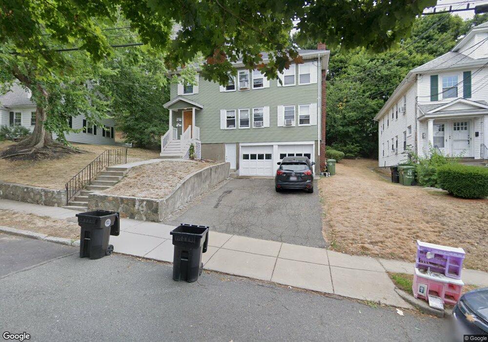
69 Channing Rd Watertown, MA 02472
West Watertown NeighborhoodEstimated Value: $1,129,000 - $1,389,924
4
Beds
3
Baths
2,680
Sq Ft
$460/Sq Ft
Est. Value
About This Home
This home is located at 69 Channing Rd, Watertown, MA 02472 and is currently estimated at $1,231,481, approximately $459 per square foot. 69 Channing Rd is a home located in Middlesex County with nearby schools including The Kendall School and Beacon High School.
Ownership History
Date
Name
Owned For
Owner Type
Purchase Details
Closed on
Mar 18, 2024
Sold by
Robert C Merlesena T C and Robert Merlesena
Bought by
69 Channing Road Llc
Current Estimated Value
Purchase Details
Closed on
Jun 12, 2007
Sold by
Merlesena Robert C
Bought by
Robert C Merlesena T C and Robert Merlesena
Create a Home Valuation Report for This Property
The Home Valuation Report is an in-depth analysis detailing your home's value as well as a comparison with similar homes in the area
Home Values in the Area
Average Home Value in this Area
Purchase History
| Date | Buyer | Sale Price | Title Company |
|---|---|---|---|
| 69 Channing Road Llc | -- | None Available | |
| 69 Channing Road Llc | -- | None Available | |
| Robert C Merlesena T C | -- | -- | |
| Robert C Merlesena T C | -- | -- | |
| Robert C Merlesena T C | -- | -- |
Source: Public Records
Tax History Compared to Growth
Tax History
| Year | Tax Paid | Tax Assessment Tax Assessment Total Assessment is a certain percentage of the fair market value that is determined by local assessors to be the total taxable value of land and additions on the property. | Land | Improvement |
|---|---|---|---|---|
| 2025 | $12,286 | $1,051,900 | $558,900 | $493,000 |
| 2024 | $10,964 | $937,100 | $543,000 | $394,100 |
| 2023 | $12,347 | $909,200 | $519,400 | $389,800 |
| 2022 | $11,464 | $865,200 | $472,200 | $393,000 |
| 2021 | $10,246 | $836,400 | $456,400 | $380,000 |
| 2020 | $9,872 | $813,200 | $440,700 | $372,500 |
| 2019 | $9,673 | $751,000 | $440,700 | $310,300 |
| 2018 | $9,302 | $690,600 | $409,200 | $281,400 |
| 2017 | $8,883 | $639,500 | $358,100 | $281,400 |
| 2016 | $8,479 | $619,800 | $338,400 | $281,400 |
| 2015 | $7,718 | $513,500 | $299,000 | $214,500 |
| 2014 | $7,389 | $493,900 | $279,400 | $214,500 |
Source: Public Records
Map
Nearby Homes
- 91 Standish Rd
- 46 Hall Ave Unit 2
- 47 Fuller Rd Unit 47
- 121 Channing Rd
- 30 Merrill Rd
- 152 Bellevue Rd
- 18 Wilson Ave Unit 2
- 50 York Ave Unit 50
- 52-54 Vincent Ave
- 50 Carroll St Unit 50
- 748 Belmont St
- 532 Belmont St
- 98 Carroll St Unit 98
- 103 Harnden Ave Unit 103
- 456 Belmont St Unit 10
- 2 Bartlett Ave Unit 1
- 125 Trapelo Rd Unit 23
- 125 Trapelo Rd Unit 21
- 6 Hovey St
- 88 Palfrey Rd Unit 88
- 69 Channing Rd Unit 1
- 65 Channing Rd
- 77 Channing Rd
- 61 Channing Rd
- 83 Bradford Rd Unit 1
- 83 Bradford Rd
- 83 Bradford Rd Unit 83
- 79 Bradford Rd Unit 1
- 79 Bradford Rd
- 85 Bradford Rd
- 87 Bradford Rd Unit B
- 87 Bradford Rd Unit A
- 75 Bradford Rd
- 75 Bradford Rd Unit 1
- 75 Bradford Rd
- 75 Bradford Rd Unit 2
- 4 Fairview Ave
- 70 Channing Rd
- 57 Channing Rd
- 57 Channing Rd