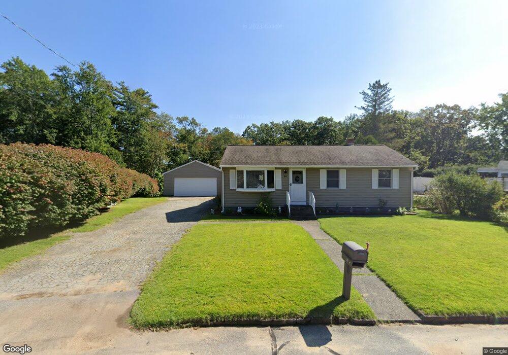
69 Circle Dr Mansfield Center, CT 06250
Estimated Value: $307,000 - $341,598
3
Beds
1
Bath
1,072
Sq Ft
$297/Sq Ft
Est. Value
About This Home
This home is located at 69 Circle Dr, Mansfield Center, CT 06250 and is currently estimated at $318,650, approximately $297 per square foot. 69 Circle Dr is a home located in Tolland County with nearby schools including Mansfield Elementary School, Mansfield Middle School, and E.O. Smith High School.
Ownership History
Date
Name
Owned For
Owner Type
Purchase Details
Closed on
Jul 2, 1987
Sold by
Berger James
Bought by
Tormey Charles
Current Estimated Value
Home Financials for this Owner
Home Financials are based on the most recent Mortgage that was taken out on this home.
Original Mortgage
$75,000
Interest Rate
10.76%
Mortgage Type
Purchase Money Mortgage
Create a Home Valuation Report for This Property
The Home Valuation Report is an in-depth analysis detailing your home's value as well as a comparison with similar homes in the area
Home Values in the Area
Average Home Value in this Area
Purchase History
| Date | Buyer | Sale Price | Title Company |
|---|---|---|---|
| Tormey Charles | $116,000 | -- |
Source: Public Records
Mortgage History
| Date | Status | Borrower | Loan Amount |
|---|---|---|---|
| Closed | Tormey Charles | $75,000 | |
| Closed | Tormey Charles | $75,000 | |
| Closed | Tormey Charles | $75,000 | |
| Closed | Tormey Charles | $75,000 |
Source: Public Records
Tax History
| Year | Tax Paid | Tax Assessment Tax Assessment Total Assessment is a certain percentage of the fair market value that is determined by local assessors to be the total taxable value of land and additions on the property. | Land | Improvement |
|---|---|---|---|---|
| 2025 | $4,694 | $234,700 | $45,300 | $189,400 |
| 2024 | $4,215 | $138,100 | $42,200 | $95,900 |
| 2023 | $4,353 | $138,100 | $42,200 | $95,900 |
| 2022 | $4,195 | $138,100 | $42,200 | $95,900 |
| 2021 | $4,334 | $138,100 | $42,200 | $95,900 |
| 2020 | $4,334 | $138,100 | $42,200 | $95,900 |
| 2019 | $4,334 | $138,100 | $42,200 | $95,900 |
| 2018 | $4,197 | $135,900 | $44,300 | $91,600 |
| 2017 | $4,163 | $135,900 | $44,300 | $91,600 |
| 2016 | $4,059 | $135,900 | $44,300 | $91,600 |
| 2015 | $4,059 | $135,900 | $44,300 | $91,600 |
| 2014 | $4,457 | $159,460 | $63,420 | $96,040 |
Source: Public Records
Map
Nearby Homes
- 10 Liberty Dr
- 54 Meadowbrook Ln
- 48 Eastbrook Heights Unit C
- 40 Eastbrook Heights Unit C
- 63 Eastbrook Heights Unit E
- 0 Storrs Rd Unit 2 170571015
- 615 Jackson St
- 39 Pleasant View Ave
- 28 Circle Dr
- 16 Pond Way
- 7 Circle Dr
- 64 Circle Dr
- 16 Circle Dr
- 41 Spring St
- 73 Spring St
- 5 Woods Way Unit WOOD005
- 17 Pearl St
- 5 Kathleen Dr
- 129 Valley St
- 26 Maple Ave
Your Personal Tour Guide
Ask me questions while you tour the home.