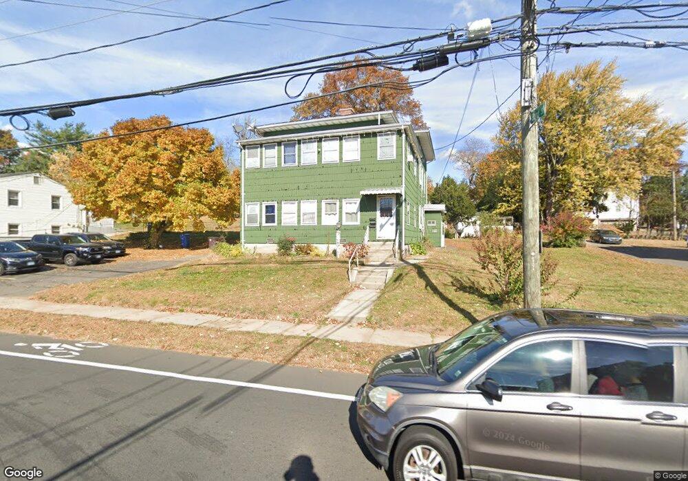
69 Clinton St New Britain, CT 06053
Estimated Value: $278,740 - $380,000
4
Beds
2
Baths
1,968
Sq Ft
$172/Sq Ft
Est. Value
About This Home
This home is located at 69 Clinton St, New Britain, CT 06053 and is currently estimated at $338,435, approximately $171 per square foot. 69 Clinton St is a home located in Hartford County with nearby schools including Gaffney School, Pulaski Middle School, and Mountain Laurel Sudbury School.
Ownership History
Date
Name
Owned For
Owner Type
Purchase Details
Closed on
Sep 19, 2018
Sold by
Ziolkowski Margaret M
Bought by
Montero Jorge and Chimborazo Ana
Current Estimated Value
Purchase Details
Closed on
Jul 7, 2000
Sold by
Est Markowski Joan P and Ponte Thomas M
Bought by
Ziolkowski Margaret M
Home Financials for this Owner
Home Financials are based on the most recent Mortgage that was taken out on this home.
Original Mortgage
$59,500
Interest Rate
8.55%
Create a Home Valuation Report for This Property
The Home Valuation Report is an in-depth analysis detailing your home's value as well as a comparison with similar homes in the area
Home Values in the Area
Average Home Value in this Area
Purchase History
| Date | Buyer | Sale Price | Title Company |
|---|---|---|---|
| Montero Jorge | $134,000 | -- | |
| Ziolkowski Margaret M | $82,500 | -- |
Source: Public Records
Mortgage History
| Date | Status | Borrower | Loan Amount |
|---|---|---|---|
| Previous Owner | Ziolkowski Margaret M | $59,500 |
Source: Public Records
Tax History Compared to Growth
Tax History
| Year | Tax Paid | Tax Assessment Tax Assessment Total Assessment is a certain percentage of the fair market value that is determined by local assessors to be the total taxable value of land and additions on the property. | Land | Improvement |
|---|---|---|---|---|
| 2025 | $5,694 | $145,320 | $51,660 | $93,660 |
| 2024 | $5,753 | $145,320 | $51,660 | $93,660 |
| 2023 | $5,563 | $145,320 | $51,660 | $93,660 |
| 2022 | $3,971 | $80,220 | $17,150 | $63,070 |
| 2021 | $3,971 | $80,220 | $17,150 | $63,070 |
| 2020 | $4,051 | $80,220 | $17,150 | $63,070 |
| 2019 | $4,051 | $80,220 | $17,150 | $63,070 |
| 2018 | $4,051 | $80,220 | $17,150 | $63,070 |
| 2017 | $3,998 | $79,170 | $17,850 | $61,320 |
| 2016 | $3,998 | $79,170 | $17,850 | $61,320 |
| 2015 | $3,879 | $79,170 | $17,850 | $61,320 |
| 2014 | $3,879 | $79,170 | $17,850 | $61,320 |
Source: Public Records
Map
Nearby Homes
- 45 Clinton St
- 25 Clinton St
- 19 Pulaski St
- 335 Broad St
- 18 Cross St
- 179 Broad St
- 19 Ridgewood St
- 144 Overhill Ave
- 102 Mitchell St
- 43 Westerly St
- 38 Westerly St
- 7 Doris St
- 79 Hillhurst Ave
- 151 Sterling St
- 124 Biruta St Unit J3, 29A
- 101 Maplehurst Ave
- 251 Pershing Ave
- 235 High St Unit C
- 300 W Main St
- 230 Hillhurst Ave