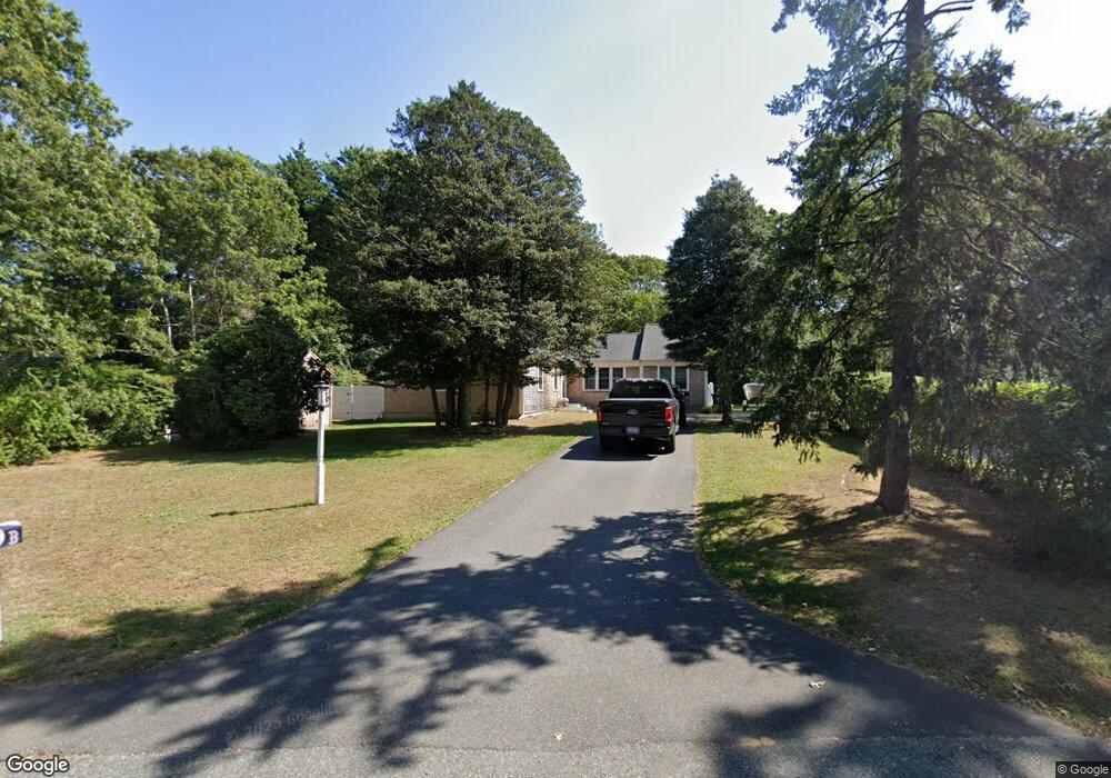
69 Conners Rd Centerville, MA 02632
Centerville NeighborhoodEstimated Value: $826,000 - $940,000
3
Beds
3
Baths
1,777
Sq Ft
$489/Sq Ft
Est. Value
About This Home
This home is located at 69 Conners Rd, Centerville, MA 02632 and is currently estimated at $868,791, approximately $488 per square foot. 69 Conners Rd is a home located in Barnstable County with nearby schools including Centerville Elementary School, Barnstable United Elementary School, and Barnstable Intermediate School.
Ownership History
Date
Name
Owned For
Owner Type
Purchase Details
Closed on
Sep 15, 2022
Sold by
Conners Realty Corp
Bought by
Nastasia Chanelle K
Current Estimated Value
Purchase Details
Closed on
Apr 27, 2018
Sold by
Nastasia Thomas V
Bought by
Conners Realty Corp
Purchase Details
Closed on
Mar 7, 2018
Sold by
Nastasia Kathleen S
Bought by
Conners Realty Corp
Create a Home Valuation Report for This Property
The Home Valuation Report is an in-depth analysis detailing your home's value as well as a comparison with similar homes in the area
Home Values in the Area
Average Home Value in this Area
Purchase History
| Date | Buyer | Sale Price | Title Company |
|---|---|---|---|
| Nastasia Chanelle K | -- | None Available | |
| Conners Realty Corp | -- | -- | |
| Conners Realty Corp | -- | -- |
Source: Public Records
Tax History Compared to Growth
Tax History
| Year | Tax Paid | Tax Assessment Tax Assessment Total Assessment is a certain percentage of the fair market value that is determined by local assessors to be the total taxable value of land and additions on the property. | Land | Improvement |
|---|---|---|---|---|
| 2025 | $5,862 | $724,600 | $214,100 | $510,500 |
| 2024 | $5,650 | $723,400 | $214,100 | $509,300 |
| 2023 | $5,272 | $632,100 | $194,600 | $437,500 |
| 2022 | $4,881 | $506,300 | $133,900 | $372,400 |
| 2021 | $4,583 | $436,900 | $135,900 | $301,000 |
| 2020 | $2,900 | $264,600 | $135,900 | $128,700 |
| 2019 | $2,026 | $179,600 | $144,200 | $35,400 |
| 2018 | $2,986 | $266,100 | $168,000 | $98,100 |
| 2017 | $3,167 | $294,300 | $168,000 | $126,300 |
| 2016 | $3,222 | $295,600 | $169,300 | $126,300 |
| 2015 | $3,298 | $304,000 | $164,400 | $139,600 |
Source: Public Records
Map
Nearby Homes
- 2 Longview Dr
- 140 Wequaquet Ln
- 60 Richards Ln
- 386 Bishops Terrace
- 78 Brant Way
- 58 Loomis Ln
- 481 Lakeside Dr W
- 21 Brian Ln
- 25 Daybreak Ln
- 1160 Phinneys Ln Unit 2B
- 522 Lincoln Road Extension
- 296 Lincoln Rd
- 855 W Main St Unit 7
- 75 Olander Dr
- 75 Olander Dr
- 825 W Main St Unit 4
- 576 Strawberry Hill Rd
- 210 Attucks Ln
- 230 Attucks Ln
- 65 Olander Dr