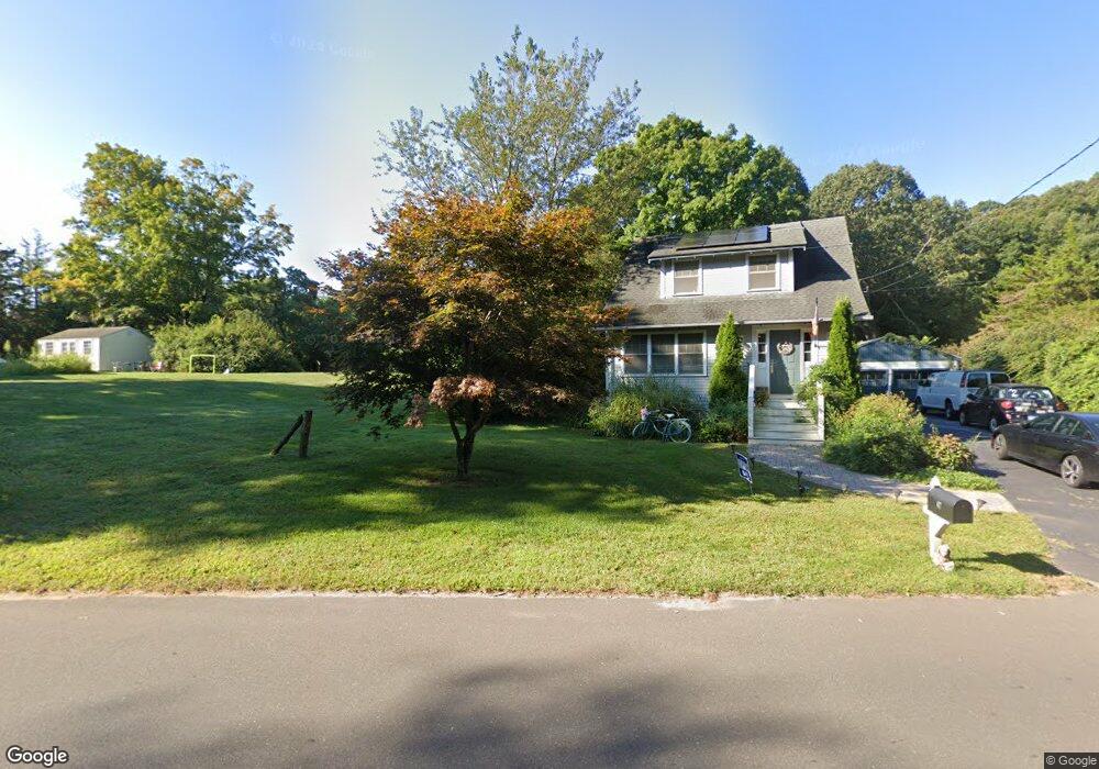
69 Copse Rd Madison, CT 06443
Estimated Value: $814,000 - $1,051,855
4
Beds
4
Baths
2,898
Sq Ft
$311/Sq Ft
Est. Value
About This Home
This home is located at 69 Copse Rd, Madison, CT 06443 and is currently estimated at $902,464, approximately $311 per square foot. 69 Copse Rd is a home located in New Haven County with nearby schools including Walter C. Polson Upper Middle School, Daniel Hand High School, and Our Lady of Mercy Preparatory Academy.
Ownership History
Date
Name
Owned For
Owner Type
Purchase Details
Closed on
Oct 7, 1996
Sold by
Cook Vilmam R
Bought by
Cook Kent W and Cook Catherine R
Current Estimated Value
Purchase Details
Closed on
Jun 7, 1995
Sold by
Sexton Tr Michael A
Bought by
Cook Vilma R
Create a Home Valuation Report for This Property
The Home Valuation Report is an in-depth analysis detailing your home's value as well as a comparison with similar homes in the area
Home Values in the Area
Average Home Value in this Area
Purchase History
| Date | Buyer | Sale Price | Title Company |
|---|---|---|---|
| Cook Kent W | $117,000 | -- | |
| Cook Vilma R | $102,500 | -- |
Source: Public Records
Mortgage History
| Date | Status | Borrower | Loan Amount |
|---|---|---|---|
| Closed | Cook Vilma R | $150,000 | |
| Closed | Cook Vilma R | $200,000 | |
| Closed | Cook Vilma R | $80,000 |
Source: Public Records
Tax History
| Year | Tax Paid | Tax Assessment Tax Assessment Total Assessment is a certain percentage of the fair market value that is determined by local assessors to be the total taxable value of land and additions on the property. | Land | Improvement |
|---|---|---|---|---|
| 2025 | $11,504 | $512,900 | $144,800 | $368,100 |
| 2024 | $11,284 | $512,900 | $144,800 | $368,100 |
| 2023 | $10,810 | $360,700 | $111,400 | $249,300 |
| 2022 | $10,608 | $360,700 | $111,400 | $249,300 |
| 2021 | $10,406 | $360,700 | $111,400 | $249,300 |
| 2020 | $10,226 | $360,700 | $111,400 | $249,300 |
| 2019 | $10,226 | $360,700 | $111,400 | $249,300 |
| 2018 | $9,186 | $327,600 | $97,000 | $230,600 |
| 2017 | $8,943 | $327,600 | $97,000 | $230,600 |
| 2016 | $8,678 | $327,600 | $97,000 | $230,600 |
| 2015 | $8,439 | $327,600 | $97,000 | $230,600 |
| 2014 | $13,479 | $535,500 | $134,100 | $401,400 |
Source: Public Records
Map
Nearby Homes
- 14 Centre Village Dr
- 37 Lantern Hill Rd
- 30 Meeting House Ln
- 31 Stony Lane Lot 2 Rd
- 31 Stony Lane Lot 1 Rd
- 75 Fairview Dr
- 31 Stony Lane Lot 3 Rd
- 0 Bushnell Ln
- 24 Railroad Ave
- 11 Tuxis Rd
- 40 Puritan Ln
- 908 Boston Post Rd Unit 908
- 38 Sportsman Hill Rd
- 77 E Wharf Rd
- 92 Scotland Ave
- 268 Durham Rd
- 2 Esterly Farms Rd
- 42 Wildcat Rd
- 153 Middle Beach Rd
- 21 Apple Way
- 61 Copse Rd
- 57 Copse Rd
- 71 Copse Rd
- 53 Copse Rd
- 46 Burcam Dr
- 61 Lantern Hill
- 75 Lantern Hill
- 11 Fort Path Rd
- 45 Copse Rd
- 1 Centre Village Dr
- 21 Copse Rd
- 21 Copse Rd Unit 1st Floor
- 41 Copse Rd
- 50 Copse Rd
- 23 Fort Path Rd
- 68 Lantern Hill
- 3 Centre Village Dr
- 15 Centre Village Dr
- 5 Bradley Rd
- 27 Fort Path Rd