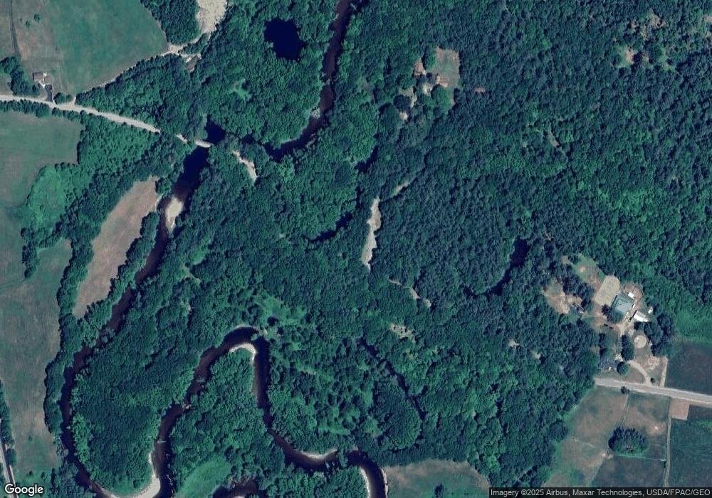
69 Covered Bridge Rd Andover, ME 04216
Estimated Value: $191,000 - $324,893
--
Bed
--
Bath
1,188
Sq Ft
$233/Sq Ft
Est. Value
About This Home
This home is located at 69 Covered Bridge Rd, Andover, ME 04216 and is currently estimated at $276,298, approximately $232 per square foot. 69 Covered Bridge Rd is a home with nearby schools including Telstar Middle School and Telstar High School.
Create a Home Valuation Report for This Property
The Home Valuation Report is an in-depth analysis detailing your home's value as well as a comparison with similar homes in the area
Home Values in the Area
Average Home Value in this Area
Tax History Compared to Growth
Tax History
| Year | Tax Paid | Tax Assessment Tax Assessment Total Assessment is a certain percentage of the fair market value that is determined by local assessors to be the total taxable value of land and additions on the property. | Land | Improvement |
|---|---|---|---|---|
| 2025 | $4,338 | $199,919 | $90,150 | $109,769 |
| 2024 | $3,649 | $199,919 | $90,150 | $109,769 |
| 2023 | $3,099 | $199,919 | $90,150 | $109,769 |
| 2022 | $2,979 | $199,919 | $90,150 | $109,769 |
| 2021 | $2,799 | $199,919 | $90,150 | $109,769 |
| 2020 | $2,699 | $199,920 | $90,152 | $109,768 |
| 2019 | $2,999 | $199,920 | $90,152 | $109,768 |
| 2018 | $3,139 | $199,920 | $90,152 | $109,768 |
| 2017 | $3,243 | $142,248 | $82,938 | $59,310 |
| 2016 | $3,506 | $142,248 | $82,938 | $59,310 |
| 2015 | $2,788 | $142,248 | $82,938 | $59,310 |
| 2014 | $2,219 | $142,248 | $82,938 | $59,310 |
| 2013 | $2,063 | $142,248 | $82,938 | $59,310 |
Source: Public Records
Map
Nearby Homes
- 91 Airport Rd
- 1077 S Main St
- 577 E Andover Rd
- 130 Farmers Hill Rd
- Lot 27-001 Coburn Brook Rd
- 108 Coburn Brook Rd
- 10 S Arm Rd
- 4 Nevel Rd
- Map 404 Lot 13
- 672 Meadow Ln
- Map 402 Lot 7 Rd
- 14 Puzzle Mountain Rd
- Map 402 Lot 9
- 225 Main St
- Lot 22 Roxbury Notch Rd
- Map 402 Lot 3
- TBD Plumbago Mountain
- Map 402 Lot 10
- 24 Dual Cove Point Rd
- Map 401 Lot 8 Rd
- 115 Covered Bridge Rd
- 11 Covered Bridge Rd
- 904 S Main St
- 864 S Main St
- 851 S Main St
- 141 Covered Bridge Rd
- 962 So Main St
- 962 S Main St
- 31 Firelane 850
- 0 Maine 5
- 739 S Main St
- 98 Airport Rd
- 95 Airport Rd
- 0 E Andover Rd
- 740 E Andover Rd
- 731 E Andover Rd
- 696 E Andover Rd
- 734 E Andover Rd
- 729 S Main St
- 37 Airport Rd
