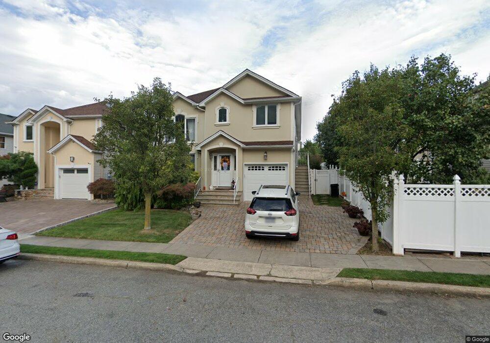
69 Covington Cir Staten Island, NY 10312
Huguenot NeighborhoodEstimated Value: $995,242 - $1,319,000
--
Bed
--
Bath
2,600
Sq Ft
$430/Sq Ft
Est. Value
About This Home
This home is located at 69 Covington Cir, Staten Island, NY 10312 and is currently estimated at $1,118,811, approximately $430 per square foot. 69 Covington Cir is a home located in Richmond County with nearby schools including P.S. 4 - Maurice Wollin, I.S. 075 Frank D. Paulo, and Tottenville High School.
Ownership History
Date
Name
Owned For
Owner Type
Purchase Details
Closed on
Jun 8, 2001
Sold by
Dora Homes Inc
Bought by
Ruffle Daniel H and Ruffle Laverne
Current Estimated Value
Home Financials for this Owner
Home Financials are based on the most recent Mortgage that was taken out on this home.
Original Mortgage
$100,000
Outstanding Balance
$38,259
Interest Rate
7.2%
Estimated Equity
$1,080,552
Create a Home Valuation Report for This Property
The Home Valuation Report is an in-depth analysis detailing your home's value as well as a comparison with similar homes in the area
Home Values in the Area
Average Home Value in this Area
Purchase History
| Date | Buyer | Sale Price | Title Company |
|---|---|---|---|
| Ruffle Daniel H | $502,000 | -- |
Source: Public Records
Mortgage History
| Date | Status | Borrower | Loan Amount |
|---|---|---|---|
| Open | Ruffle Daniel H | $100,000 |
Source: Public Records
Tax History Compared to Growth
Tax History
| Year | Tax Paid | Tax Assessment Tax Assessment Total Assessment is a certain percentage of the fair market value that is determined by local assessors to be the total taxable value of land and additions on the property. | Land | Improvement |
|---|---|---|---|---|
| 2025 | $10,345 | $57,060 | $14,532 | $42,528 |
| 2024 | $10,357 | $56,220 | $14,060 | $42,160 |
| 2023 | $10,345 | $52,908 | $12,692 | $40,216 |
| 2022 | $9,742 | $57,240 | $14,940 | $42,300 |
| 2021 | $9,660 | $47,340 | $14,880 | $32,460 |
| 2020 | $9,483 | $46,200 | $14,880 | $31,320 |
| 2019 | $8,920 | $44,040 | $14,880 | $29,160 |
| 2018 | $9,517 | $48,145 | $14,508 | $33,637 |
| 2017 | $8,959 | $45,420 | $14,880 | $30,540 |
| 2016 | $9,271 | $47,928 | $14,252 | $33,676 |
| 2015 | $8,372 | $45,216 | $12,640 | $32,576 |
| 2014 | $8,372 | $45,216 | $12,640 | $32,576 |
Source: Public Records
Map
Nearby Homes
- 629 Marcy Ave
- 177 Russek Dr Unit 1
- 177 Russek Dr Unit 7
- 97 Cardiff St
- 727 Stafford Ave
- 147 Russek Dr Unit 47
- 123 Cardiff St
- 135 Russek Dr Unit 43
- 47 Hemlock St
- 0 Woodrow Rd
- 504 Huguenot Ave
- 41 Walker Place
- 816 Sinclair Ave
- 735 Sheldon Ave
- 16 Ebey Ln
- 104 Wieland Ave
- 106 Wieland Ave
- 108 Wieland Ave
- 867 Sinclair Ave
- 944 Woodrow Rd
- 67 Covington Cir
- 99 Covington Cir
- 103 Covington Cir
- 97 Covington Cir
- 65 Covington Cir
- 105 Covington Cir
- 109 Covington Cir
- 63 Covington Cir
- 28 Wycliff Ln
- 26 Wycliff Ln
- 32 Wycliff Ln
- 34 Wycliff Ln
- 111 Covington Cir
- 38 Wycliff Ln
- 68 Covington Cir
- 70 Covington Cir
- 66 Covington Cir
- 40 Wycliff Ln
- 115 Covington Cir
- 61 Covington Cir