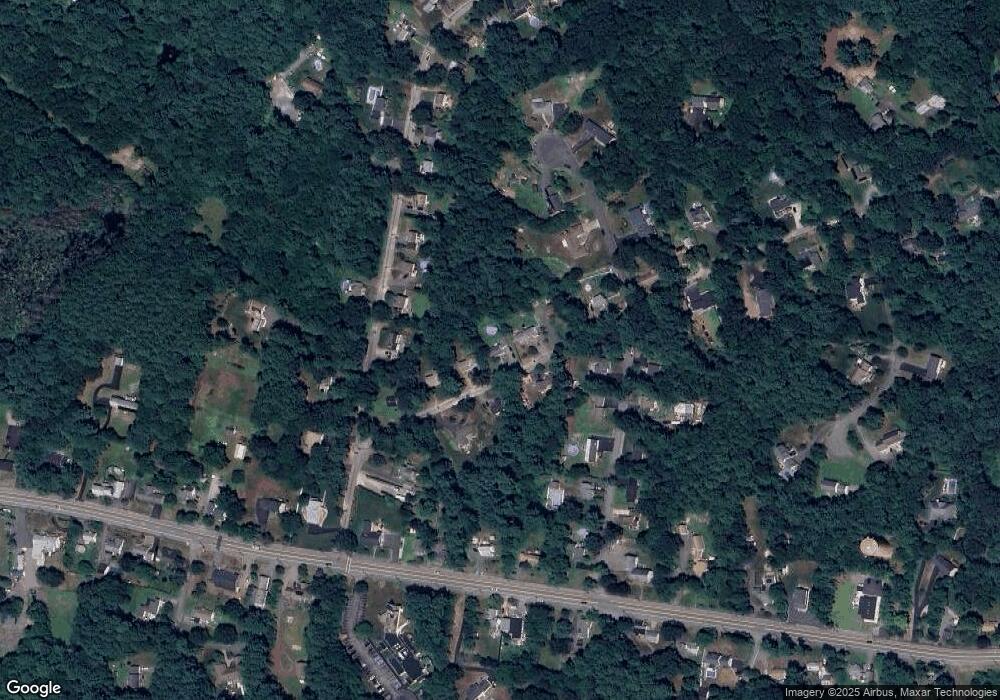
69 Cross St Foxboro, MA 02035
Estimated Value: $573,844 - $672,000
3
Beds
3
Baths
1,344
Sq Ft
$465/Sq Ft
Est. Value
About This Home
This home is located at 69 Cross St, Foxboro, MA 02035 and is currently estimated at $624,711, approximately $464 per square foot. 69 Cross St is a home located in Norfolk County with nearby schools including Foxborough High School, Foxborough Regional Charter School, and The Sage School.
Ownership History
Date
Name
Owned For
Owner Type
Purchase Details
Closed on
Oct 15, 2003
Sold by
Brightman Matthew P and Brightman Colleen M
Bought by
Brody Jonathan Hb and Brody Nancy Rh
Current Estimated Value
Home Financials for this Owner
Home Financials are based on the most recent Mortgage that was taken out on this home.
Original Mortgage
$250,800
Outstanding Balance
$118,801
Interest Rate
6.43%
Mortgage Type
Purchase Money Mortgage
Estimated Equity
$505,910
Purchase Details
Closed on
Jul 30, 1999
Sold by
Blanchette David M
Bought by
Brightman Matthew P and Brightman Colleen M
Home Financials for this Owner
Home Financials are based on the most recent Mortgage that was taken out on this home.
Original Mortgage
$141,600
Interest Rate
7.61%
Mortgage Type
Purchase Money Mortgage
Create a Home Valuation Report for This Property
The Home Valuation Report is an in-depth analysis detailing your home's value as well as a comparison with similar homes in the area
Home Values in the Area
Average Home Value in this Area
Purchase History
| Date | Buyer | Sale Price | Title Company |
|---|---|---|---|
| Brody Jonathan Hb | $313,500 | -- | |
| Brightman Matthew P | $177,000 | -- |
Source: Public Records
Mortgage History
| Date | Status | Borrower | Loan Amount |
|---|---|---|---|
| Open | Brody Jonathan Hb | $250,800 | |
| Previous Owner | Brightman Matthew P | $141,600 | |
| Previous Owner | Brightman Matthew P | $125,000 |
Source: Public Records
Tax History
| Year | Tax Paid | Tax Assessment Tax Assessment Total Assessment is a certain percentage of the fair market value that is determined by local assessors to be the total taxable value of land and additions on the property. | Land | Improvement |
|---|---|---|---|---|
| 2025 | $6,003 | $454,100 | $217,400 | $236,700 |
| 2024 | $5,920 | $438,200 | $217,400 | $220,800 |
| 2023 | $5,715 | $402,200 | $207,000 | $195,200 |
| 2022 | $5,573 | $383,800 | $198,000 | $185,800 |
| 2021 | $5,348 | $362,800 | $180,000 | $182,800 |
| 2020 | $5,197 | $356,700 | $180,000 | $176,700 |
| 2019 | $4,997 | $339,900 | $171,400 | $168,500 |
| 2018 | $4,884 | $335,200 | $171,400 | $163,800 |
| 2017 | $4,711 | $313,200 | $160,200 | $153,000 |
| 2016 | $4,551 | $307,100 | $154,100 | $153,000 |
| 2015 | $4,420 | $291,000 | $130,200 | $160,800 |
| 2014 | $4,277 | $285,300 | $127,600 | $157,700 |
Source: Public Records
Map
Nearby Homes
Your Personal Tour Guide
Ask me questions while you tour the home.