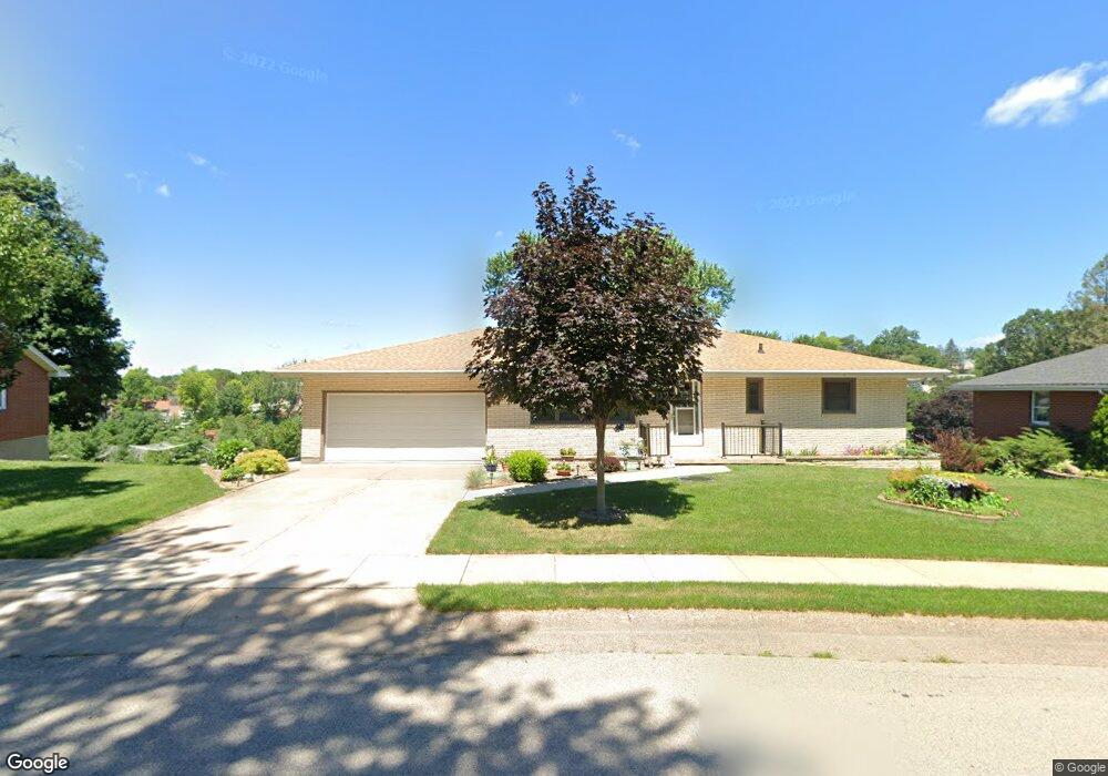
69 Croydon Crest Dubuque, IA 52001
Estimated Value: $252,861 - $292,000
2
Beds
3
Baths
2,470
Sq Ft
$108/Sq Ft
Est. Value
About This Home
This home is located at 69 Croydon Crest, Dubuque, IA 52001 and is currently estimated at $266,715, approximately $107 per square foot. 69 Croydon Crest is a home located in Dubuque County with nearby schools including Irving Elementary School, George Washington Middle School, and Dubuque Senior High School.
Ownership History
Date
Name
Owned For
Owner Type
Purchase Details
Closed on
Apr 13, 2009
Sold by
Francois Ronald J and Francois Jane A
Bought by
Peters George H and Peters Adele M
Current Estimated Value
Purchase Details
Closed on
Jun 8, 2005
Sold by
Collins Cecilia T
Bought by
Francis Ronald J and Francis Jane A
Home Financials for this Owner
Home Financials are based on the most recent Mortgage that was taken out on this home.
Original Mortgage
$26,600
Interest Rate
5.87%
Mortgage Type
Stand Alone Second
Create a Home Valuation Report for This Property
The Home Valuation Report is an in-depth analysis detailing your home's value as well as a comparison with similar homes in the area
Purchase History
| Date | Buyer | Sale Price | Title Company |
|---|---|---|---|
| Peters George H | $144,500 | None Available | |
| Francis Ronald J | $133,000 | None Available |
Source: Public Records
Mortgage History
| Date | Status | Borrower | Loan Amount |
|---|---|---|---|
| Previous Owner | Francis Ronald J | $26,600 | |
| Previous Owner | Francis Ronald J | $106,400 |
Source: Public Records
Tax History
| Year | Tax Paid | Tax Assessment Tax Assessment Total Assessment is a certain percentage of the fair market value that is determined by local assessors to be the total taxable value of land and additions on the property. | Land | Improvement |
|---|---|---|---|---|
| 2025 | $3,124 | $256,500 | $40,200 | $216,300 |
| 2024 | $3,124 | $241,200 | $38,200 | $203,000 |
| 2023 | $3,222 | $241,200 | $38,200 | $203,000 |
| 2022 | $2,900 | $190,430 | $36,160 | $154,270 |
| 2021 | $2,900 | $190,430 | $36,160 | $154,270 |
| 2020 | $2,906 | $172,190 | $34,150 | $138,040 |
| 2019 | $2,898 | $172,190 | $34,150 | $138,040 |
| 2018 | $2,850 | $164,380 | $32,140 | $132,240 |
| 2017 | $2,720 | $164,380 | $32,140 | $132,240 |
| 2016 | $2,720 | $149,390 | $32,140 | $117,250 |
| 2015 | $2,662 | $149,390 | $32,140 | $117,250 |
| 2014 | $2,590 | $149,390 | $32,140 | $117,250 |
Source: Public Records
Map
Nearby Homes
- 240 Devon Dr
- 2637 Nebraska St
- 2476 Pearl St
- 1642 Drexel Ave
- 105 Cherokee Dr
- 3063 Brunskill Rd
- 1355 Ohagen St
- 2750 Pennsylvania Ave
- 124 Cherokee Dr
- 2163 Lombard St
- 2935 Van Buren St
- 2844 Oak Meadow Ct
- 2155 Decorah St
- 1674 Avoca St
- 2628 University Ave
- 1765 Eden Ln
- 81 Fremont Ave
- 1698 N Algona St
- 1556 Auburn St
- 1930 Saint Anne Ct
- 77 Croydon Crest
- 63 Croydon Crest
- 2736 Mineral St
- 2720 Mineral St
- 85 Croydon Crest
- 2750 Mineral St
- 70 Croydon Crest
- 57 Croydon Crest
- 80 Croydon Crest
- 2702 Mineral St
- 60 Croydon Crest
- 93 Croydon Crest
- 90 Croydon Crest
- 2690 Mineral St
- 2731 Mineral St
- 65 Cambridge Ct
- 50 Croydon Crest
- 99 Croydon Crest
- 53 Croydon Crest
- 2743 Mineral St
Your Personal Tour Guide
Ask me questions while you tour the home.