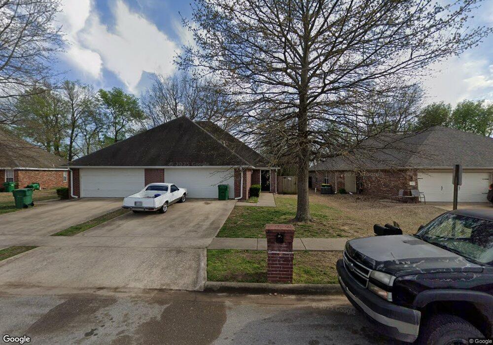
69 Dakota Trail Farmington, AR 72730
Estimated Value: $384,000 - $428,000
--
Bed
4
Baths
3,074
Sq Ft
$132/Sq Ft
Est. Value
About This Home
This home is located at 69 Dakota Trail, Farmington, AR 72730 and is currently estimated at $404,745, approximately $131 per square foot. 69 Dakota Trail is a home located in Washington County with nearby schools including Randall G. Lynch Middle School, Bob Folsom Elementary School, and Farmington Jr. High.
Ownership History
Date
Name
Owned For
Owner Type
Purchase Details
Closed on
Sep 10, 2015
Bought by
Sands Dale Eugene and Sands Danna
Current Estimated Value
Purchase Details
Closed on
Jul 31, 2006
Sold by
Dillard Bryant A and Dillard Kim A
Bought by
Harding Russell D
Home Financials for this Owner
Home Financials are based on the most recent Mortgage that was taken out on this home.
Original Mortgage
$199,500
Interest Rate
6.66%
Mortgage Type
Purchase Money Mortgage
Purchase Details
Closed on
Apr 16, 2004
Sold by
Ksda Inc
Bought by
Dillard Bryant A and Dillard Kim A
Home Financials for this Owner
Home Financials are based on the most recent Mortgage that was taken out on this home.
Original Mortgage
$148,800
Interest Rate
5.42%
Mortgage Type
Purchase Money Mortgage
Purchase Details
Closed on
Sep 19, 2003
Sold by
Commercial Properties Inc
Bought by
Ksda Inc
Purchase Details
Closed on
Jan 1, 1994
Bought by
Commercial Properties, Inc
Create a Home Valuation Report for This Property
The Home Valuation Report is an in-depth analysis detailing your home's value as well as a comparison with similar homes in the area
Home Values in the Area
Average Home Value in this Area
Purchase History
| Date | Buyer | Sale Price | Title Company |
|---|---|---|---|
| Sands Dale Eugene | $185,000 | -- | |
| Harding Russell D | $210,000 | Heritage Land Title Of Ar | |
| Dillard Bryant A | $36,000 | Landtrust Title & Closing In | |
| Ksda Inc | $35,000 | Landtrust Title & Closing | |
| Commercial Properties, Inc | -- | -- |
Source: Public Records
Mortgage History
| Date | Status | Borrower | Loan Amount |
|---|---|---|---|
| Previous Owner | Harding Russell D | $199,500 | |
| Previous Owner | Dillard Bryant A | $148,800 |
Source: Public Records
Tax History Compared to Growth
Tax History
| Year | Tax Paid | Tax Assessment Tax Assessment Total Assessment is a certain percentage of the fair market value that is determined by local assessors to be the total taxable value of land and additions on the property. | Land | Improvement |
|---|---|---|---|---|
| 2025 | $3,723 | $73,150 | $9,000 | $64,150 |
| 2024 | $3,760 | $73,150 | $9,000 | $64,150 |
| 2023 | $3,921 | $73,150 | $9,000 | $64,150 |
| 2022 | $2,601 | $48,530 | $6,000 | $42,530 |
| 2021 | $2,469 | $48,530 | $6,000 | $42,530 |
| 2020 | $2,263 | $48,530 | $6,000 | $42,530 |
| 2019 | $2,065 | $38,170 | $6,000 | $32,170 |
| 2018 | $2,065 | $38,170 | $6,000 | $32,170 |
| 2017 | $2,046 | $38,170 | $6,000 | $32,170 |
| 2016 | $2,046 | $38,170 | $6,000 | $32,170 |
| 2015 | $2,046 | $38,170 | $6,000 | $32,170 |
| 2014 | $2,142 | $39,960 | $6,000 | $33,960 |
Source: Public Records
Map
Nearby Homes
- 271 Greenfield Ave
- 93 Old Depot Rd
- 201 Countryside Dr
- 237 Briarhill Dr
- 311 S Sundown Dr
- 285 Briarhill Dr
- 48 Cedar St
- TBD White St
- 9 Bois d Arc St
- 216 Idaho Ave
- 142 N Sheep Dog Ave
- 485 W Branta St
- 275 S Nightfall Ave
- 114 W Main St
- Rye 1903 Plan at The Grove at Engles Mill
- Ouachita 1669 Plan at The Grove at Engles Mill
- Cache 1788 Plan at The Grove at Engles Mill
- Degray 1757 Plan at The Grove at Engles Mill
- Stella 1848 Plan at The Grove at Engles Mill
- Millwood 1862 Plan at The Grove at Engles Mill
- 67 Dakota Trail
- 67 & 69 W Dakota Trail
- 69 W Dakota Trail
- 67 Dakota Trail
- 71 Dakota Trail
- 59 Dakota Trail
- 70 W Rainsong St
- 64 W Rainsong St
- 75 Dakota Trail Unit 81
- 75 Dakota Trail
- 51 Dakota Trail
- 70 Dakota Trail
- 0 Dakota Trail Unit 2776226-4230352
- 60 Dakota Trail
- 78 Dakota Trail
- 83 Dakota Trail
- 58 W Rainsong St
- 58 W Rainsong St Unit 58-60
- 47 Dakota Trail
- 52 Dakota Trail