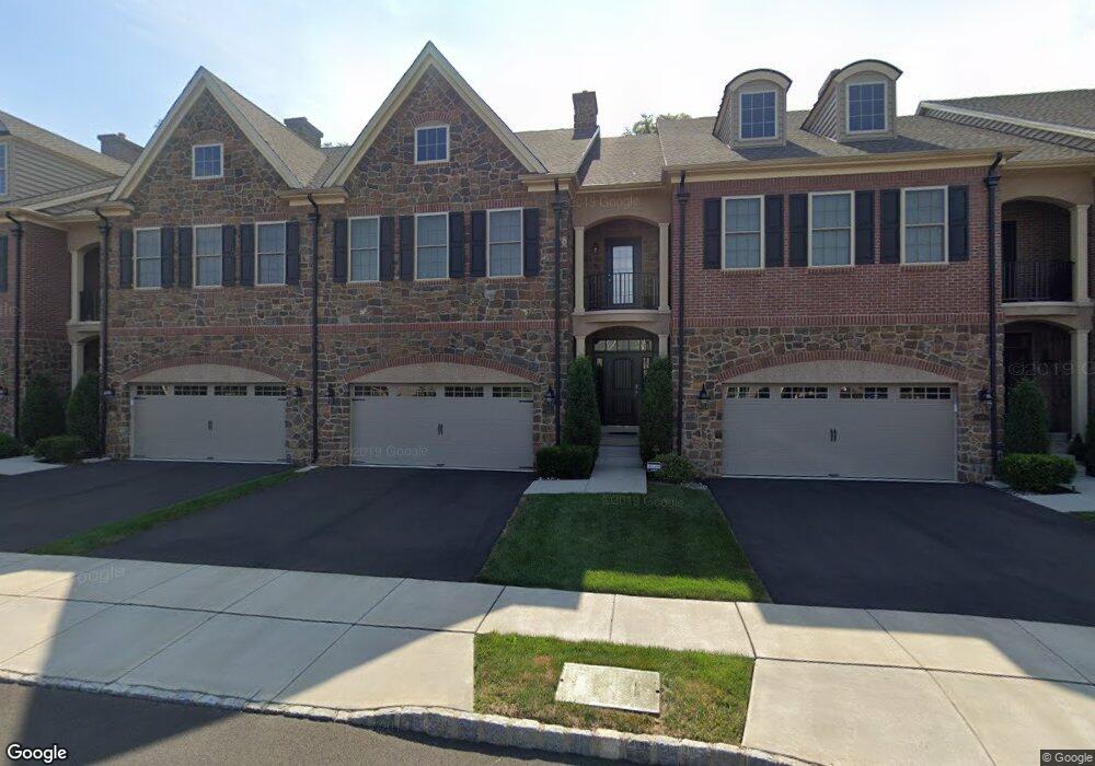
69 David Dr Newtown, PA 18940
Estimated Value: $934,000 - $1,050,000
3
Beds
3
Baths
2,762
Sq Ft
$365/Sq Ft
Est. Value
About This Home
This home is located at 69 David Dr, Newtown, PA 18940 and is currently estimated at $1,008,009, approximately $364 per square foot. 69 David Dr is a home with nearby schools including Goodnoe Elementary School, Newtown Middle School, and Council Rock High School North.
Ownership History
Date
Name
Owned For
Owner Type
Purchase Details
Closed on
Mar 26, 2021
Sold by
Rick And Wendy Heater Revocable Trust and Heater Richard Edward
Bought by
Heater Richard Edward and Heater Wendy
Current Estimated Value
Purchase Details
Closed on
Jun 9, 2019
Sold by
Heater Richard E and Heater Wendy
Bought by
Rick And Wendy Heater Revocable Trust
Purchase Details
Closed on
Jul 11, 2017
Sold by
Heater Richard E and Heater Wendy
Bought by
Heater Richard E and Heater Wendy
Purchase Details
Closed on
Feb 24, 2017
Sold by
Newtown Yardley Investment Lp
Bought by
Heater Rick and Heater Wendy
Home Financials for this Owner
Home Financials are based on the most recent Mortgage that was taken out on this home.
Original Mortgage
$479,200
Interest Rate
4.19%
Mortgage Type
New Conventional
Create a Home Valuation Report for This Property
The Home Valuation Report is an in-depth analysis detailing your home's value as well as a comparison with similar homes in the area
Home Values in the Area
Average Home Value in this Area
Purchase History
| Date | Buyer | Sale Price | Title Company |
|---|---|---|---|
| Heater Richard Edward | -- | None Listed On Document | |
| Rick And Wendy Heater Revocable Trust | -- | First Partners Abstract Co | |
| Heater Richard E | -- | None Available | |
| Heater Rick | $599,000 | None Available |
Source: Public Records
Mortgage History
| Date | Status | Borrower | Loan Amount |
|---|---|---|---|
| Previous Owner | Heater Rick | $479,200 |
Source: Public Records
Tax History Compared to Growth
Tax History
| Year | Tax Paid | Tax Assessment Tax Assessment Total Assessment is a certain percentage of the fair market value that is determined by local assessors to be the total taxable value of land and additions on the property. | Land | Improvement |
|---|---|---|---|---|
| 2025 | $11,779 | $66,280 | $3,860 | $62,420 |
| 2024 | $11,779 | $66,280 | $3,860 | $62,420 |
| 2023 | $11,270 | $66,280 | $3,860 | $62,420 |
| 2022 | $11,052 | $66,280 | $3,860 | $62,420 |
| 2021 | $10,880 | $66,280 | $3,860 | $62,420 |
| 2020 | $10,356 | $66,280 | $3,860 | $62,420 |
| 2019 | $10,111 | $66,280 | $3,860 | $62,420 |
| 2018 | $9,919 | $66,280 | $3,860 | $62,420 |
| 2017 | $446 | $3,090 | $3,090 | $0 |
| 2016 | $443 | $3,090 | $3,090 | $0 |
| 2015 | -- | $0 | $0 | $0 |
Source: Public Records
Map
Nearby Homes
- 47 Wellington Rd
- 7 Garrison Place
- 2 Farmington Place
- 35 Essex Place
- 25 Wellington Rd
- 215 Rumford Ct
- 21 Violet Ln Unit 161A
- 128 Thornhill Ln
- 277 Willow Dr
- 0 Route 413 Bypass Unit PABU2010042
- 101 N Norwood Ave
- 532 Penn St
- 54 Kanon Ct
- 313 Washington Ave
- 9 Pickering Dr
- 2017 Quarry Rd
- 337 S Lincoln Ave
- 113 Penn St
- 22 Penn St
- 113 Thorton Ln