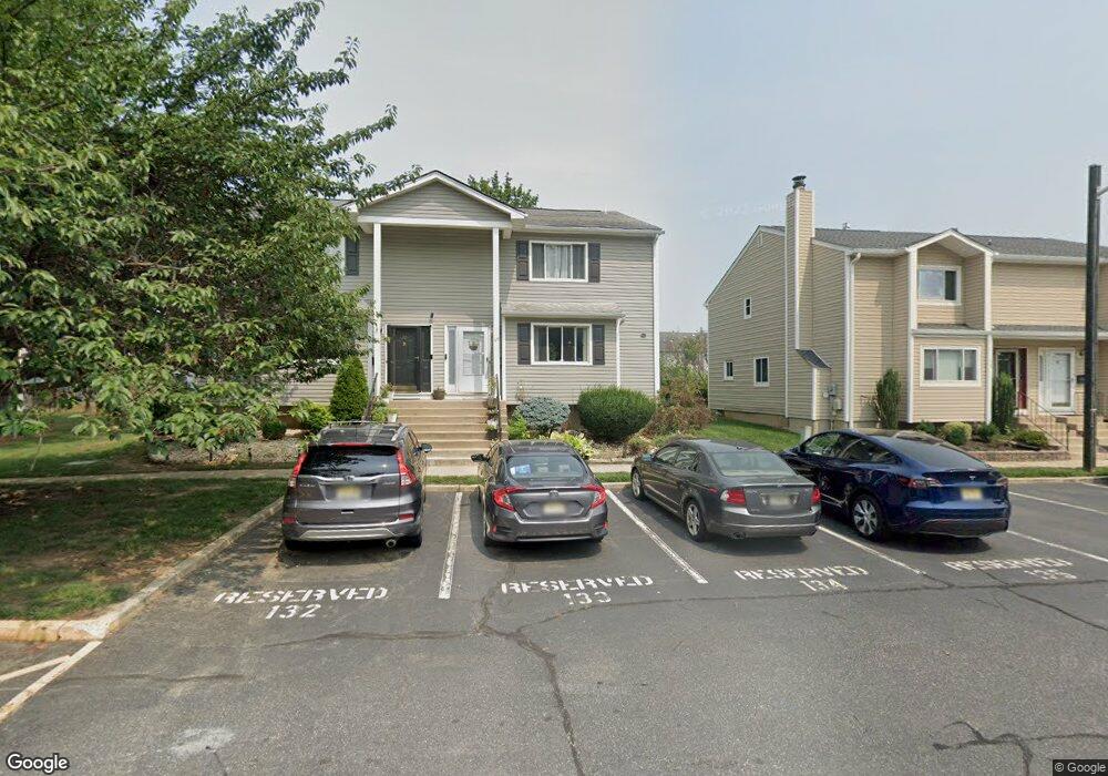
69 Davids Ct Dayton, NJ 08810
Estimated Value: $521,000 - $599,000
3
Beds
4
Baths
1,668
Sq Ft
$346/Sq Ft
Est. Value
About This Home
This home is located at 69 Davids Ct, Dayton, NJ 08810 and is currently estimated at $576,975, approximately $345 per square foot. 69 Davids Ct is a home located in Middlesex County with nearby schools including Indian Fields Elementary School, Crossroads South Middle School, and South Brunswick High School.
Ownership History
Date
Name
Owned For
Owner Type
Purchase Details
Closed on
Nov 2, 2018
Sold by
Singh Virender and Devi Kamlesh
Bought by
Gentela Seeta Rama and Vadapalli Bala Aparna
Current Estimated Value
Home Financials for this Owner
Home Financials are based on the most recent Mortgage that was taken out on this home.
Original Mortgage
$302,100
Interest Rate
4.9%
Mortgage Type
New Conventional
Purchase Details
Closed on
Jul 19, 2001
Home Financials for this Owner
Home Financials are based on the most recent Mortgage that was taken out on this home.
Original Mortgage
$120,000
Interest Rate
7.2%
Purchase Details
Closed on
Jul 12, 2001
Sold by
Powell Mark
Bought by
Singh Virender
Home Financials for this Owner
Home Financials are based on the most recent Mortgage that was taken out on this home.
Original Mortgage
$120,000
Interest Rate
7.2%
Create a Home Valuation Report for This Property
The Home Valuation Report is an in-depth analysis detailing your home's value as well as a comparison with similar homes in the area
Home Values in the Area
Average Home Value in this Area
Purchase History
| Date | Buyer | Sale Price | Title Company |
|---|---|---|---|
| Gentela Seeta Rama | $318,000 | Golden Title Agency Llc | |
| -- | -- | -- | |
| Singh Virender | $160,000 | -- |
Source: Public Records
Mortgage History
| Date | Status | Borrower | Loan Amount |
|---|---|---|---|
| Previous Owner | Gentela Seeta Rama | $302,100 | |
| Previous Owner | Singh Virender | $120,000 |
Source: Public Records
Tax History Compared to Growth
Tax History
| Year | Tax Paid | Tax Assessment Tax Assessment Total Assessment is a certain percentage of the fair market value that is determined by local assessors to be the total taxable value of land and additions on the property. | Land | Improvement |
|---|---|---|---|---|
| 2025 | $7,476 | $138,400 | $40,000 | $98,400 |
| 2024 | $7,208 | $138,400 | $40,000 | $98,400 |
| 2023 | $7,208 | $138,400 | $40,000 | $98,400 |
| 2022 | $6,973 | $138,000 | $40,000 | $98,000 |
| 2021 | $4,992 | $138,000 | $40,000 | $98,000 |
| 2020 | $7,016 | $138,000 | $40,000 | $98,000 |
| 2019 | $7,079 | $138,000 | $40,000 | $98,000 |
| 2018 | $6,451 | $130,000 | $40,000 | $90,000 |
| 2017 | $6,442 | $130,000 | $40,000 | $90,000 |
| 2016 | $6,374 | $130,000 | $40,000 | $90,000 |
| 2015 | $6,179 | $130,000 | $40,000 | $90,000 |
| 2014 | $6,079 | $130,000 | $40,000 | $90,000 |
Source: Public Records
Map
Nearby Homes
- 3 Hannah Dr
- 10-Q Dayton Cir
- 45 Hannah Dr
- Q10 Quincy Cir Unit Q-10
- G8 Quincy Cir Unit G
- 8 Marc Dr
- 8 Quincy Cir Unit G
- 4 Lincoln Ln Unit F4
- 48 Woodland Way
- 29 Jeffrey Cir
- 605 Dahlia Cir
- 1906 Dahlia Cir Unit 1906
- 21 Regal Dr
- 24 Pullman Loop
- 1401 Yarrow Cir
- 408 Blossom Cir
- 1209 Blossom Cir
- 385 Ridge Rd
- 36 Haypress Rd
- 9 Haypress Rd