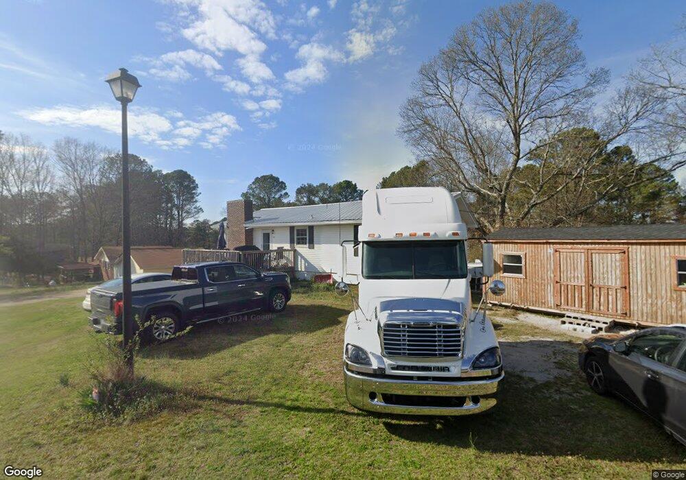
69 Dunson Rd Tallapoosa, GA 30176
Estimated Value: $238,000 - $284,000
3
Beds
2
Baths
2,184
Sq Ft
$115/Sq Ft
Est. Value
About This Home
This home is located at 69 Dunson Rd, Tallapoosa, GA 30176 and is currently estimated at $251,767, approximately $115 per square foot. 69 Dunson Rd is a home located in Haralson County with nearby schools including Haralson County High School.
Ownership History
Date
Name
Owned For
Owner Type
Purchase Details
Closed on
Feb 12, 2003
Sold by
Asay Teresa A
Bought by
Asay Teresa and Asay Edward
Current Estimated Value
Purchase Details
Closed on
Dec 21, 2001
Sold by
Hagood George T
Bought by
Asay Teresa A
Purchase Details
Closed on
Dec 19, 1987
Sold by
Garrett David and Garrett Curr
Bought by
Hagood George T
Purchase Details
Closed on
Nov 11, 1985
Sold by
Mcalister Herbert O
Bought by
Garrett David and Garrett Curr
Purchase Details
Closed on
Jul 18, 1978
Sold by
Mcclure Harley R and Mcclure J
Bought by
Mcalister Herbert O
Create a Home Valuation Report for This Property
The Home Valuation Report is an in-depth analysis detailing your home's value as well as a comparison with similar homes in the area
Home Values in the Area
Average Home Value in this Area
Purchase History
| Date | Buyer | Sale Price | Title Company |
|---|---|---|---|
| Asay Teresa | -- | -- | |
| Asay Teresa A | $89,900 | -- | |
| Hagood George T | -- | -- | |
| Garrett David | $30,900 | -- | |
| Mcalister Herbert O | $29,000 | -- |
Source: Public Records
Tax History Compared to Growth
Tax History
| Year | Tax Paid | Tax Assessment Tax Assessment Total Assessment is a certain percentage of the fair market value that is determined by local assessors to be the total taxable value of land and additions on the property. | Land | Improvement |
|---|---|---|---|---|
| 2024 | $1,453 | $47,719 | $4,834 | $42,885 |
| 2023 | $1,331 | $42,262 | $4,560 | $37,702 |
| 2022 | $831 | $34,199 | $4,560 | $29,639 |
| 2021 | $798 | $31,598 | $4,560 | $27,038 |
| 2020 | $829 | $32,651 | $4,560 | $28,091 |
| 2019 | $837 | $31,831 | $4,560 | $27,271 |
| 2018 | $848 | $31,867 | $4,560 | $27,307 |
| 2017 | $855 | $29,475 | $4,560 | $24,915 |
| 2016 | $793 | $29,219 | $4,560 | $24,659 |
| 2015 | $777 | $28,533 | $4,560 | $23,973 |
| 2014 | $862 | $30,546 | $7,600 | $22,946 |
Source: Public Records
Map
Nearby Homes
- 110 Dunson Rd
- 28 McDonald Ridge
- 77 McDonald Rd
- 194 Faye St
- 174 Faye St
- 135 Oakland Ct
- 711 Kay St
- 622 Cedartown Ave
- 0 Providence Lake Rd Unit 10576961
- 438 Bowdon St
- 0 Creek Dr Unit 148038
- 244 Monroe St
- 0 Cherokee Dr Unit 148037
- 0 Georgia 120 Unit 7646686
- 0 Georgia 120 Unit 10600882
- 871 Cherokee Dr
- 250 Kiker St
- 117 White St
- 0 Broad St Unit 10614514
- 0 Broad St Unit 10614479
- 72 Shady Ln
- 73 Shady Ln Unit 1 & 2
- 73 Shady Ln
- 85 Dunson Rd
- 73 Shady Lane Dr Unit 1 & 2
- 35 Shady Ln
- 19 Bluebird Ln
- 0 Shady Lane Dr Unit 7512256
- 0 Shady Lane Dr Unit 8654399
- 0 Shady Lane Dr Unit 8592787
- 0 Shady Lane Dr Unit 3204492
- 85 Shady Ln
- 27 Bluebird Ln
- 33 Dunson Rd
- 31 Shady Ln
- 100 Shady Ln
- 23 Shady Ln
- 25 Dunson Rd
- 36 Main Dr
- 6 Blue Bird Ln Unit 8