69 Durgin Rd Chichester, NH 03258
Estimated Value: $481,000 - $604,000
3
Beds
3
Baths
2,016
Sq Ft
$273/Sq Ft
Est. Value
About This Home
This home is located at 69 Durgin Rd, Chichester, NH 03258 and is currently estimated at $549,381, approximately $272 per square foot. 69 Durgin Rd is a home with nearby schools including Chichester Central School.
Ownership History
Date
Name
Owned For
Owner Type
Purchase Details
Closed on
Apr 11, 2024
Sold by
Talon Robert E and Talon Cheryl L
Bought by
Talon Ft and Talon
Current Estimated Value
Purchase Details
Closed on
Sep 6, 2013
Sold by
Talon Cheryl and Talon Robert
Bought by
Unitil Energy Systems
Home Financials for this Owner
Home Financials are based on the most recent Mortgage that was taken out on this home.
Original Mortgage
$242,118
Interest Rate
4.52%
Mortgage Type
Stand Alone Refi Refinance Of Original Loan
Create a Home Valuation Report for This Property
The Home Valuation Report is an in-depth analysis detailing your home's value as well as a comparison with similar homes in the area
Home Values in the Area
Average Home Value in this Area
Purchase History
| Date | Buyer | Sale Price | Title Company |
|---|---|---|---|
| Talon Ft | -- | None Available | |
| Talon Ft | -- | None Available | |
| Unitil Energy Systems | -- | -- | |
| Unitil Energy Systems | -- | -- |
Source: Public Records
Mortgage History
| Date | Status | Borrower | Loan Amount |
|---|---|---|---|
| Previous Owner | Unitil Energy Systems | $244,815 | |
| Previous Owner | Unitil Energy Systems | $242,118 |
Source: Public Records
Tax History
| Year | Tax Paid | Tax Assessment Tax Assessment Total Assessment is a certain percentage of the fair market value that is determined by local assessors to be the total taxable value of land and additions on the property. | Land | Improvement |
|---|---|---|---|---|
| 2025 | $8,715 | $488,800 | $161,600 | $327,200 |
| 2024 | $8,471 | $488,800 | $161,600 | $327,200 |
| 2023 | $8,026 | $488,800 | $161,600 | $327,200 |
| 2022 | $7,085 | $290,600 | $91,600 | $199,000 |
| 2021 | $6,456 | $279,500 | $91,600 | $187,900 |
| 2020 | $6,479 | $279,500 | $91,600 | $187,900 |
| 2019 | $6,540 | $279,500 | $91,600 | $187,900 |
| 2018 | $6,546 | $279,500 | $91,600 | $187,900 |
| 2017 | $6,384 | $230,300 | $61,800 | $168,500 |
| 2016 | $6,289 | $230,300 | $61,800 | $168,500 |
| 2015 | $6,073 | $230,300 | $61,800 | $168,500 |
| 2014 | $5,044 | $188,200 | $61,800 | $126,400 |
| 2013 | $1,565 | $61,800 | $61,800 | $0 |
Source: Public Records
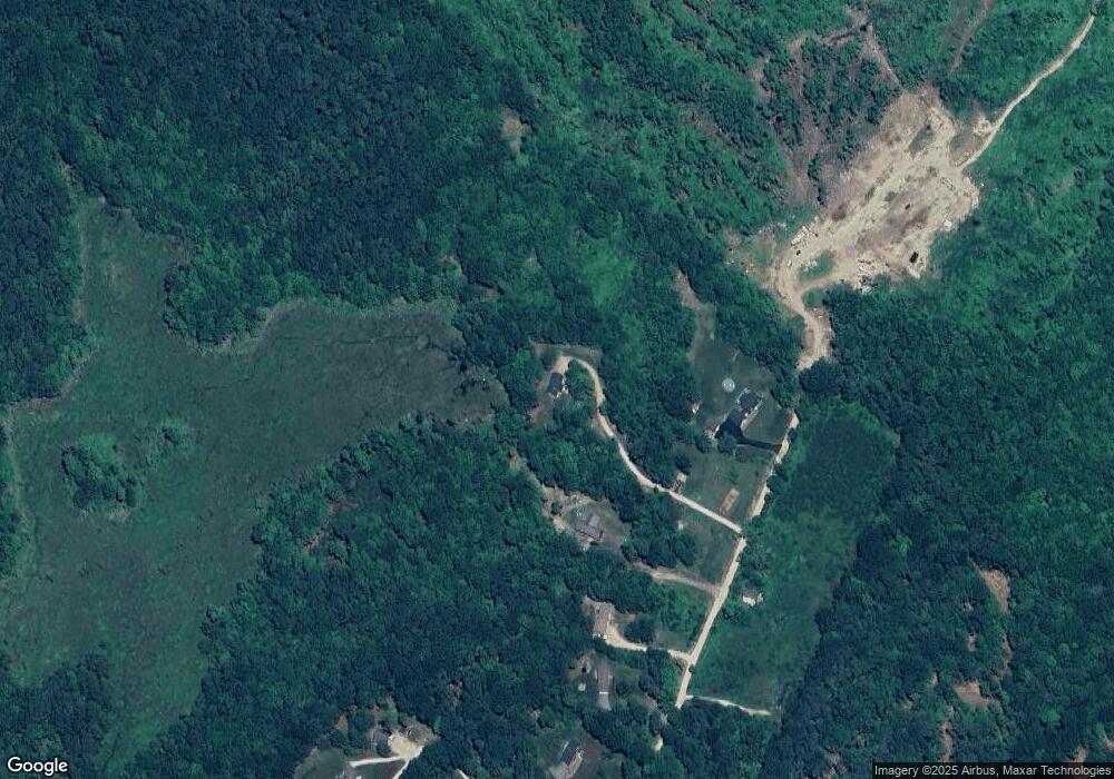
Map
Nearby Homes
- 67 Swiggey Brook Rd
- 353 Goboro Rd
- 47 King Rd
- 43 Cross Rd
- 49 Smith Sanborn Rd
- 55 Lane Rd
- 0 Ricker Rd Unit 1
- 229 Bee Hole Rd
- 0 Dowboro Rd Unit 11
- 361 Dover Rd
- 31 Ilona Ln
- 60 Chichester Rd
- 496 Loudon Rd
- 00 Wales Bridge Rd Unit 5
- 153 Leavitt Rd
- 23 Concord Hill Rd
- 7 Lilac Ln
- 22 Concord Hill Rd
- 662 New Hampshire 129
- 3 Willow Terrace
Your Personal Tour Guide
Ask me questions while you tour the home.