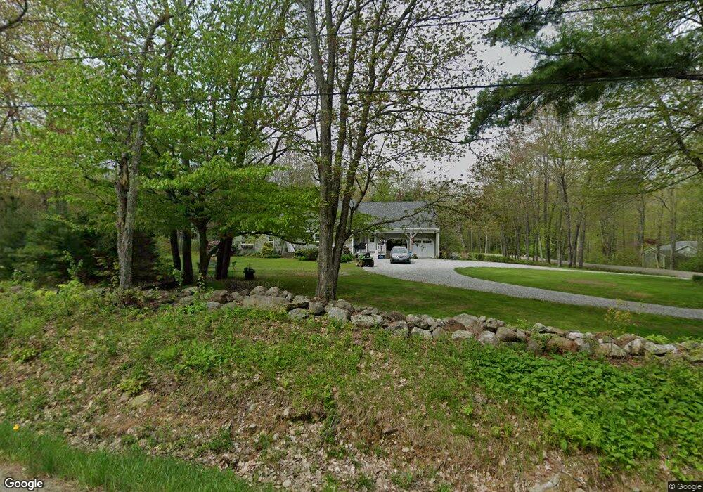
69 E Fork Rd Camden, ME 04843
Estimated Value: $592,000 - $735,000
3
Beds
2
Baths
1,778
Sq Ft
$385/Sq Ft
Est. Value
About This Home
This home is located at 69 E Fork Rd, Camden, ME 04843 and is currently estimated at $684,846, approximately $385 per square foot. 69 E Fork Rd is a home located in Knox County with nearby schools including Camden-Rockport Elementary School, Camden-Rockport Middle School, and Camden Hills Regional High School.
Ownership History
Date
Name
Owned For
Owner Type
Purchase Details
Closed on
Sep 15, 2025
Sold by
Emerson Ava S
Bought by
Saltonstall Mary
Current Estimated Value
Purchase Details
Closed on
Mar 25, 2008
Sold by
Edward W Emerson T W and Edward Bancroft
Bought by
Emerson Edward W
Create a Home Valuation Report for This Property
The Home Valuation Report is an in-depth analysis detailing your home's value as well as a comparison with similar homes in the area
Home Values in the Area
Average Home Value in this Area
Purchase History
| Date | Buyer | Sale Price | Title Company |
|---|---|---|---|
| Saltonstall Mary | $750,000 | -- | |
| Emerson Edward W | -- | -- | |
| Emerson Edward W | -- | -- |
Source: Public Records
Tax History
| Year | Tax Paid | Tax Assessment Tax Assessment Total Assessment is a certain percentage of the fair market value that is determined by local assessors to be the total taxable value of land and additions on the property. | Land | Improvement |
|---|---|---|---|---|
| 2024 | $6,005 | $571,900 | $301,300 | $270,600 |
| 2023 | $6,293 | $456,000 | $203,300 | $252,700 |
| 2022 | $6,019 | $456,000 | $203,300 | $252,700 |
| 2021 | $6,958 | $453,300 | $209,500 | $243,800 |
| 2020 | $6,813 | $453,300 | $209,500 | $243,800 |
| 2019 | $6,759 | $453,300 | $209,500 | $243,800 |
| 2018 | $5,827 | $391,600 | $204,500 | $187,100 |
| 2017 | $5,631 | $391,600 | $204,500 | $187,100 |
| 2016 | $5,227 | $335,300 | $168,700 | $166,600 |
| 2015 | $5,073 | $335,300 | $168,700 | $166,600 |
| 2014 | $4,838 | $335,300 | $168,700 | $166,600 |
| 2013 | $4,708 | $335,300 | $168,700 | $166,600 |
Source: Public Records
Map
Nearby Homes
- 43 Melvin Heights Rd
- 291 Molyneaux Rd
- 424 Molyneaux Rd
- 227 Mechanic St
- 16 Madison Way
- 80 Cobb Rd
- 2 Bald Mountain Rd
- 111 Start Rd
- 11 A Mountainside Park
- 91 Simonton Rd
- 120 Mechanic St
- 76 Park St
- 84 Mechanic St
- 66 Washington St
- 120 Barnestown Rd
- 11 Central St
- 48 Mechanic St
- 0 Ragged Mountain Rd
- 9 Harden Ave
- 93 Elm St
- 57 E Fork Rd
- 52 E Fork Rd
- 88 E Fork Rd
- 3 Cobb Hill Rd
- 28 E Fork Rd
- 42 E Fork Rd
- 100 E Fork Rd
- 207 Melvin Heights Rd
- 193 Melvin Heights Rd
- 221 Melvin Heights Rd
- 107 E Fork Rd
- 159 Melvin Heights Rd
- 219 Melvin Heights Rd
- 231 Melvin Heights Rd
- 23 E Fork Rd
- 245 Melvin Heights Rd
- 245 Melvin Heights Rd
- 225 Melvin Heights Rd
- 170 Melvin Heights Rd
- 155 Melvin Heights Rd
Your Personal Tour Guide
Ask me questions while you tour the home.