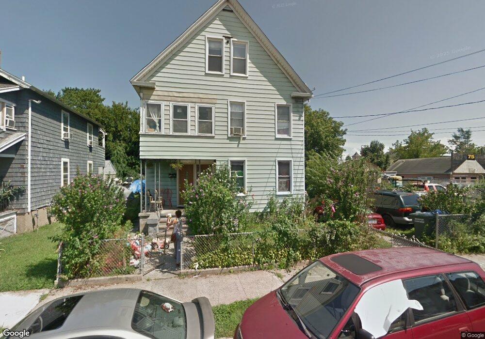
69 Elizabeth St Unit 71 Bridgeport, CT 06610
East End NeighborhoodEstimated Value: $307,000 - $511,000
4
Beds
2
Baths
2,626
Sq Ft
$151/Sq Ft
Est. Value
About This Home
This home is located at 69 Elizabeth St Unit 71, Bridgeport, CT 06610 and is currently estimated at $396,599, approximately $151 per square foot. 69 Elizabeth St Unit 71 is a home located in Fairfield County with nearby schools including Jettie S. Tisdale School and Harding High School.
Ownership History
Date
Name
Owned For
Owner Type
Purchase Details
Closed on
Feb 8, 2005
Sold by
Charles Ronald and Charles Cynthia
Bought by
Guevara Marcial
Current Estimated Value
Home Financials for this Owner
Home Financials are based on the most recent Mortgage that was taken out on this home.
Original Mortgage
$161,600
Interest Rate
5.77%
Purchase Details
Closed on
Jun 24, 1999
Sold by
Marszalek Katherine
Bought by
Charles Ronald H and Charles Cynthia L
Create a Home Valuation Report for This Property
The Home Valuation Report is an in-depth analysis detailing your home's value as well as a comparison with similar homes in the area
Home Values in the Area
Average Home Value in this Area
Purchase History
| Date | Buyer | Sale Price | Title Company |
|---|---|---|---|
| Guevara Marcial | $202,000 | -- | |
| Guevara Marcial | $202,000 | -- | |
| Charles Ronald H | $61,000 | -- | |
| Charles Ronald H | $61,000 | -- |
Source: Public Records
Mortgage History
| Date | Status | Borrower | Loan Amount |
|---|---|---|---|
| Open | Charles Ronald H | $220,000 | |
| Closed | Charles Ronald H | $161,600 |
Source: Public Records
Tax History Compared to Growth
Tax History
| Year | Tax Paid | Tax Assessment Tax Assessment Total Assessment is a certain percentage of the fair market value that is determined by local assessors to be the total taxable value of land and additions on the property. | Land | Improvement |
|---|---|---|---|---|
| 2025 | $7,217 | $166,100 | $59,730 | $106,370 |
| 2024 | $7,217 | $166,100 | $59,730 | $106,370 |
| 2023 | $7,217 | $166,100 | $59,730 | $106,370 |
| 2022 | $7,217 | $166,100 | $59,730 | $106,370 |
| 2021 | $7,217 | $166,100 | $59,730 | $106,370 |
| 2020 | $6,034 | $111,760 | $23,600 | $88,160 |
| 2019 | $6,034 | $111,760 | $23,600 | $88,160 |
| 2018 | $6,076 | $111,760 | $23,600 | $88,160 |
| 2017 | $6,076 | $111,760 | $23,600 | $88,160 |
| 2016 | $6,076 | $111,760 | $23,600 | $88,160 |
| 2015 | $6,976 | $165,300 | $40,940 | $124,360 |
| 2014 | $6,976 | $165,300 | $40,940 | $124,360 |
Source: Public Records
Map
Nearby Homes
- 73 Pixlee Place
- 270 East Ave
- 1804 Barnum Ave
- 123 Summerfield Ave
- 123-125 Summerfield Ave
- 35 Kent Ave
- 215 Summerfield Ave
- 652 Bishop Ave Unit 656
- 400 East Ave
- 415 Bruce Ave
- 1922 Boston Ave Unit 1924
- 266 Peace St
- 102 Bowe Ave
- 1034 Connecticut Ave
- 68 Edwin St Unit 70
- 69 Weber Ave
- 580 Wilmot Ave Unit 2
- 610 Wilmot Ave Unit 4
- 591 Wilmot Ave Unit 3
- 819 Connecticut Ave Unit 6
- 55 Elizabeth St Unit 57
- 39 Elizabeth St
- 77-79 Elizabeth St
- 77 Elizabeth St
- 43 Elizabeth St Unit 45
- 40 Elizabeth St
- 86 Elizabeth St Unit 86
- 86 Elizabeth St
- 42 Elizabeth St
- 88 Elizabeth St Unit 88
- 90 Elizabeth St Unit 90
- 90 Elizabeth St
- 88 Elizabeth St
- 1618 Barnum Ave
- 92 Elizabeth St Unit 92
- 24 Elizabeth St Unit 26
- 97 Willow St
- 97 Willow St Unit 3
- 97 Willow St Unit 2
- 99 Willow St Unit 1