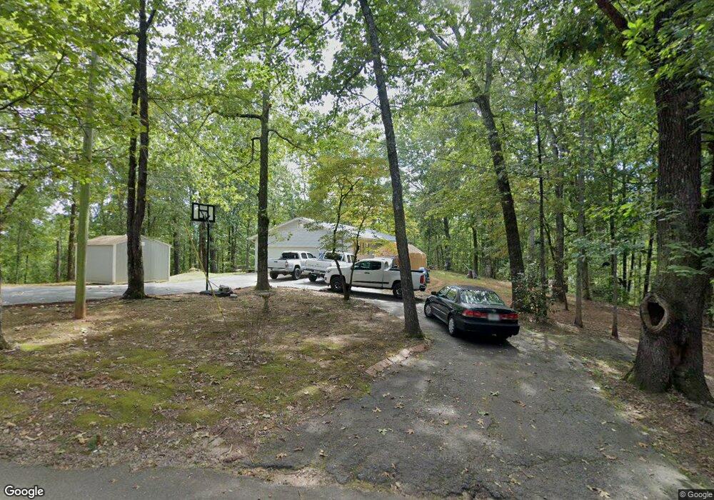
69 Elliots Ln Dahlonega, GA 30533
Estimated Value: $313,000 - $389,000
3
Beds
2
Baths
1,786
Sq Ft
$191/Sq Ft
Est. Value
About This Home
This home is located at 69 Elliots Ln, Dahlonega, GA 30533 and is currently estimated at $341,871, approximately $191 per square foot. 69 Elliots Ln is a home located in Lumpkin County with nearby schools including Lumpkin County High School.
Ownership History
Date
Name
Owned For
Owner Type
Purchase Details
Closed on
Feb 12, 2016
Sold by
Gaddis Clayton Lee
Bought by
Lee Ronald D and Jones Johnny
Current Estimated Value
Purchase Details
Closed on
Jan 1, 1985
Bought by
Gaddis Clayton Lee
Create a Home Valuation Report for This Property
The Home Valuation Report is an in-depth analysis detailing your home's value as well as a comparison with similar homes in the area
Home Values in the Area
Average Home Value in this Area
Purchase History
| Date | Buyer | Sale Price | Title Company |
|---|---|---|---|
| Lee Ronald D | $120,000 | -- | |
| Gaddis Clayton Lee | -- | -- |
Source: Public Records
Tax History Compared to Growth
Tax History
| Year | Tax Paid | Tax Assessment Tax Assessment Total Assessment is a certain percentage of the fair market value that is determined by local assessors to be the total taxable value of land and additions on the property. | Land | Improvement |
|---|---|---|---|---|
| 2024 | $45 | $73,145 | $12,150 | $60,995 |
| 2023 | $0 | $68,111 | $11,046 | $57,065 |
| 2022 | $1,534 | $61,963 | $9,205 | $52,758 |
| 2021 | $1,371 | $53,543 | $9,205 | $44,338 |
| 2020 | $1,372 | $52,007 | $8,820 | $43,187 |
| 2019 | $1,385 | $52,007 | $8,820 | $43,187 |
| 2018 | $1,343 | $47,352 | $8,820 | $38,532 |
| 2017 | $1,355 | $46,831 | $8,820 | $38,011 |
| 2016 | $1,096 | $36,656 | $4,874 | $31,782 |
| 2015 | $990 | $36,656 | $4,874 | $31,782 |
| 2014 | $990 | $37,545 | $4,874 | $32,671 |
| 2013 | -- | $38,433 | $4,873 | $33,560 |
Source: Public Records
Map
Nearby Homes
- 433 Elliots Ln
- 162 Stoneridge Dr
- 125 Lake Laurel Dr
- 6439 S Chestatee
- 6038 S Chestatee
- 0 Long Branch Rd Unit 10271720
- 0 Long Branch Rd Unit 10271266
- 0 Long Branch Rd Unit 7357871
- 00 Long Branch Rd
- 75 Melody Ln
- 0 Robinson Rd Unit 10597950
- 0 Robinson Rd Unit 7643549
- 39 E Point Dr
- 85 Waterloo Dr
- 5195 S Chestatee
- 334 Silas Rd
- 391 Pinewood Place
- 55 Flat Rock Pointe
- 459 Gold Ridge Rd
- 6292 Timber Creek Trail
- 69 Elliots Ln Unit 3
- 37 Elliots Ln
- 68 Elliots Ln
- 135 Elliots Ln
- 159 S Wind Dr
- 428 Seven Mile Hill Rd
- 126 Elliots Ln
- S S Wind Dr
- 498 Seven Mile Hill Rd
- 164 S Wind Dr
- 217 Elliots Ln
- 143 S Wind Dr
- 0 Elliots Ln
- 144 S Wind Dr
- 130 Elliots Ln
- 93 S Wind Dr
- 146 S Wind Dr
- 243 Elliots Ln
- 150 S Wind Dr
- 243 Janna Ln