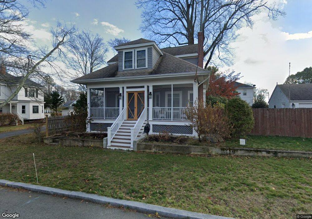
69 Euclid Ave Riverside, RI 02915
Riverside NeighborhoodEstimated Value: $424,630 - $482,000
3
Beds
2
Baths
1,176
Sq Ft
$384/Sq Ft
Est. Value
About This Home
This home is located at 69 Euclid Ave, Riverside, RI 02915 and is currently estimated at $451,658, approximately $384 per square foot. 69 Euclid Ave is a home located in Providence County with nearby schools including East Providence High School, St Mary Academy-Bay View, and The Gordon School.
Ownership History
Date
Name
Owned For
Owner Type
Purchase Details
Closed on
Feb 5, 2018
Sold by
Fastiggi Richard J and Sidway Rebecca
Bought by
Sidway Rebecca A
Current Estimated Value
Purchase Details
Closed on
Apr 22, 1997
Sold by
Annis Elisabeth W
Bought by
Kingsford Jon N and Kingsford Carol
Create a Home Valuation Report for This Property
The Home Valuation Report is an in-depth analysis detailing your home's value as well as a comparison with similar homes in the area
Home Values in the Area
Average Home Value in this Area
Purchase History
| Date | Buyer | Sale Price | Title Company |
|---|---|---|---|
| Sidway Rebecca A | -- | -- | |
| Kingsford Jon N | $105,000 | -- | |
| Sidway Rebecca A | -- | -- | |
| Kingsford Jon N | $105,000 | -- |
Source: Public Records
Mortgage History
| Date | Status | Borrower | Loan Amount |
|---|---|---|---|
| Previous Owner | Kingsford Jon N | $220,000 | |
| Previous Owner | Kingsford Jon N | $55,000 | |
| Previous Owner | Kingsford Jon N | $122,350 |
Source: Public Records
Tax History
| Year | Tax Paid | Tax Assessment Tax Assessment Total Assessment is a certain percentage of the fair market value that is determined by local assessors to be the total taxable value of land and additions on the property. | Land | Improvement |
|---|---|---|---|---|
| 2025 | $4,134 | $316,300 | $102,500 | $213,800 |
| 2024 | $4,407 | $287,500 | $85,400 | $202,100 |
| 2023 | $4,244 | $287,500 | $85,400 | $202,100 |
| 2022 | $4,158 | $190,200 | $50,700 | $139,500 |
| 2021 | $4,089 | $190,200 | $47,900 | $142,300 |
| 2020 | $3,916 | $190,200 | $47,900 | $142,300 |
| 2019 | $3,808 | $190,200 | $47,900 | $142,300 |
| 2018 | $3,418 | $149,400 | $51,400 | $98,000 |
| 2017 | $3,342 | $149,400 | $51,400 | $98,000 |
| 2016 | $3,326 | $149,400 | $51,400 | $98,000 |
| 2015 | $3,280 | $142,900 | $50,200 | $92,700 |
| 2014 | $3,280 | $142,900 | $50,200 | $92,700 |
Source: Public Records
Map
Nearby Homes
- 151 Willett Ave Unit 2
- 43 Bullocks Point Ave Unit 4A
- 6 Fuller Ave
- 25 Bullocks Point Ave Unit 5C
- 33 Bullocks Point Ave Unit 5C
- 25 Arnold St
- 103 Burnside Ave
- 28 Jefferson Ave
- 33 Pine St Unit 35
- 56 Knowlton St
- 14 Benedict St
- 14 Winthrop St
- 2941 Pawtucket Ave
- 42 Mountain Ave
- 41 White Ave
- 85 Hospital Rd
- 53 Wampanoag Trail
- 15 Claire St
- 85 Hilton Ave
- 34 Commack Rd
- 57 Euclid Ave
- 73 Euclid Ave
- 72 Firglade Ave
- 60 Firglade Ave Unit 62
- 45 Euclid Ave
- 82 Euclid Ave
- 80 Firglade Ave
- 54 Firglade Ave
- 62 Euclid Ave
- 58 Euclid Ave
- 33 Lakeside St
- 56 Euclid Ave
- 43 Euclid Ave
- 49 Lakeside St
- 32 Whitcomb Rd
- 53 Wendell St
- 89 Catalpa Ave
- 75 Catalpa Ave
- 26 Whitcomb Rd
- 84 Euclid Ave
Your Personal Tour Guide
Ask me questions while you tour the home.