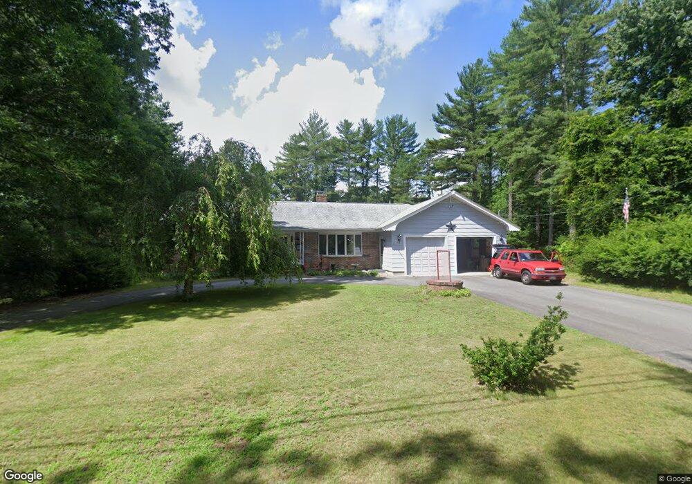
69 Forge Rd Assonet, MA 02702
Assonet NeighborhoodEstimated Value: $478,000 - $605,000
2
Beds
3
Baths
1,708
Sq Ft
$331/Sq Ft
Est. Value
About This Home
This home is located at 69 Forge Rd, Assonet, MA 02702 and is currently estimated at $565,322, approximately $330 per square foot. 69 Forge Rd is a home located in Bristol County with nearby schools including Freetown Elementary School, George R Austin Intermediate School, and Freetown-Lakeville Middle School.
Ownership History
Date
Name
Owned For
Owner Type
Purchase Details
Closed on
Aug 1, 2024
Sold by
Depin Lucille I
Bought by
Lucille I Depin Irt and Depin
Current Estimated Value
Purchase Details
Closed on
Jan 22, 2024
Sold by
Depin Robert F and Depin Lucille I
Bought by
Depin Lucille I
Purchase Details
Closed on
Feb 8, 1991
Sold by
Silvia Gerald G
Bought by
Depin Robert F
Purchase Details
Closed on
Jun 7, 1988
Sold by
Cook Robert L
Bought by
Silvia Gerald G
Create a Home Valuation Report for This Property
The Home Valuation Report is an in-depth analysis detailing your home's value as well as a comparison with similar homes in the area
Home Values in the Area
Average Home Value in this Area
Purchase History
| Date | Buyer | Sale Price | Title Company |
|---|---|---|---|
| Lucille I Depin Irt | -- | None Available | |
| Lucille I Depin Irt | -- | None Available | |
| Depin Lucille I | -- | None Available | |
| Depin Lucille I | -- | None Available | |
| Depin Robert F | $136,000 | -- | |
| Depin Robert F | $136,000 | -- | |
| Silvia Gerald G | $184,900 | -- |
Source: Public Records
Mortgage History
| Date | Status | Borrower | Loan Amount |
|---|---|---|---|
| Previous Owner | Silvia Gerald G | $10,000 | |
| Previous Owner | Silvia Gerald G | $50,000 | |
| Previous Owner | Silvia Gerald G | $107,000 |
Source: Public Records
Tax History
| Year | Tax Paid | Tax Assessment Tax Assessment Total Assessment is a certain percentage of the fair market value that is determined by local assessors to be the total taxable value of land and additions on the property. | Land | Improvement |
|---|---|---|---|---|
| 2025 | $5,065 | $511,100 | $181,300 | $329,800 |
| 2024 | $5,031 | $482,400 | $171,000 | $311,400 |
| 2023 | $4,934 | $460,700 | $154,000 | $306,700 |
| 2022 | $4,703 | $390,000 | $130,500 | $259,500 |
| 2021 | $4,509 | $355,000 | $118,600 | $236,400 |
| 2020 | $4,491 | $344,900 | $114,100 | $230,800 |
| 2019 | $4,240 | $322,400 | $108,700 | $213,700 |
| 2018 | $3,994 | $300,100 | $108,700 | $191,400 |
| 2017 | $3,879 | $291,200 | $108,700 | $182,500 |
| 2016 | $3,733 | $285,200 | $105,500 | $179,700 |
| 2015 | $3,635 | $281,800 | $105,500 | $176,300 |
| 2014 | $3,406 | $270,100 | $103,400 | $166,700 |
Source: Public Records
Map
Nearby Homes
- 0 Sammys Ln
- 5 Hadley Heights Way
- 16 Water St Unit C
- 16 Water St Unit A
- 16 Water St Unit B
- 16 Water St Unit D
- 4 Hadley Heights Way
- 37 Simpson Ln
- 42 High St
- 52 Anthony St
- 23 Elmwood Dr
- 73 Bayview Ave
- 73 Seymour St
- 47 Narrows Rd
- 4 Narrows Rd
- 66 S Main St
- 121 Bayview Ave
- 117 High St
- 35 Water St
- 6 Jessie Ln
Your Personal Tour Guide
Ask me questions while you tour the home.