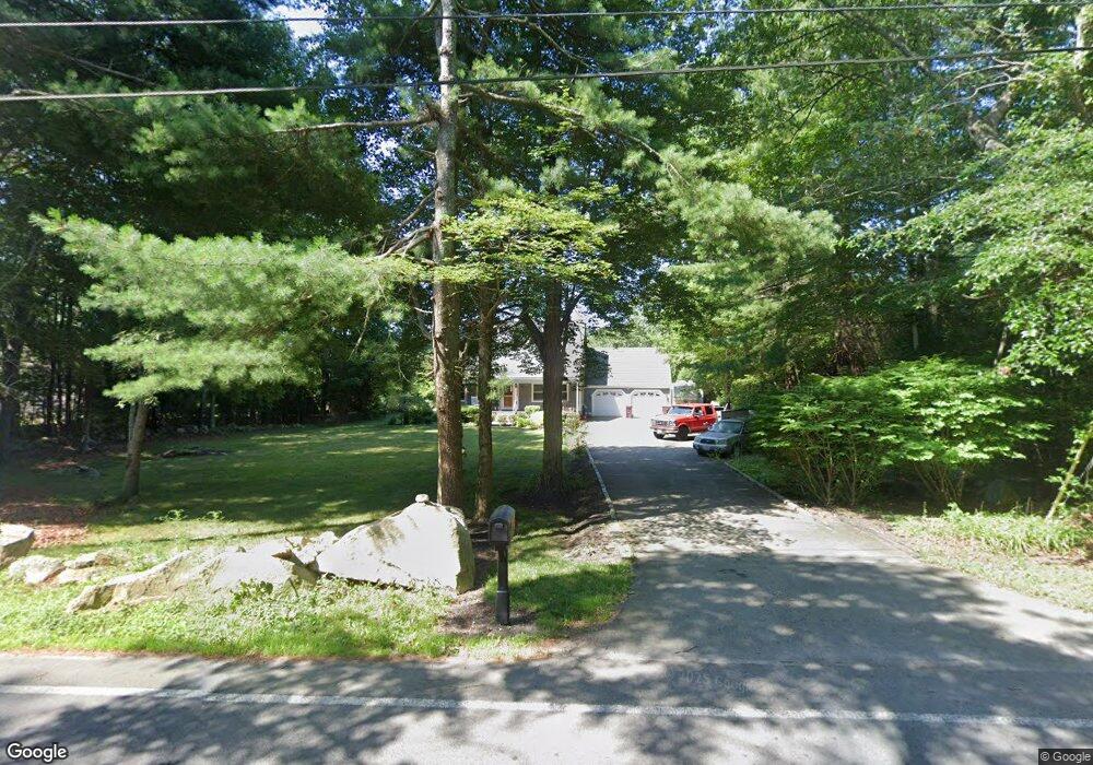
69 Gammons Rd Acushnet, MA 02743
Upper Acushnet NeighborhoodEstimated Value: $553,000 - $677,000
--
Bed
2
Baths
1,944
Sq Ft
$316/Sq Ft
Est. Value
About This Home
This home is located at 69 Gammons Rd, Acushnet, MA 02743 and is currently estimated at $615,146, approximately $316 per square foot. 69 Gammons Rd is a home located in Bristol County with nearby schools including Acushnet Elementary School, Albert F Ford Middle School, and St Francis Xavier Elementary School.
Ownership History
Date
Name
Owned For
Owner Type
Purchase Details
Closed on
Jun 2, 2014
Sold by
Mello John J and Mello Kristine A
Bought by
Mello Kristine A
Current Estimated Value
Purchase Details
Closed on
Dec 28, 2000
Sold by
Sarmento Jorge E and Sarmento Zelia M
Bought by
Mello John J and Mello Kristine A
Home Financials for this Owner
Home Financials are based on the most recent Mortgage that was taken out on this home.
Original Mortgage
$190,500
Interest Rate
7.7%
Mortgage Type
Purchase Money Mortgage
Purchase Details
Closed on
Oct 12, 1995
Sold by
Richard Maurice J and Richard Kim E
Bought by
Sarmento Jorge E and Sarmento Zelia M
Create a Home Valuation Report for This Property
The Home Valuation Report is an in-depth analysis detailing your home's value as well as a comparison with similar homes in the area
Home Values in the Area
Average Home Value in this Area
Purchase History
| Date | Buyer | Sale Price | Title Company |
|---|---|---|---|
| Mello Kristine A | -- | -- | |
| Mello John J | $240,500 | -- | |
| Sarmento Jorge E | $155,000 | -- |
Source: Public Records
Mortgage History
| Date | Status | Borrower | Loan Amount |
|---|---|---|---|
| Previous Owner | Sarmento Jorge E | $30,000 | |
| Previous Owner | Sarmento Jorge E | $180,000 | |
| Previous Owner | Sarmento Jorge E | $190,500 |
Source: Public Records
Tax History Compared to Growth
Tax History
| Year | Tax Paid | Tax Assessment Tax Assessment Total Assessment is a certain percentage of the fair market value that is determined by local assessors to be the total taxable value of land and additions on the property. | Land | Improvement |
|---|---|---|---|---|
| 2025 | $52 | $480,000 | $125,800 | $354,200 |
| 2024 | $5,028 | $440,700 | $120,300 | $320,400 |
| 2023 | $5,100 | $425,000 | $109,400 | $315,600 |
| 2022 | $5,045 | $380,200 | $103,900 | $276,300 |
| 2021 | $4,650 | $336,200 | $103,900 | $232,300 |
| 2020 | $4,687 | $336,200 | $103,900 | $232,300 |
| 2019 | $4,572 | $322,400 | $103,900 | $218,500 |
| 2018 | $4,352 | $306,400 | $103,900 | $202,500 |
| 2017 | $4,286 | $296,800 | $103,900 | $192,900 |
| 2016 | $4,365 | $300,400 | $103,900 | $196,500 |
| 2015 | $3,998 | $280,000 | $103,900 | $176,100 |
Source: Public Records
Map
Nearby Homes