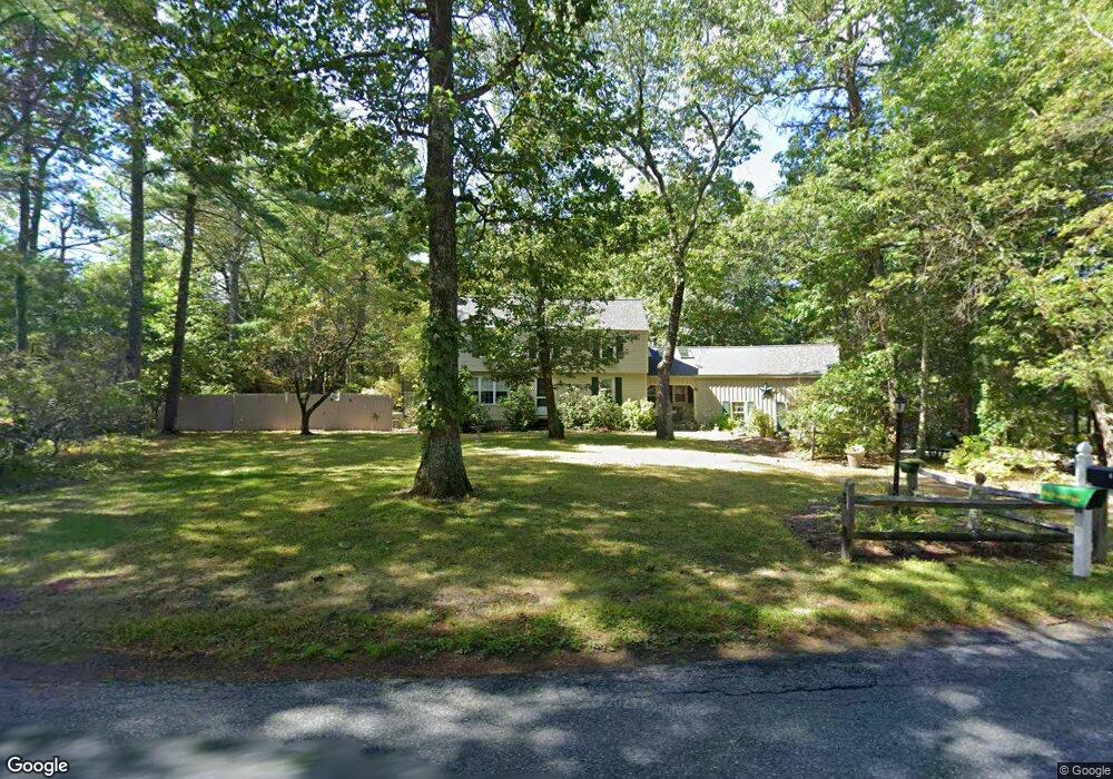
69 Hall St Dunstable, MA 01827
Estimated Value: $657,000 - $743,000
4
Beds
2
Baths
2,284
Sq Ft
$299/Sq Ft
Est. Value
About This Home
This home is located at 69 Hall St, Dunstable, MA 01827 and is currently estimated at $682,721, approximately $298 per square foot. 69 Hall St is a home located in Middlesex County with nearby schools including Groton Dunstable Regional High School.
Create a Home Valuation Report for This Property
The Home Valuation Report is an in-depth analysis detailing your home's value as well as a comparison with similar homes in the area
Home Values in the Area
Average Home Value in this Area
Tax History
| Year | Tax Paid | Tax Assessment Tax Assessment Total Assessment is a certain percentage of the fair market value that is determined by local assessors to be the total taxable value of land and additions on the property. | Land | Improvement |
|---|---|---|---|---|
| 2025 | $7,231 | $525,900 | $220,800 | $305,100 |
| 2024 | $6,884 | $493,100 | $202,600 | $290,500 |
| 2023 | $6,939 | $463,500 | $202,600 | $260,900 |
| 2022 | $6,484 | $425,200 | $202,600 | $222,600 |
| 2021 | $6,425 | $391,500 | $185,300 | $206,200 |
| 2020 | $6,458 | $383,500 | $185,300 | $198,200 |
| 2019 | $6,353 | $372,400 | $185,300 | $187,100 |
| 2018 | $6,327 | $360,700 | $184,300 | $176,400 |
| 2017 | $6,110 | $359,000 | $184,300 | $174,700 |
| 2016 | $5,781 | $349,300 | $176,100 | $173,200 |
| 2015 | $5,432 | $324,700 | $148,400 | $176,300 |
| 2014 | $5,121 | $324,700 | $148,400 | $176,300 |
Source: Public Records
Map
Nearby Homes
- 2 Wildflower Ln
- 0 Old Dunstable Rd
- 208 North St
- 0 Lowell St
- 11 Unkety Brook Way
- 12 Unkety Brook Way
- 8 Unkety Brook Way
- 4 Unkety Brook Way
- 58 Lowell Rd
- 699 Martins Pond Rd
- 91 Chicopee Row
- 473 High St
- 53 Mclains Woods Rd
- 76 Tenney Rd
- 57 French Ct
- 200 Nashua Rd
- 27 Merrimac Dr
- 114 Groton St
- 17 Merrimac Dr
- 29 Tarbell St
Your Personal Tour Guide
Ask me questions while you tour the home.