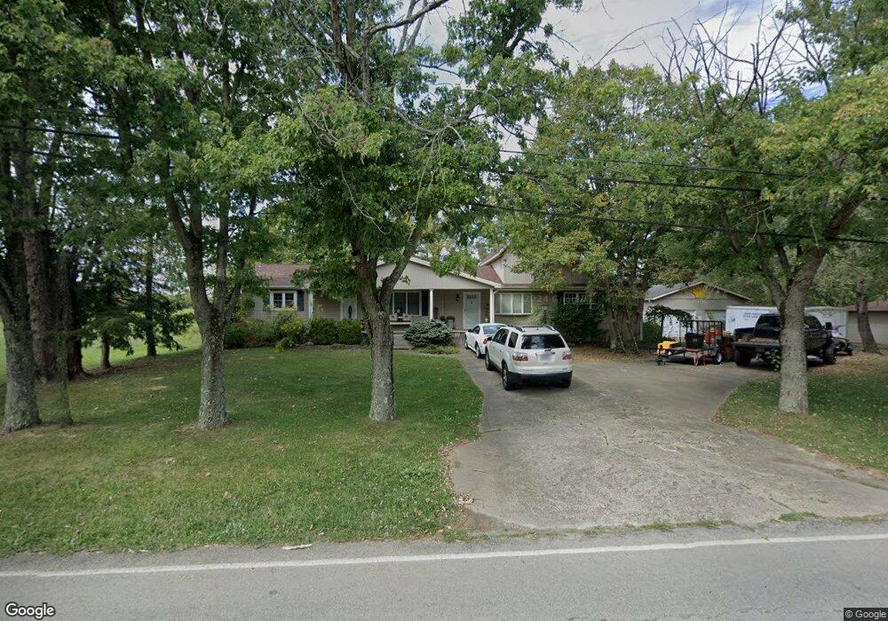
69 Hamer Rd Georgetown, OH 45121
Estimated Value: $206,000 - $308,000
3
Beds
2
Baths
1,715
Sq Ft
$148/Sq Ft
Est. Value
About This Home
This home is located at 69 Hamer Rd, Georgetown, OH 45121 and is currently estimated at $254,047, approximately $148 per square foot. 69 Hamer Rd is a home located in Brown County with nearby schools including Georgetown Elementary School and Georgetown Jr/Sr High School.
Ownership History
Date
Name
Owned For
Owner Type
Purchase Details
Closed on
Dec 29, 2006
Sold by
Murray Shana D
Bought by
Wallace Ronald E
Current Estimated Value
Home Financials for this Owner
Home Financials are based on the most recent Mortgage that was taken out on this home.
Original Mortgage
$99,840
Outstanding Balance
$68,340
Interest Rate
9%
Mortgage Type
New Conventional
Estimated Equity
$185,707
Create a Home Valuation Report for This Property
The Home Valuation Report is an in-depth analysis detailing your home's value as well as a comparison with similar homes in the area
Home Values in the Area
Average Home Value in this Area
Purchase History
| Date | Buyer | Sale Price | Title Company |
|---|---|---|---|
| Wallace Ronald E | $124,800 | Accurate Title Solutions |
Source: Public Records
Mortgage History
| Date | Status | Borrower | Loan Amount |
|---|---|---|---|
| Open | Wallace Ronald E | $99,840 |
Source: Public Records
Tax History
| Year | Tax Paid | Tax Assessment Tax Assessment Total Assessment is a certain percentage of the fair market value that is determined by local assessors to be the total taxable value of land and additions on the property. | Land | Improvement |
|---|---|---|---|---|
| 2024 | $2,418 | $68,280 | $4,170 | $64,110 |
| 2023 | $2,419 | $48,110 | $3,470 | $44,640 |
| 2022 | $1,855 | $48,110 | $3,470 | $44,640 |
| 2021 | $1,838 | $48,110 | $3,470 | $44,640 |
| 2020 | $1,626 | $40,090 | $2,890 | $37,200 |
| 2019 | $1,615 | $40,090 | $2,890 | $37,200 |
| 2018 | $1,604 | $40,090 | $2,890 | $37,200 |
| 2017 | $1,150 | $34,130 | $3,180 | $30,950 |
| 2016 | $1,150 | $34,130 | $3,180 | $30,950 |
| 2015 | $1,203 | $34,130 | $3,180 | $30,950 |
| 2014 | $1,203 | $33,840 | $2,890 | $30,950 |
| 2013 | $1,200 | $33,840 | $2,890 | $30,950 |
Source: Public Records
Map
Nearby Homes
- 2 N Kenwood Ave
- 1 N Kenwood Ave
- 427 Kenwood Ave
- 508 Mount Orab Pike
- 399 Elmwood Ct
- 60 New St
- 405 N Main St
- 406 E North St
- 4279 Sunshine Rd
- 666 E State St
- 510 W State St
- 708 E State St
- 505 S Water St
- 9995 U S 68
- 0 Barnes Rd Unit 1851215
- 3486 Barnes Rd
- 0 St Rt 221 & Footbridge Unit 1826509
- 155 Free Soil Rd
- 175 Douglas Cir
- 20 Heritage Hill Dr
Your Personal Tour Guide
Ask me questions while you tour the home.