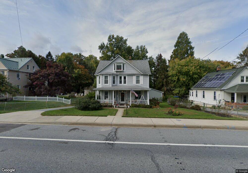
69 Hanover Rd Reisterstown, MD 21136
Estimated Value: $338,000 - $434,000
--
Bed
2
Baths
2,000
Sq Ft
$204/Sq Ft
Est. Value
About This Home
This home is located at 69 Hanover Rd, Reisterstown, MD 21136 and is currently estimated at $407,939, approximately $203 per square foot. 69 Hanover Rd is a home located in Baltimore County with nearby schools including Franklin Elementary School, Franklin Middle, and Franklin High.
Ownership History
Date
Name
Owned For
Owner Type
Purchase Details
Closed on
Feb 28, 2018
Sold by
Hoppa Charles G and Hoppa Maureen A
Bought by
Hoppa Charles G and Hoppa Maureen A
Current Estimated Value
Purchase Details
Closed on
Aug 15, 2001
Sold by
Kiima Rein
Bought by
Hoppa Charles G and Hoppa Maureen A
Purchase Details
Closed on
Dec 4, 1997
Sold by
Melton Kim M
Bought by
Kiima Rein and Kiima Gloria Hoppa
Purchase Details
Closed on
Jul 10, 1990
Sold by
Spangler John D
Bought by
Melton Kim M
Create a Home Valuation Report for This Property
The Home Valuation Report is an in-depth analysis detailing your home's value as well as a comparison with similar homes in the area
Home Values in the Area
Average Home Value in this Area
Purchase History
| Date | Buyer | Sale Price | Title Company |
|---|---|---|---|
| Hoppa Charles G | -- | None Available | |
| Hoppa Charles G | $160,000 | -- | |
| Kiima Rein | $148,000 | -- | |
| Melton Kim M | -- | -- |
Source: Public Records
Tax History Compared to Growth
Tax History
| Year | Tax Paid | Tax Assessment Tax Assessment Total Assessment is a certain percentage of the fair market value that is determined by local assessors to be the total taxable value of land and additions on the property. | Land | Improvement |
|---|---|---|---|---|
| 2025 | $4,098 | $292,400 | -- | -- |
| 2024 | $4,098 | $266,400 | $82,500 | $183,900 |
| 2023 | $2,026 | $261,467 | $0 | $0 |
| 2022 | $4,298 | $256,533 | $0 | $0 |
| 2021 | $3,863 | $251,600 | $82,500 | $169,100 |
| 2020 | $3,863 | $242,733 | $0 | $0 |
| 2019 | $3,761 | $233,867 | $0 | $0 |
| 2018 | $3,738 | $225,000 | $82,500 | $142,500 |
| 2017 | $3,546 | $215,967 | $0 | $0 |
| 2016 | $2,987 | $206,933 | $0 | $0 |
| 2015 | $2,987 | $197,900 | $0 | $0 |
| 2014 | $2,987 | $197,900 | $0 | $0 |
Source: Public Records
Map
Nearby Homes
- 4 Wolf Ave
- 7 Butler Rd
- 56 Main St
- 246 Pidco Rd
- 13943 B Old Hanover Rd
- 13943 C Old Hanover Rd
- 13943 D Old Hanover Rd
- 131 Westminster Rd
- 27 Farm Gate Way
- 19 Bond Ave
- 65A Bond Ave
- 209 Bentley Hill Dr
- 10 Pennyborough Ct
- 28 Goldsborough Way
- 1 Forest Glen Ct
- 426 Main St
- 2 Bowers Ln
- 123 Glyndon Trace Dr
- 225 Northway Rd
- 15 Gloucester Ct